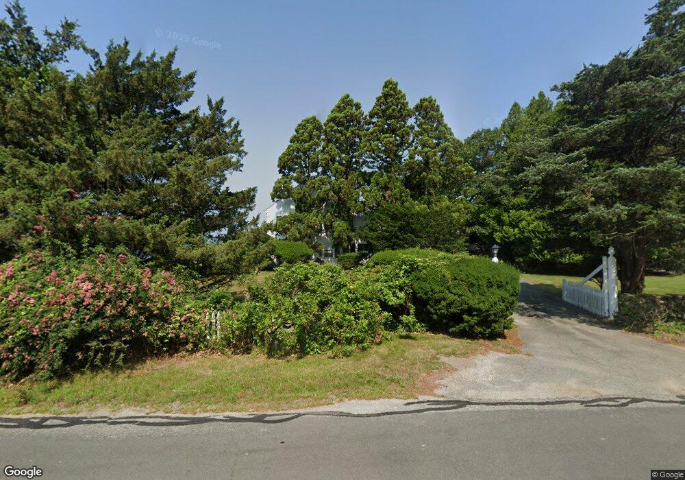
214 Point Rd Marion, MA 02738
Estimated Value: $2,666,000 - $4,095,000
8
Beds
6
Baths
5,291
Sq Ft
$641/Sq Ft
Est. Value
About This Home
This home is located at 214 Point Rd, Marion, MA 02738 and is currently estimated at $3,391,493, approximately $640 per square foot. 214 Point Rd is a home located in Plymouth County with nearby schools including Old Rochester Regional High School.
Ownership History
Date
Name
Owned For
Owner Type
Purchase Details
Closed on
Nov 3, 2006
Sold by
Heather Winds T and Browne Marcia J
Bought by
Browne Tr Marcia J and Rurode Mary Beth
Current Estimated Value
Create a Home Valuation Report for This Property
The Home Valuation Report is an in-depth analysis detailing your home's value as well as a comparison with similar homes in the area
Purchase History
| Date | Buyer | Sale Price | Title Company |
|---|---|---|---|
| Browne Tr Marcia J | -- | -- |
Source: Public Records
Mortgage History
| Date | Status | Borrower | Loan Amount |
|---|---|---|---|
| Previous Owner | Browne Tr Marcia J | $500,000 | |
| Previous Owner | Browne Tr Marcia J | $40,000 | |
| Previous Owner | Browne Tr Marcia J | $40,000 |
Source: Public Records
Tax History
| Year | Tax Paid | Tax Assessment Tax Assessment Total Assessment is a certain percentage of the fair market value that is determined by local assessors to be the total taxable value of land and additions on the property. | Land | Improvement |
|---|---|---|---|---|
| 2025 | $34,515 | $3,703,280 | $2,504,780 | $1,198,500 |
| 2024 | $34,006 | $3,672,376 | $2,473,876 | $1,198,500 |
| 2023 | $30,508 | $3,231,784 | $1,974,484 | $1,257,300 |
| 2022 | $29,390 | $2,708,768 | $1,855,768 | $853,000 |
| 2021 | $29,001 | $2,561,954 | $1,805,654 | $756,300 |
| 2020 | $29,373 | $2,510,500 | $1,805,700 | $704,800 |
| 2019 | $27,691 | $2,510,500 | $1,805,700 | $704,800 |
| 2018 | $24,474 | $2,137,500 | $1,341,700 | $795,800 |
| 2017 | $24,389 | $2,137,500 | $1,341,700 | $795,800 |
| 2016 | $23,251 | $2,055,800 | $1,341,700 | $714,100 |
| 2015 | $22,840 | $2,055,800 | $1,341,700 | $714,100 |
Source: Public Records
Map
Nearby Homes
- 25 West Ave
- 91 Piney Point Rd
- 414 Point Rd
- 44 Register Rd
- 0 Register Rd
- 85 Moorings Rd
- 13 Converse Rd
- 15 Quelle Ln
- 45 Front St
- 0 Rd Unit 73474504
- 16 Vine St
- 25 Main St Unit 3
- 143 Cross Neck Rd
- 7 Upland Way
- 4 Olde Logging Rd
- 13 Cottage St
- 0 Cross Neck Rd Unit 73420524
- 0 Cross Neck Rd Unit 73466177
- 0 Cross Neck Rd Unit 73420525
- 701 Mill St
- 222 Point Rd
- 236 Point Rd
- 14 Planting Island Rd
- 196 Point Rd
- 196 Point Rd Unit n/a
- 11 Planting Island Rd
- 21 Planting Island Rd
- 1 Planting Island Rd
- 174 Point Rd
- 168 Point Rd
- 4 Howland Rd
- 162 Point Rd
- 16 Howland Rd
- 152 Point Rd
- 142 Point Rd
- 136 Point Rd
- 128 Point Rd
- Lot 27 W Avenue - Planting Island
- 0 East Ave
- 4 East Ave
Your Personal Tour Guide
Ask me questions while you tour the home.