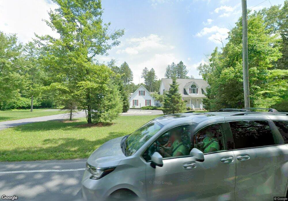
214 Route 715 Chestnuthill Township, PA 18322
Brodheadsville NeighborhoodEstimated Value: $473,000 - $497,000
3
Beds
4
Baths
2,864
Sq Ft
$168/Sq Ft
Est. Value
About This Home
This home is located at 214 Route 715, Chestnuthill Township, PA 18322 and is currently estimated at $480,784, approximately $167 per square foot. 214 Route 715 is a home located in Monroe County with nearby schools including Pleasant Valley Elementary School, Pleasant Valley Intermediate School, and Pleasant Valley Middle School.
Ownership History
Date
Name
Owned For
Owner Type
Purchase Details
Closed on
Apr 22, 2016
Sold by
Schurawlow Anatoli S and Schurawlow Linda
Bought by
Schurawlow Anatoli
Current Estimated Value
Purchase Details
Closed on
Mar 23, 2007
Sold by
Drewmar Llc
Bought by
Schurawlow Anatoli and Schurawlow Linda
Purchase Details
Closed on
Aug 17, 2006
Sold by
Barthhold R William and Diederich Susan B
Bought by
Drewmar Llc
Home Financials for this Owner
Home Financials are based on the most recent Mortgage that was taken out on this home.
Original Mortgage
$180,000
Interest Rate
6.71%
Mortgage Type
Unknown
Purchase Details
Closed on
Dec 20, 2005
Sold by
Barthold Kenneth A and Barthold James A
Bought by
Barthold Kenneth A and Barthold James A
Create a Home Valuation Report for This Property
The Home Valuation Report is an in-depth analysis detailing your home's value as well as a comparison with similar homes in the area
Home Values in the Area
Average Home Value in this Area
Purchase History
| Date | Buyer | Sale Price | Title Company |
|---|---|---|---|
| Schurawlow Anatoli | -- | None Available | |
| Schurawlow Anatoli | $170,000 | Investors Abstract | |
| Drewmar Llc | $360,000 | None Available | |
| Barthold Kenneth A | -- | None Available |
Source: Public Records
Mortgage History
| Date | Status | Borrower | Loan Amount |
|---|---|---|---|
| Previous Owner | Drewmar Llc | $180,000 |
Source: Public Records
Tax History Compared to Growth
Tax History
| Year | Tax Paid | Tax Assessment Tax Assessment Total Assessment is a certain percentage of the fair market value that is determined by local assessors to be the total taxable value of land and additions on the property. | Land | Improvement |
|---|---|---|---|---|
| 2025 | $2,095 | $257,430 | $50,690 | $206,740 |
| 2024 | $1,709 | $257,430 | $50,690 | $206,740 |
| 2023 | $7,796 | $257,430 | $50,690 | $206,740 |
| 2022 | $7,584 | $257,430 | $50,690 | $206,740 |
| 2021 | $7,228 | $257,430 | $50,690 | $206,740 |
| 2020 | $6,941 | $257,430 | $50,690 | $206,740 |
| 2019 | $7,447 | $41,780 | $4,550 | $37,230 |
| 2018 | $7,364 | $41,780 | $4,550 | $37,230 |
| 2017 | $7,279 | $41,780 | $4,550 | $37,230 |
| 2016 | $1,157 | $41,780 | $4,550 | $37,230 |
| 2015 | -- | $41,780 | $4,550 | $37,230 |
| 2014 | -- | $41,780 | $4,550 | $37,230 |
Source: Public Records
Map
Nearby Homes
- 44 Regency Ln
- 423 Cottontail Ln
- 648 Marion Ln
- 300 Silver Valley Rd
- 1762 United States Route 209
- 232 Rodenbach Ln
- 103 Silver Valley Rd
- 311 Switzgable Dr
- 558 Effort Neola Rd
- 1547 Weir Creek Dr
- 2382 Pennsylvania 115
- 219 W Scott Ct
- 2718 Oak Ln
- 219 Robins Ct
- 1297 Woodstock Dr
- 2172 White Pine Dr
- 2116 James Way
- 529 Pine Ridge Rd
- 304 Shady Oaks Dr W