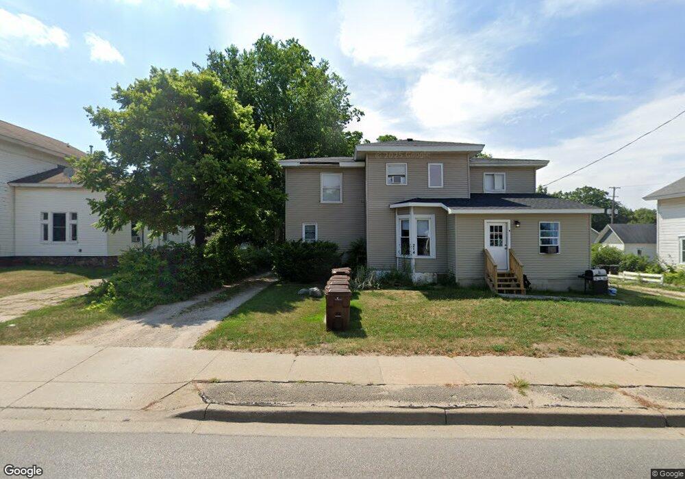
214 S State St Big Rapids, MI 49307
Estimated Value: $226,000 - $299,573
--
Bed
4
Baths
2,954
Sq Ft
$86/Sq Ft
Est. Value
About This Home
This home is located at 214 S State St, Big Rapids, MI 49307 and is currently estimated at $253,143, approximately $85 per square foot. 214 S State St is a home located in Mecosta County with nearby schools including Big Rapids High School, Crossroads Charter Academy Elementary School, and Crossroads Charter Academy Middle/High School.
Ownership History
Date
Name
Owned For
Owner Type
Purchase Details
Closed on
Dec 27, 2017
Sold by
Vansingel Scott A
Bought by
Van Singel Properties Of Grant Llc
Current Estimated Value
Purchase Details
Closed on
Sep 18, 2006
Sold by
Addington James R and Addington Terry L
Bought by
Vandenbrook Ronald
Home Financials for this Owner
Home Financials are based on the most recent Mortgage that was taken out on this home.
Original Mortgage
$92,000
Interest Rate
6.41%
Mortgage Type
Purchase Money Mortgage
Purchase Details
Closed on
Sep 16, 2006
Sold by
Brook Ronald Vanden
Bought by
Vansingel Scott
Home Financials for this Owner
Home Financials are based on the most recent Mortgage that was taken out on this home.
Original Mortgage
$92,000
Interest Rate
6.41%
Mortgage Type
Purchase Money Mortgage
Create a Home Valuation Report for This Property
The Home Valuation Report is an in-depth analysis detailing your home's value as well as a comparison with similar homes in the area
Home Values in the Area
Average Home Value in this Area
Purchase History
| Date | Buyer | Sale Price | Title Company |
|---|---|---|---|
| Van Singel Properties Of Grant Llc | -- | None Available | |
| Vandenbrook Ronald | $52,000 | Lakeland Title | |
| Vansingel Scott | $115,000 | Lakeland Title |
Source: Public Records
Mortgage History
| Date | Status | Borrower | Loan Amount |
|---|---|---|---|
| Previous Owner | Vansingel Scott | $92,000 |
Source: Public Records
Tax History
| Year | Tax Paid | Tax Assessment Tax Assessment Total Assessment is a certain percentage of the fair market value that is determined by local assessors to be the total taxable value of land and additions on the property. | Land | Improvement |
|---|---|---|---|---|
| 2025 | $2,688 | $120,000 | $0 | $0 |
| 2024 | -- | $111,400 | $0 | $0 |
| 2023 | -- | $96,100 | $0 | $0 |
| 2022 | $2,578 | $83,900 | $0 | $0 |
Source: Public Records
Map
Nearby Homes
- 218 S State St
- 124 Sanborn Ave
- 126 Sanborn Ave
- 110 Sanborn Ave
- 122 Linden St
- 213 S State St
- 115 Sanborn Ave
- 117 Sanborn Ave
- 109 Sanborn Ave
- 121 Sanborn Ave
- 125 Sanborn Ave
- 206 S State St
- 119 Linden St
- 115 Linden St
- 115 Rust Ave
- 121 Rust Ave
- 127 Rust Ave
- 324 S State St
- 216 Sanborn Ave
- 208 Sanborn Ave
Your Personal Tour Guide
Ask me questions while you tour the home.