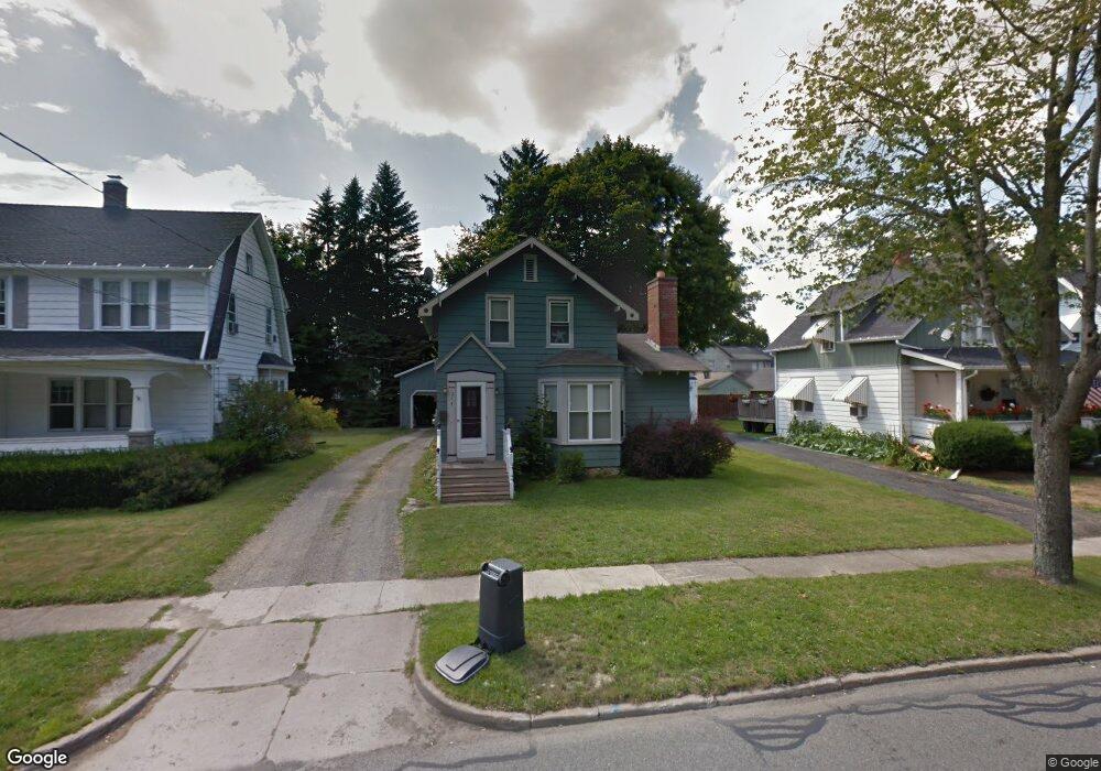
214 Sampson St Jamestown, NY 14701
Estimated Value: $58,000 - $114,000
2
Beds
1
Bath
1,122
Sq Ft
$75/Sq Ft
Est. Value
About This Home
This home is located at 214 Sampson St, Jamestown, NY 14701 and is currently estimated at $83,985, approximately $74 per square foot. 214 Sampson St is a home located in Chautauqua County with nearby schools including Jamestown High School, Catholic Academy of The Holy Family, and Jamestown SDA School.
Ownership History
Date
Name
Owned For
Owner Type
Purchase Details
Closed on
Mar 26, 2018
Sold by
Gullotti Carl and Gullotti Maria C
Bought by
Foulk Kasie
Current Estimated Value
Purchase Details
Closed on
Feb 10, 2010
Sold by
Sec Of Housing & Urb Dev
Bought by
Gullotti Carl
Purchase Details
Closed on
Sep 30, 2009
Sold by
Hsbc Mtg Corp
Bought by
Sec Of Housing & Urb Dev
Purchase Details
Closed on
Jul 22, 2009
Sold by
Seekins Danielle
Bought by
Hsbc Mtg Corp
Purchase Details
Closed on
Mar 29, 2004
Sold by
Pike Amy C
Bought by
Seekins Danielle
Purchase Details
Closed on
Oct 19, 1999
Sold by
Peterson Jayne M
Bought by
Pike Joshua L
Create a Home Valuation Report for This Property
The Home Valuation Report is an in-depth analysis detailing your home's value as well as a comparison with similar homes in the area
Home Values in the Area
Average Home Value in this Area
Purchase History
| Date | Buyer | Sale Price | Title Company |
|---|---|---|---|
| Foulk Kasie | $72,000 | -- | |
| Gullotti Carl | $21,500 | Kevin Sirwatka | |
| Sec Of Housing & Urb Dev | -- | Stephen Baum | |
| Hsbc Mtg Corp | $64,563 | Steven Baum | |
| Seekins Danielle | $47,000 | Neil Robinson | |
| Pike Joshua L | $29,000 | Philip A Cala |
Source: Public Records
Tax History Compared to Growth
Tax History
| Year | Tax Paid | Tax Assessment Tax Assessment Total Assessment is a certain percentage of the fair market value that is determined by local assessors to be the total taxable value of land and additions on the property. | Land | Improvement |
|---|---|---|---|---|
| 2024 | $1,569 | $30,000 | $3,900 | $26,100 |
| 2023 | $1,565 | $30,000 | $3,900 | $26,100 |
| 2022 | $1,558 | $30,000 | $3,900 | $26,100 |
| 2021 | $1,561 | $30,000 | $3,900 | $26,100 |
| 2020 | $1,559 | $30,000 | $3,900 | $26,100 |
| 2019 | $995 | $30,000 | $3,900 | $26,100 |
| 2018 | $1,578 | $30,000 | $3,900 | $26,100 |
| 2017 | $1,599 | $30,000 | $3,900 | $26,100 |
| 2016 | $1,556 | $30,000 | $3,900 | $26,100 |
| 2015 | -- | $30,000 | $3,900 | $26,100 |
| 2014 | -- | $30,000 | $3,900 | $26,100 |
Source: Public Records
Map
Nearby Homes
- 24 Raymond St
- 194 Hazeltine Ave
- 146 Sampson St
- 440 Superior St
- 306 Charles St
- 402 Chautauqua Ave
- 64 Chambers St
- 35 Arden Pkwy
- 126 Crown St
- 80 Chambers St
- 232 Delaware Ave
- 105 Charles St
- 43 Sampson St
- 341-343 Forest Ave
- 205 Barrett Ave
- 47 Charles St
- 125 Superior St
- 168 Barrett Ave
- 310 Forest Ave
- 9 Stearns Ave