214 Solid Rock Ln Lansing, NC 28643
Estimated Value: $327,000 - $411,000
Studio
--
Bath
2,152
Sq Ft
$168/Sq Ft
Est. Value
About This Home
This home is located at 214 Solid Rock Ln, Lansing, NC 28643 and is currently estimated at $361,003, approximately $167 per square foot. 214 Solid Rock Ln is a home with nearby schools including Ashe County High School.
Ownership History
Date
Name
Owned For
Owner Type
Purchase Details
Closed on
Sep 14, 2006
Sold by
Blevins Roten Evan Gray and Blevins Roten Rachel
Bought by
Farmer Johnny D and Farmer Rachel N
Current Estimated Value
Home Financials for this Owner
Home Financials are based on the most recent Mortgage that was taken out on this home.
Original Mortgage
$130,000
Outstanding Balance
$77,686
Interest Rate
6.58%
Mortgage Type
New Conventional
Estimated Equity
$283,317
Create a Home Valuation Report for This Property
The Home Valuation Report is an in-depth analysis detailing your home's value as well as a comparison with similar homes in the area
Home Values in the Area
Average Home Value in this Area
Purchase History
| Date | Buyer | Sale Price | Title Company |
|---|---|---|---|
| Farmer Johnny D | $163,000 | -- |
Source: Public Records
Mortgage History
| Date | Status | Borrower | Loan Amount |
|---|---|---|---|
| Open | Farmer Johnny D | $130,000 |
Source: Public Records
Tax History
| Year | Tax Paid | Tax Assessment Tax Assessment Total Assessment is a certain percentage of the fair market value that is determined by local assessors to be the total taxable value of land and additions on the property. | Land | Improvement |
|---|---|---|---|---|
| 2025 | $1,565 | $298,600 | $28,600 | $270,000 |
| 2024 | $1,505 | $298,600 | $28,600 | $270,000 |
| 2023 | $1,505 | $298,600 | $28,600 | $270,000 |
| 2022 | $1,183 | $181,300 | $20,400 | $160,900 |
| 2021 | $1,183 | $181,300 | $20,400 | $160,900 |
| 2020 | $1,062 | $181,300 | $20,400 | $160,900 |
| 2019 | $1,041 | $181,300 | $20,400 | $160,900 |
| 2018 | $958 | $168,500 | $20,400 | $148,100 |
| 2016 | $927 | $168,500 | $20,400 | $148,100 |
Source: Public Records
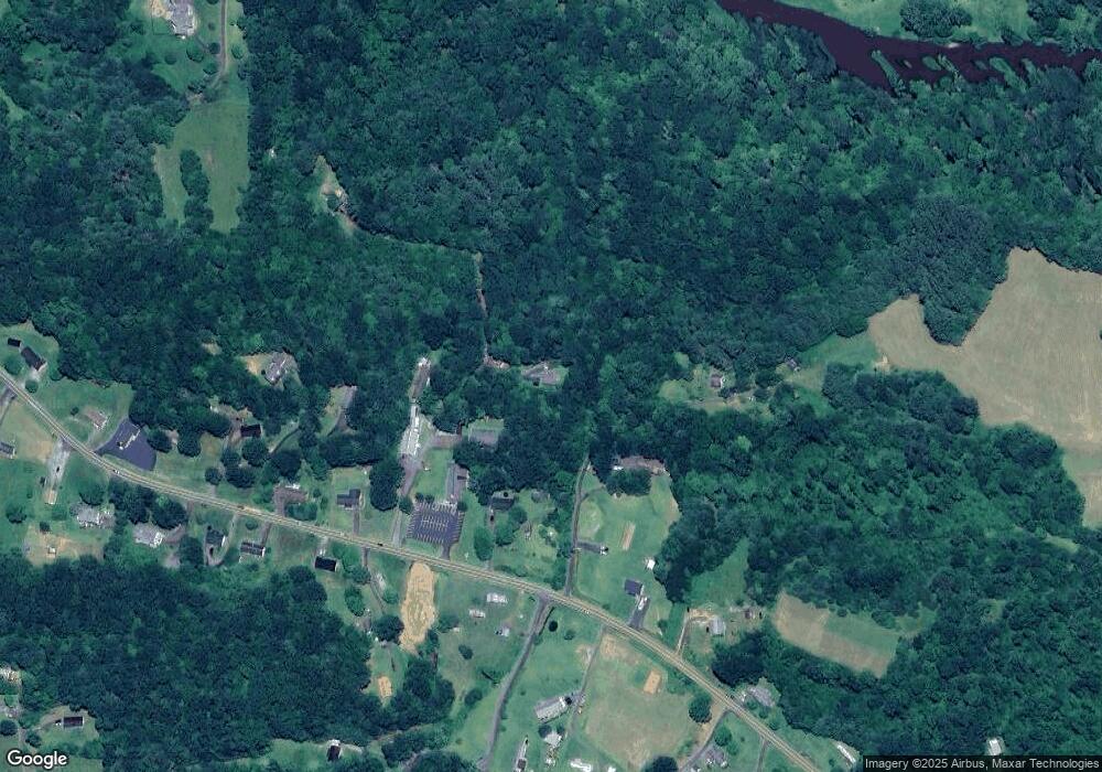
Map
Nearby Homes
- 424 McKinley Ridge Rd
- 223 Poplar Ln
- Lot 3 N Fork New River Rd
- 581 N Fork New River Rd
- TBD (Lot 12) Mahogany Ct
- TBD (Lot 11) Mahogany Ct
- TBD (Lot 14) W Mahogany Ct
- TBD (Lot 13) W Mahogany Ct
- 4 Venue Views Dr
- Lot 3 Venue Views Dr
- 41 Riverwind Dr
- 385 Bent River Dr
- 3303 Old Highway 16
- 38 Turkey Ridge
- TBD Jake Blackburn Rd
- TBD Sonterra Dr
- Tbd Woodland Ridge
- TBD Ridge
- 710 River Hills Rd
- TBD (Lot 8) Woodland Ridge
- 193 Solid Rock Ln
- 996 Deep Ford Rd
- 958 Deep Ford Rd
- 1166 Deep Ford Rd
- 924 Deep Ford Rd
- 995 Deep Ford Rd
- 1082 Deep Ford Rd
- 1164 Deep Ford Rd
- 1118 Deep Ford Rd
- 277 Solid Rock Ln
- 1091 Deep Ford Rd
- 892 Deep Ford Rd
- 1073 Deep Ford Rd
- 907 Deep Ford Rd
- 1133 Deep Ford Rd
- 193 Woodland Trail
- 1151 Deep Ford Rd
- 836 Deep Ford Rd
- 909 Deep Ford Rd
- 131 Phoenix View Cir
Your Personal Tour Guide
Ask me questions while you tour the home.