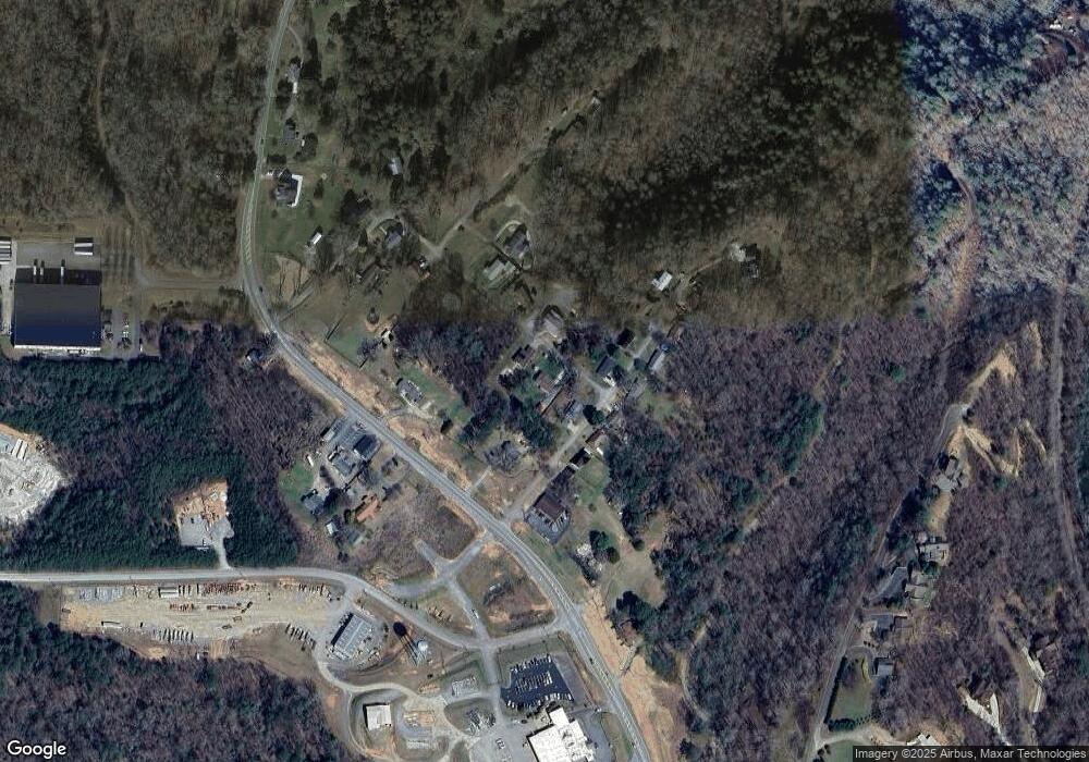
214 Spring Hill Cir Blue Ridge, GA 30513
Estimated Value: $279,000 - $396,000
--
Bed
2
Baths
1,194
Sq Ft
$289/Sq Ft
Est. Value
About This Home
This home is located at 214 Spring Hill Cir, Blue Ridge, GA 30513 and is currently estimated at $345,645, approximately $289 per square foot. 214 Spring Hill Cir is a home located in Fannin County with nearby schools including Fannin County High School.
Ownership History
Date
Name
Owned For
Owner Type
Purchase Details
Closed on
Feb 3, 2006
Sold by
Buchanan Judy Davis
Bought by
Sands Michael R and Sands Sharon R
Current Estimated Value
Home Financials for this Owner
Home Financials are based on the most recent Mortgage that was taken out on this home.
Original Mortgage
$43,000
Interest Rate
6.14%
Mortgage Type
New Conventional
Purchase Details
Closed on
Nov 27, 2001
Sold by
Davis William Ernest
Bought by
Davis Billy and Davis Bobby
Purchase Details
Closed on
Apr 28, 2000
Sold by
Huffman Paulina
Bought by
Davis William Ernest
Purchase Details
Closed on
Mar 9, 2000
Sold by
Patterson Lois B
Bought by
Huffman Pauline
Purchase Details
Closed on
Nov 28, 1995
Sold by
Patterson Lois B
Bought by
Patterson Lois B
Purchase Details
Closed on
Jan 16, 1986
Bought by
Patterson Lois B
Create a Home Valuation Report for This Property
The Home Valuation Report is an in-depth analysis detailing your home's value as well as a comparison with similar homes in the area
Home Values in the Area
Average Home Value in this Area
Purchase History
| Date | Buyer | Sale Price | Title Company |
|---|---|---|---|
| Sands Michael R | $110,000 | -- | |
| Davis Billy | -- | -- | |
| Davis William Ernest | -- | -- | |
| Huffman Pauline | $78,000 | -- | |
| Patterson Lois B | -- | -- | |
| Patterson Lois B | -- | -- |
Source: Public Records
Mortgage History
| Date | Status | Borrower | Loan Amount |
|---|---|---|---|
| Closed | Sands Michael R | $43,000 |
Source: Public Records
Tax History Compared to Growth
Tax History
| Year | Tax Paid | Tax Assessment Tax Assessment Total Assessment is a certain percentage of the fair market value that is determined by local assessors to be the total taxable value of land and additions on the property. | Land | Improvement |
|---|---|---|---|---|
| 2024 | $784 | $106,092 | $4,689 | $101,403 |
| 2023 | $733 | $87,399 | $4,689 | $82,710 |
| 2022 | $742 | $88,527 | $4,689 | $83,838 |
| 2021 | $675 | $54,665 | $4,689 | $49,976 |
| 2020 | $687 | $54,665 | $4,689 | $49,976 |
| 2019 | $700 | $54,665 | $4,689 | $49,976 |
| 2018 | $716 | $52,322 | $2,346 | $49,976 |
| 2017 | $943 | $53,318 | $2,346 | $50,972 |
| 2016 | $531 | $33,626 | $2,346 | $31,280 |
| 2015 | $552 | $33,424 | $2,346 | $31,078 |
| 2014 | $601 | $37,377 | $2,741 | $34,636 |
| 2013 | -- | $28,698 | $2,740 | $25,958 |
Source: Public Records
Map
Nearby Homes
- 7 Old Flowers Rd
- 2465 Blue Ridge Dr
- 1535 Blue Ridge Dr
- 340 La Vista Dr
- 340 Lavista Dr
- 4 Shalom Ln
- 737 Wildwood Trail
- 380 La Vista Dr
- 380 Lavista Dr
- 406 Hope Dr
- 236 Washington Wilson Loop
- Lot 3 Grand Vista Dr
- LOT 41 Tomahawk Ln Unit 41
- LOT 41 Tomahawk Ln
- 456 Lavista Dr
- 51 Ocoee Trail
- 0 Lower Toccoa Hills Rd Unit 10557000
- 0 Lower Toccoa Hills Rd Unit 7609254
- 749 Hillcrest Dr
