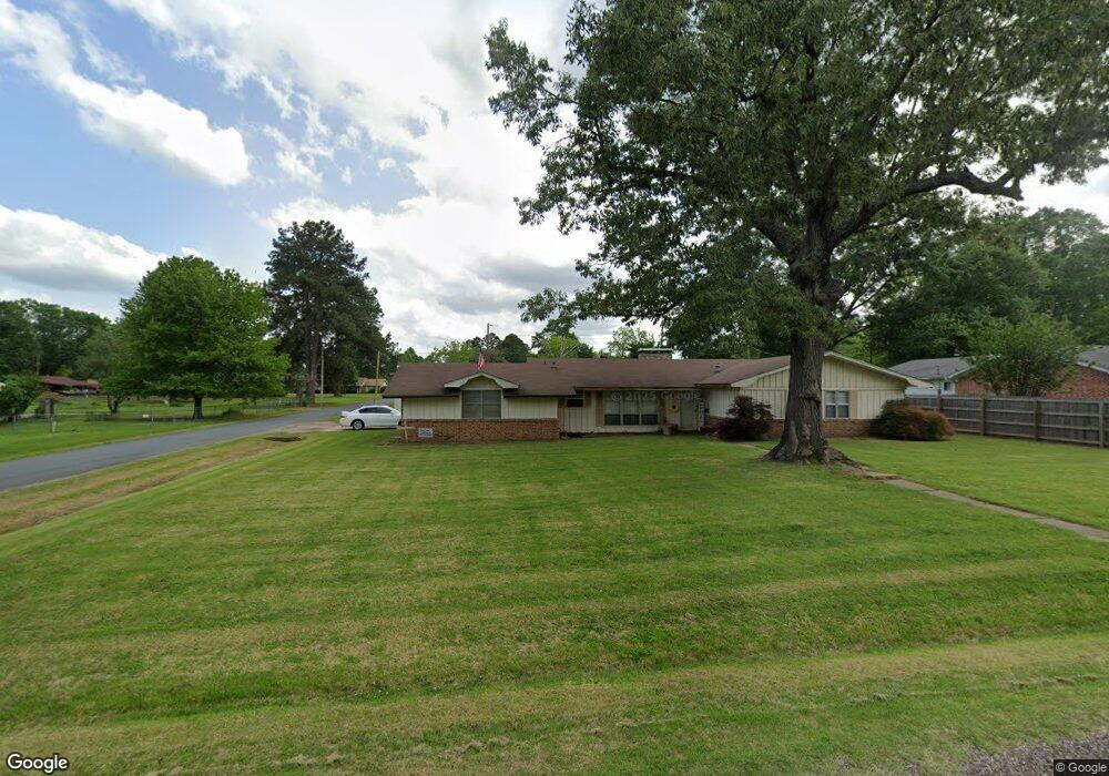
214 Starlite Dr Texarkana, TX 75501
Estimated Value: $199,000 - $267,000
--
Bed
--
Bath
1,794
Sq Ft
$127/Sq Ft
Est. Value
About This Home
This home is located at 214 Starlite Dr, Texarkana, TX 75501 and is currently estimated at $228,631, approximately $127 per square foot. 214 Starlite Dr is a home located in Bowie County with nearby schools including Liberty-Eylau Early Childhood Center, Liberty-Eylau Primary School, and Liberty-Eylau C.K. Bender Elementary Campus.
Ownership History
Date
Name
Owned For
Owner Type
Purchase Details
Closed on
Sep 25, 2007
Sold by
Osborne Cecil M and Osborne Juanita B
Bought by
Moguire Tony
Current Estimated Value
Home Financials for this Owner
Home Financials are based on the most recent Mortgage that was taken out on this home.
Original Mortgage
$119,750
Outstanding Balance
$75,467
Interest Rate
6.48%
Mortgage Type
New Conventional
Estimated Equity
$153,164
Create a Home Valuation Report for This Property
The Home Valuation Report is an in-depth analysis detailing your home's value as well as a comparison with similar homes in the area
Home Values in the Area
Average Home Value in this Area
Purchase History
| Date | Buyer | Sale Price | Title Company |
|---|---|---|---|
| Moguire Tony | -- | None Available |
Source: Public Records
Mortgage History
| Date | Status | Borrower | Loan Amount |
|---|---|---|---|
| Open | Moguire Tony | $119,750 |
Source: Public Records
Tax History Compared to Growth
Tax History
| Year | Tax Paid | Tax Assessment Tax Assessment Total Assessment is a certain percentage of the fair market value that is determined by local assessors to be the total taxable value of land and additions on the property. | Land | Improvement |
|---|---|---|---|---|
| 2025 | $1,616 | $201,968 | -- | -- |
| 2024 | $1,616 | $183,607 | $15,500 | $168,107 |
| 2023 | $2,572 | $172,144 | $15,500 | $156,644 |
| 2022 | $2,701 | $156,772 | $15,500 | $141,272 |
| 2021 | $2,300 | $125,555 | $14,500 | $111,055 |
| 2020 | $2,229 | $120,761 | $14,500 | $106,261 |
| 2019 | $2,257 | $116,190 | $14,500 | $101,690 |
| 2018 | $2,189 | $112,688 | $14,500 | $98,188 |
| 2017 | $2,176 | $112,428 | $14,500 | $97,928 |
| 2016 | $2,176 | $112,428 | $14,500 | $97,928 |
| 2015 | $2,070 | $111,579 | $14,500 | $97,079 |
| 2014 | $2,070 | $110,685 | $14,500 | $96,185 |
Source: Public Records
Map
Nearby Homes
- 403 Brookfield St
- 101 Redwood Dr
- 2043 Randall Rd
- 6514 Buchanan Loop Rd
- 6 Southridge St
- 194 W Starlite Dr
- 144 Joe Tyl Rd
- 280 Patriot Way
- 0 Randall Rd
- 6815 Buchanan Loop Rd
- 6606 Us-59
- 6606 Us Highway 59 S
- lot15 B2 Quail Brook
- lot15 B1 Quail Brook
- lot14 B2 Quail Brook
- Lot 1 B2 Quail Brook
- 7689 Us-59
- 39 Quail Brook Dr
- 7685 State Highway 59
- 206 Fm 3244
- 212 Starlite Dr
- 302 Starlite Dr
- 304 Starlite Dr
- 210 Starlite Dr
- 127 Fairway St
- 213 Starlite Dr
- 125 Fairway St
- 215 Starlite Dr
- 208 Starlite Dr
- 211 Starlite Dr
- 123 Fairway St
- 404 Brookfield St
- 306 Brookfield St
- 101 Alpine Dr
- 209 Starlite Dr
- 206 Starlite Dr
- 401 Brookfield St
- 205 Fairway St
- 109 Fairway St
- 408 Brookfield St