214 Stow Rd Harvard, MA 01451
Estimated Value: $866,960 - $1,239,000
3
Beds
3
Baths
2,654
Sq Ft
$381/Sq Ft
Est. Value
About This Home
This home is located at 214 Stow Rd, Harvard, MA 01451 and is currently estimated at $1,010,240, approximately $380 per square foot. 214 Stow Rd is a home located in Worcester County.
Ownership History
Date
Name
Owned For
Owner Type
Purchase Details
Closed on
May 14, 2020
Sold by
Normand Jacqueline A
Bought by
Normand Ft
Current Estimated Value
Purchase Details
Closed on
Jan 16, 1987
Sold by
Dewey John W
Bought by
Normand V R
Create a Home Valuation Report for This Property
The Home Valuation Report is an in-depth analysis detailing your home's value as well as a comparison with similar homes in the area
Home Values in the Area
Average Home Value in this Area
Purchase History
| Date | Buyer | Sale Price | Title Company |
|---|---|---|---|
| Normand Ft | -- | None Available | |
| Normand V R | $300,000 | -- |
Source: Public Records
Mortgage History
| Date | Status | Borrower | Loan Amount |
|---|---|---|---|
| Previous Owner | Normand V R | $210,000 | |
| Previous Owner | Normand V R | $73,000 |
Source: Public Records
Tax History Compared to Growth
Tax History
| Year | Tax Paid | Tax Assessment Tax Assessment Total Assessment is a certain percentage of the fair market value that is determined by local assessors to be the total taxable value of land and additions on the property. | Land | Improvement |
|---|---|---|---|---|
| 2025 | $11,504 | $735,100 | $229,600 | $505,500 |
| 2024 | $10,953 | $735,100 | $229,600 | $505,500 |
| 2023 | $11,087 | $667,500 | $220,100 | $447,400 |
| 2022 | $10,513 | $587,000 | $236,200 | $350,800 |
| 2021 | $10,250 | $545,800 | $236,200 | $309,600 |
| 2020 | $9,697 | $525,000 | $236,200 | $288,800 |
| 2019 | $9,252 | $531,100 | $236,200 | $294,900 |
| 2018 | $9,115 | $531,500 | $236,200 | $295,300 |
| 2017 | $8,456 | $467,200 | $196,200 | $271,000 |
| 2016 | $8,460 | $468,700 | $196,200 | $272,500 |
| 2015 | $8,087 | $454,600 | $192,200 | $262,400 |
| 2014 | $7,769 | $454,600 | $192,200 | $262,400 |
Source: Public Records
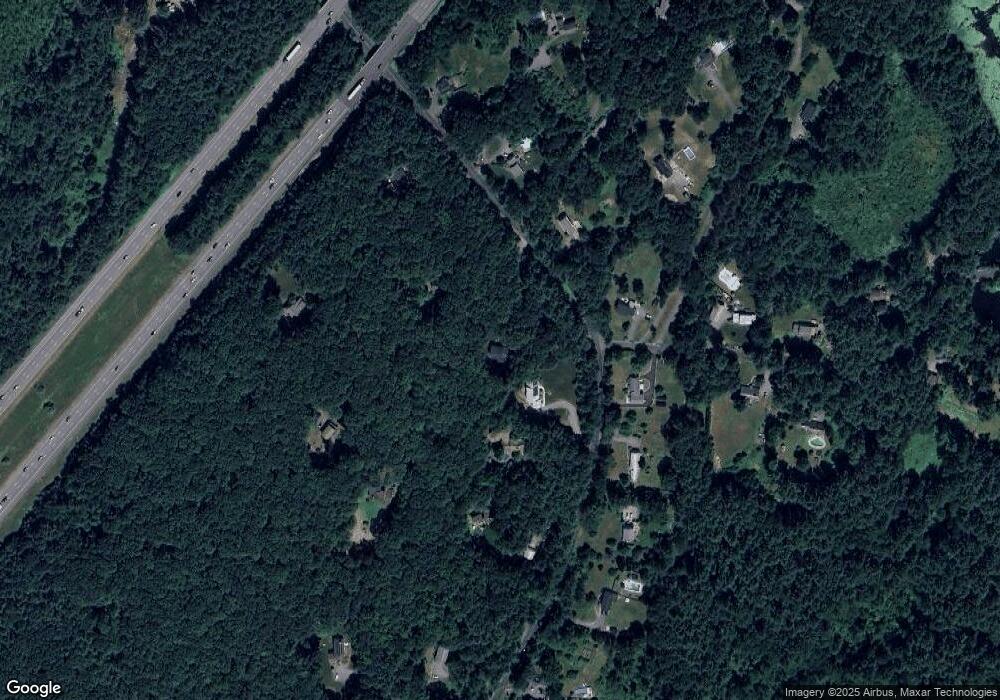
Map
Nearby Homes
- 13 Pine Hill Way
- 14 Pine Hill Way
- 16 A Pine Hill Way Unit 16AA
- 18 B Pine Hill Way Unit BB
- 310 Codman Hill Rd Unit 35D
- 19 Partridge Hill Rd
- 90 Corn Rd
- 1155 Burroughs Rd
- 19 Barton Rd
- 176 Swanson Rd Unit 309
- 53 Swanson Ct Unit 36C
- 220 Swanson Rd Unit 605
- 220 Swanson Rd Unit 606
- 220 Swanson Rd Unit 604
- 42 Swanson Ct Unit 14A
- 21 Woodside Rd
- 58 Spencer Rd Unit 18K
- 50 Spencer Rd Unit 36
- 184 Old Bolton Rd
- 76 Bolton Woods Way