214 Tallulah Trail Warner Robins, GA 31088
Estimated Value: $100,000 - $113,207
2
Beds
1
Bath
900
Sq Ft
$118/Sq Ft
Est. Value
About This Home
This home is located at 214 Tallulah Trail, Warner Robins, GA 31088 and is currently estimated at $106,052, approximately $117 per square foot. 214 Tallulah Trail is a home located in Houston County with nearby schools including Russell Elementary School, Huntington Middle School, and Warner Robins High School.
Ownership History
Date
Name
Owned For
Owner Type
Purchase Details
Closed on
Aug 1, 2007
Sold by
Corzine Robert J and Corzine Margaret A
Bought by
Copper Wire Realty Llc
Current Estimated Value
Purchase Details
Closed on
Dec 9, 1999
Sold by
Tinney James C and Tinney Rita L
Bought by
Corzine Robert J and Margaret A*
Purchase Details
Closed on
Dec 22, 1998
Sold by
Starnes Lamoye and Starnes Barbara
Bought by
Tinney James C and Tinney Rita L
Purchase Details
Closed on
Jul 16, 1986
Bought by
Starnes Lamoye and Starnes Barbara
Create a Home Valuation Report for This Property
The Home Valuation Report is an in-depth analysis detailing your home's value as well as a comparison with similar homes in the area
Home Values in the Area
Average Home Value in this Area
Purchase History
| Date | Buyer | Sale Price | Title Company |
|---|---|---|---|
| Copper Wire Realty Llc | $47,500 | None Available | |
| Corzine Robert J | $43,000 | -- | |
| Tinney James C | -- | -- | |
| Starnes Lamoye | $36,000 | -- |
Source: Public Records
Tax History Compared to Growth
Tax History
| Year | Tax Paid | Tax Assessment Tax Assessment Total Assessment is a certain percentage of the fair market value that is determined by local assessors to be the total taxable value of land and additions on the property. | Land | Improvement |
|---|---|---|---|---|
| 2024 | $1,012 | $30,920 | $2,400 | $28,520 |
| 2023 | $852 | $25,840 | $2,400 | $23,440 |
| 2022 | $508 | $22,080 | $2,400 | $19,680 |
| 2021 | $355 | $15,360 | $2,400 | $12,960 |
| 2020 | $347 | $14,920 | $2,400 | $12,520 |
| 2019 | $347 | $14,920 | $2,400 | $12,520 |
| 2018 | $347 | $14,920 | $2,400 | $12,520 |
| 2017 | $347 | $14,920 | $2,400 | $12,520 |
| 2016 | $347 | $14,920 | $2,400 | $12,520 |
| 2015 | -- | $14,920 | $2,400 | $12,520 |
| 2014 | -- | $14,920 | $2,400 | $12,520 |
| 2013 | -- | $17,680 | $2,400 | $15,280 |
Source: Public Records
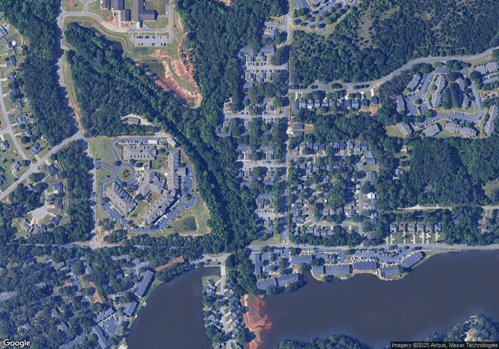
Map
Nearby Homes
- 236 Tallulah Trail
- 230 Tallulah Trail
- 122 Tallulah Trail
- 266 Southland Station Dr
- 102 Tallulah Trail
- 105 Ridge Pointe Ct
- 254 Southland Station Dr
- 116 Lake Pointe Dr
- 116 Woodfield Dr
- 303 Leisure Lake Dr
- 104 Crossing Place
- 104 Breeze Point Trail
- 108 Pheasant Cove
- 202 Lake Front Dr
- 101 Leisure Lake Ct
- 103 Leisure Lake Ct
- 105 Leisure Lake Ct
- 216 Tallulah Trail
- 220 Tallulah Trail
- 210 Tallulah Trail
- 212 Tallulah Trail
- 224 Tallulah Trail
- 222 Tallulah Trail
- 208 Tallulah Trail
- 242 Tallulah Trail
- 206 Tallulah Trail
- 254 Tallulah Trail
- 200 Tallulah Trail
- 204 Tallulah Trail
- 244 Tallulah Trail
- 202 Tallulah Trail
- 238 Tallulah Trail
- 252 Tallulah Trail
- 120 Tallulah Trail
- 228 Tallulah Trail
- 124 Tallulah Trail
- 246 Tallulah Trail