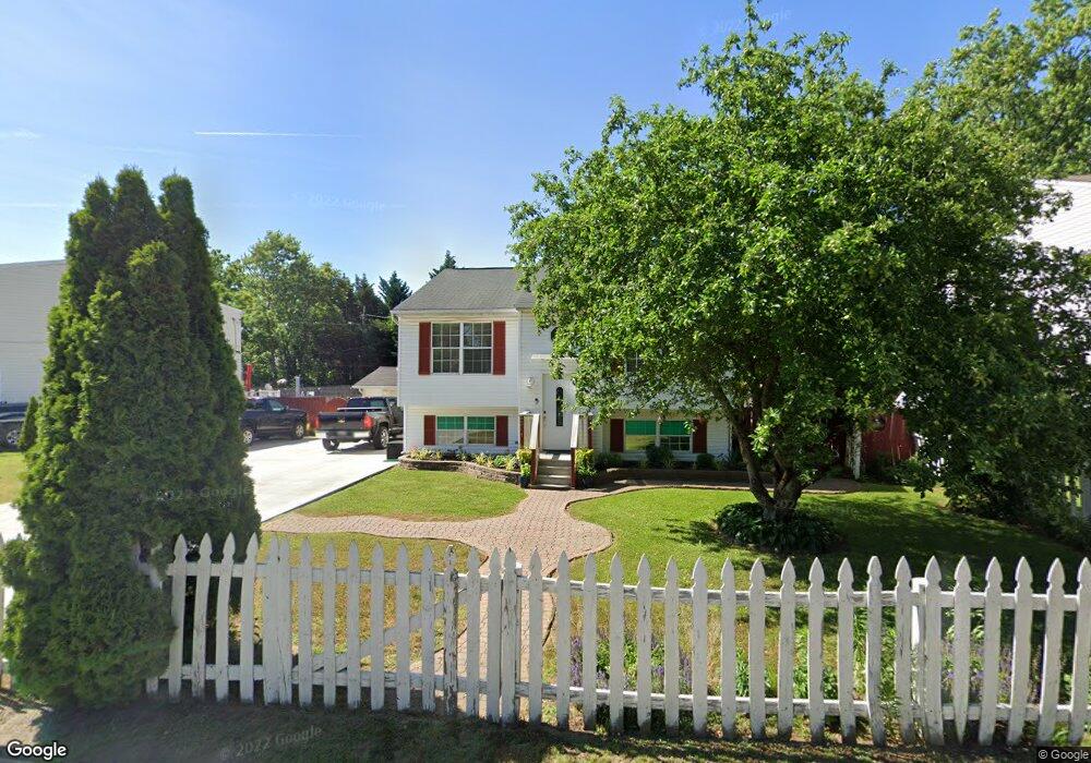
214 Townsend Ave Brooklyn, MD 21225
Estimated Value: $327,000 - $344,314
Studio
2
Baths
1,032
Sq Ft
$322/Sq Ft
Est. Value
About This Home
This home is located at 214 Townsend Ave, Brooklyn, MD 21225 and is currently estimated at $332,579, approximately $322 per square foot. 214 Townsend Ave is a home located in Anne Arundel County with nearby schools including Park Elementary School, Brooklyn Park Middle School, and North County High School.
Ownership History
Date
Name
Owned For
Owner Type
Purchase Details
Closed on
Dec 24, 1996
Sold by
Anchor Homesinc
Bought by
Deleon Jona V
Current Estimated Value
Purchase Details
Closed on
May 10, 1991
Sold by
Korycki Genevieve M
Bought by
Thomas Donald J
Home Financials for this Owner
Home Financials are based on the most recent Mortgage that was taken out on this home.
Original Mortgage
$18,000
Interest Rate
9.47%
Create a Home Valuation Report for This Property
The Home Valuation Report is an in-depth analysis detailing your home's value as well as a comparison with similar homes in the area
Home Values in the Area
Average Home Value in this Area
Purchase History
| Date | Buyer | Sale Price | Title Company |
|---|---|---|---|
| Deleon Jona V | $104,900 | -- | |
| Thomas Donald J | $22,500 | -- |
Source: Public Records
Mortgage History
| Date | Status | Borrower | Loan Amount |
|---|---|---|---|
| Previous Owner | Thomas Donald J | $18,000 | |
| Closed | Deleon Jona V | -- |
Source: Public Records
Tax History
| Year | Tax Paid | Tax Assessment Tax Assessment Total Assessment is a certain percentage of the fair market value that is determined by local assessors to be the total taxable value of land and additions on the property. | Land | Improvement |
|---|---|---|---|---|
| 2025 | $3,602 | $315,200 | $109,400 | $205,800 |
| 2024 | $3,602 | $283,067 | $0 | $0 |
| 2023 | $3,214 | $250,933 | $0 | $0 |
| 2022 | $2,717 | $218,800 | $95,300 | $123,500 |
| 2020 | $2,670 | $218,200 | $0 | $0 |
| 2019 | $2,669 | $217,900 | $92,600 | $125,300 |
| 2018 | $2,123 | $209,333 | $0 | $0 |
| 2017 | $2,429 | $200,767 | $0 | $0 |
| 2016 | -- | $192,200 | $0 | $0 |
| 2015 | -- | $189,567 | $0 | $0 |
| 2014 | -- | $186,933 | $0 | $0 |
Source: Public Records
Map
Nearby Homes
- 210 Townsend Ave
- 216 Townsend Ave
- 206 Townsend Ave
- 901 Victory Ave
- 218 Townsend Ave
- 204 Townsend Ave
- 207 Doris Ave
- 903 Victory Ave
- 220 Townsend Ave
- 209 Doris Ave
- 215 Townsend Ave
- 907 Victory Ave
- 907 Victory Ave Unit 2
- 907 Victory Ave
- 202 Townsend Ave
- 900 Victory Ave
- 203 Doris Ave
- 211 Doris Ave
- 902 Victory Ave
- 909 Victory Ave
Your Personal Tour Guide
Ask me questions while you tour the home.