Estimated Value: $452,000 - $620,000
3
Beds
2
Baths
1,288
Sq Ft
$413/Sq Ft
Est. Value
About This Home
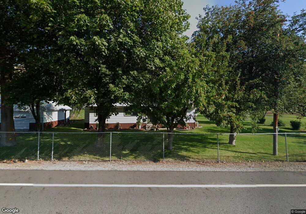
This home is located at 214 Twisp River Rd, Twisp, WA 98856 and is currently estimated at $532,269, approximately $413 per square foot. 214 Twisp River Rd is a home located in Okanogan County with nearby schools including Methow Valley Elementary School, Liberty Bell Junior/Senior High School, and Methow Valley Independent Learning Center.
Ownership History
Date
Name
Owned For
Owner Type
Purchase Details
Closed on
Oct 5, 2018
Sold by
Franklin Jay D and Franklin Rachel L
Bought by
Stanley Daniel and Stanley Jackie
Current Estimated Value
Home Financials for this Owner
Home Financials are based on the most recent Mortgage that was taken out on this home.
Original Mortgage
$150,000
Outstanding Balance
$130,809
Interest Rate
4.5%
Mortgage Type
New Conventional
Estimated Equity
$401,460
Purchase Details
Closed on
Apr 19, 2007
Sold by
Mchugo Douglas and Mchugo Michele
Bought by
Franklin Jay D and Franklin Rachel L
Home Financials for this Owner
Home Financials are based on the most recent Mortgage that was taken out on this home.
Original Mortgage
$172,000
Interest Rate
6.1%
Mortgage Type
New Conventional
Create a Home Valuation Report for This Property
The Home Valuation Report is an in-depth analysis detailing your home's value as well as a comparison with similar homes in the area
Purchase History
| Date | Buyer | Sale Price | Title Company |
|---|---|---|---|
| Stanley Daniel | $200,000 | Inland Professional Title Ll | |
| Franklin Jay D | $215,000 | Transnation Title Ins Co |
Source: Public Records
Mortgage History
| Date | Status | Borrower | Loan Amount |
|---|---|---|---|
| Open | Stanley Daniel | $150,000 | |
| Previous Owner | Franklin Jay D | $172,000 |
Source: Public Records
Tax History
| Year | Tax Paid | Tax Assessment Tax Assessment Total Assessment is a certain percentage of the fair market value that is determined by local assessors to be the total taxable value of land and additions on the property. | Land | Improvement |
|---|---|---|---|---|
| 2025 | $3,278 | $443,800 | $130,900 | $312,900 |
| 2024 | $3,278 | $411,400 | $130,900 | $280,500 |
| 2023 | $2,994 | $346,700 | $130,900 | $215,800 |
| 2022 | $2,699 | $248,600 | $74,900 | $173,700 |
| 2021 | $2,873 | $248,600 | $74,900 | $173,700 |
| 2020 | $2,379 | $248,600 | $74,900 | $173,700 |
| 2019 | $2,267 | $208,500 | $74,900 | $133,600 |
| 2018 | $2,370 | $208,500 | $74,900 | $133,600 |
| 2017 | $2,154 | $208,500 | $74,900 | $133,600 |
| 2016 | $1,855 | $181,600 | $74,900 | $106,700 |
| 2015 | $1,949 | $206,500 | $99,800 | $106,700 |
| 2013 | -- | $206,500 | $99,800 | $106,700 |
Source: Public Records
Map
Nearby Homes
- 115 Johnson St N Unit 1,2,3
- 140 Twisp Ave W Unit 204
- 136 Johnson St
- 318 Lombard St
- 805 Marble St
- 0 Lot 2 Amended Surface Short Plat
- 1110 Riverside Ave
- 1221 Riverside Ave
- 7 Howerton Rd
- 143 Harrier Hill Rd
- 15 Howerton Rd
- 2992 Washington 153
- 5 Chase Rd
- 21 Twin Lakes Dr
- 40 TBD Rabbit House Rd
- 7 Round Rock Ln
- 88 Horizon Flat Rd
- 302 Cascadian Ct Unit 18
- 300 Cascadian Ct Unit 15
- 920 Castle Ave
- 226 Twisp River Rd
- 229 Twisp River Rd
- 213 Twisp River Rd
- 217 Twisp River Rd
- 204 Twisp River Rd
- 245 Twisp River Rd
- 235 Twisp River Rd
- 248 Twisp River Rd
- 185 Twisp River Rd
- 194 Twisp River Rd
- 251 Twisp River Rd
- 84A Poorman Creek Rd
- 250 Twisp River Rd
- 84B Poorman Creek Rd
- 191 Twisp River Rd
- 262 Twisp River Rd
- 0 Poorman Creek Rd
- 0 Poorman Creek Rd Unit NWM1419495
- 0 Poorman Creek Rd Unit NWM1243418
Your Personal Tour Guide
Ask me questions while you tour the home.