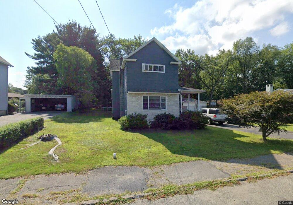
214 Walnut St Moosic, PA 18507
Estimated Value: $125,867 - $231,000
Studio
--
Bath
--
Sq Ft
13,765
Sq Ft Lot
About This Home
This home is located at 214 Walnut St, Moosic, PA 18507 and is currently estimated at $191,467. 214 Walnut St is a home located in Lackawanna County with nearby schools including Riverside Junior/Senior High School, Triboro Christian Academy, and Holy Rosary Elementary School.
Ownership History
Date
Name
Owned For
Owner Type
Purchase Details
Closed on
May 16, 2013
Sold by
Breig Charles John and Mielo Suzanne Marie
Bought by
Mielo Suzanne Marie
Current Estimated Value
Home Financials for this Owner
Home Financials are based on the most recent Mortgage that was taken out on this home.
Original Mortgage
$75,000
Outstanding Balance
$15,642
Interest Rate
2.7%
Mortgage Type
New Conventional
Estimated Equity
$175,825
Purchase Details
Closed on
Dec 21, 2011
Sold by
Breig Bernetta
Bought by
Breig Charles John and Mielo Suzanne Marie
Create a Home Valuation Report for This Property
The Home Valuation Report is an in-depth analysis detailing your home's value as well as a comparison with similar homes in the area
Home Values in the Area
Average Home Value in this Area
Purchase History
| Date | Buyer | Sale Price | Title Company |
|---|---|---|---|
| Mielo Suzanne Marie | $75,000 | None Available | |
| Breig Charles John | -- | None Available |
Source: Public Records
Mortgage History
| Date | Status | Borrower | Loan Amount |
|---|---|---|---|
| Open | Mielo Suzanne Marie | $75,000 |
Source: Public Records
Tax History
| Year | Tax Paid | Tax Assessment Tax Assessment Total Assessment is a certain percentage of the fair market value that is determined by local assessors to be the total taxable value of land and additions on the property. | Land | Improvement |
|---|---|---|---|---|
| 2025 | $1,819 | $7,500 | $0 | $7,500 |
| 2024 | $1,609 | $7,500 | $0 | $7,500 |
| 2023 | $1,609 | $7,500 | $0 | $7,500 |
| 2022 | $1,583 | $7,500 | $0 | $7,500 |
| 2021 | $1,564 | $7,500 | $0 | $7,500 |
| 2020 | $1,532 | $7,500 | $0 | $7,500 |
| 2019 | $1,435 | $7,500 | $0 | $7,500 |
| 2018 | $1,408 | $7,500 | $0 | $7,500 |
| 2017 | $1,381 | $7,500 | $0 | $7,500 |
| 2016 | $854 | $7,500 | $0 | $0 |
| 2015 | -- | $7,500 | $0 | $0 |
| 2014 | -- | $7,500 | $0 | $0 |
Source: Public Records
Map
Nearby Homes
- 107 Stonecrest Dr
- 527 Minooka Ave
- 1309 South St
- 116 Broadhead St
- 127 Broadhead St
- 347 Orchard St
- 113 Taroli St
- 115 Taroli St Unit L20 22
- 828 Glenwood Rd
- 600 Center St
- 134 Taroli St
- 324 Milwaukee Ave
- 254 Hoover St
- 742 Donnelly St
- 0 South St
- 616 Rear Donnelly St
- 616 Donnelly St
- 732 Main St
- 398 N River St
- 1114 Springbrook Ave Unit REAR
- 218 Walnut St
- 210 Walnut St
- 224 Walnut St Unit 226
- 211 Walnut St
- 225 Walnut St
- 228 Walnut St
- 312 Montgomery St
- 227 Walnut St
- 237 Spring St
- 229 Walnut St
- 231 Spring St
- 232 Walnut St
- 305 Spring St
- 315 Montgomery St
- 225 Spring St
- 233 Walnut St Unit L176
- 221 Spring St
- 305 Montgomery St
- 307 Spring St
- 311 Montgomery St
Your Personal Tour Guide
Ask me questions while you tour the home.