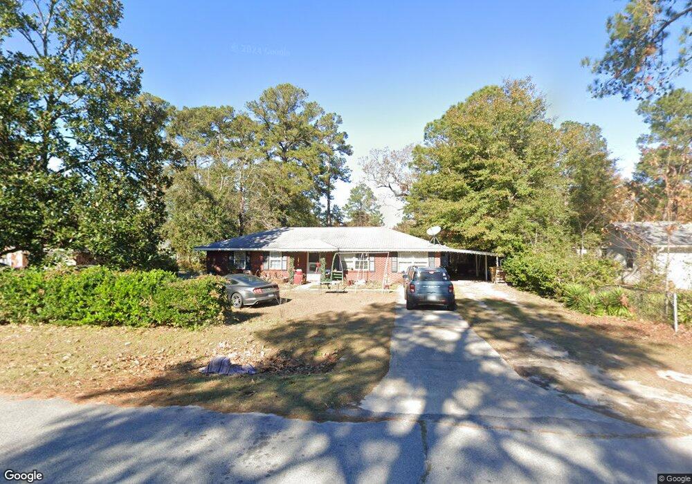
214 Whitehall Ave Rincon, GA 31326
Estimated Value: $273,104 - $294,000
--
Bed
2
Baths
2,002
Sq Ft
$142/Sq Ft
Est. Value
About This Home
This home is located at 214 Whitehall Ave, Rincon, GA 31326 and is currently estimated at $285,026, approximately $142 per square foot. 214 Whitehall Ave is a home located in Effingham County with nearby schools including Blandford Elementary School, Ebenezer Middle School, and South Effingham High School.
Ownership History
Date
Name
Owned For
Owner Type
Purchase Details
Closed on
Oct 7, 2010
Sold by
Lesueur Regis J
Bought by
Lesueur Regis
Current Estimated Value
Purchase Details
Closed on
Apr 30, 2004
Bought by
Lesueur Regis J
Create a Home Valuation Report for This Property
The Home Valuation Report is an in-depth analysis detailing your home's value as well as a comparison with similar homes in the area
Home Values in the Area
Average Home Value in this Area
Purchase History
| Date | Buyer | Sale Price | Title Company |
|---|---|---|---|
| Lesueur Regis | $152,700 | -- | |
| Lesueur Regis | $152,717 | -- | |
| Lesueur Regis J | $125,000 | -- |
Source: Public Records
Tax History Compared to Growth
Tax History
| Year | Tax Paid | Tax Assessment Tax Assessment Total Assessment is a certain percentage of the fair market value that is determined by local assessors to be the total taxable value of land and additions on the property. | Land | Improvement |
|---|---|---|---|---|
| 2024 | $2,545 | $82,189 | $22,800 | $59,389 |
| 2023 | $1,702 | $77,454 | $18,800 | $58,654 |
| 2022 | $2,030 | $61,033 | $14,000 | $47,033 |
| 2021 | $1,970 | $59,071 | $14,000 | $45,071 |
| 2020 | $1,905 | $57,817 | $12,000 | $45,817 |
| 2019 | $1,756 | $52,406 | $10,000 | $42,406 |
| 2018 | $1,736 | $51,196 | $10,000 | $41,196 |
| 2017 | $1,695 | $49,494 | $9,560 | $39,934 |
| 2016 | $1,540 | $46,544 | $8,000 | $38,544 |
| 2015 | $1,426 | $42,662 | $5,600 | $37,062 |
| 2014 | $1,438 | $42,662 | $5,600 | $37,062 |
| 2013 | -- | $40,062 | $3,000 | $37,062 |
Source: Public Records
Map
Nearby Homes
- 210 Mulberry Way
- 205 Whitehall Ave
- 223 Melrose Place
- 214 Lord Effingham Dr
- 121 Westwood Dr
- 210 Vale Royal Dr
- 103 Westwood Dr
- 127 John Glenn Dr
- 124 Oak St
- 100 Usher Place
- 101 Greene Dr
- 107 Charlton Rd
- 5475 Mccall Rd
- 13 Towne Park Dr
- 15 Towne Park Dr
- 17 Towne Park Dr
- 5030 Winfield Dr
- 11 Towne Park Ct
- 21 Towne Park Ct
- 131 Crystal Dr
- 216 Whitehall Ave
- 212 Whitehall Ave
- 210 Whitehall Ave
- 217 Mulberry Way
- 215 Mulberry Way
- 215 Whitehall Ave
- 213 Mulberry Way
- 213 Whitehall Ave
- 219 Mulberry Way
- 217 Whitehall Ave
- 208 Whitehall Ave
- 211 Mulberry Way
- 103 Lord Effingham Dr
- 219 Whitehall Ave
- 221 Mulberry Way Unit 133
- 221 Mulberry Way
- 211 Whitehall Ave
- 220 Whitehall Ave
- 209 Mulberry Way
- 209 Whitehall Ave