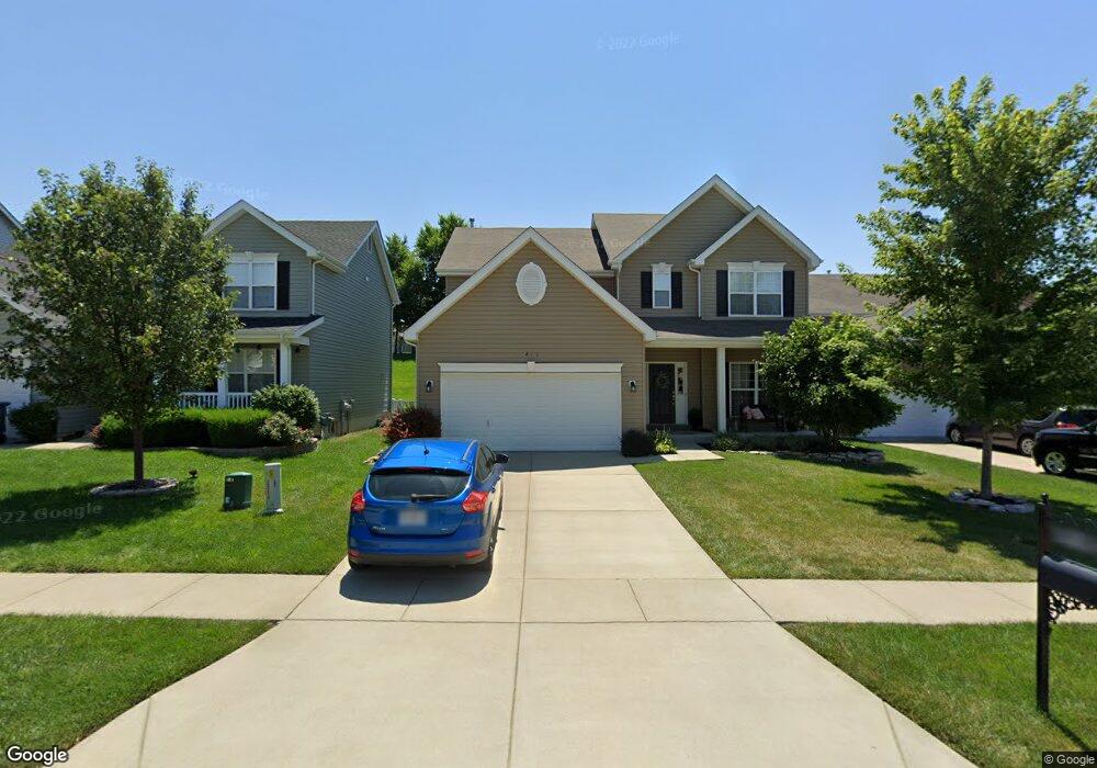
214 Wyndtrace Ct Lake Saint Louis, MO 63367
Estimated Value: $443,000 - $469,055
4
Beds
3
Baths
2,564
Sq Ft
$180/Sq Ft
Est. Value
About This Home
This home is located at 214 Wyndtrace Ct, Lake Saint Louis, MO 63367 and is currently estimated at $460,764, approximately $179 per square foot. 214 Wyndtrace Ct is a home with nearby schools including Duello Elementary School, Frontier Middle School, and Liberty High School.
Ownership History
Date
Name
Owned For
Owner Type
Purchase Details
Closed on
Dec 17, 2015
Sold by
Dement Irl L and Dement Leslie E
Bought by
Dement Irl L and Dement Leslie E
Current Estimated Value
Purchase Details
Closed on
Dec 11, 2013
Sold by
Mcbride Wyndgate Llc
Bought by
Dement Irl L and Griffin Leslie E
Home Financials for this Owner
Home Financials are based on the most recent Mortgage that was taken out on this home.
Original Mortgage
$246,476
Outstanding Balance
$187,161
Interest Rate
4.62%
Mortgage Type
FHA
Estimated Equity
$273,603
Create a Home Valuation Report for This Property
The Home Valuation Report is an in-depth analysis detailing your home's value as well as a comparison with similar homes in the area
Home Values in the Area
Average Home Value in this Area
Purchase History
| Date | Buyer | Sale Price | Title Company |
|---|---|---|---|
| Dement Irl L | -- | None Available | |
| Dement Irl L | $251,023 | Dependable Title Llc |
Source: Public Records
Mortgage History
| Date | Status | Borrower | Loan Amount |
|---|---|---|---|
| Open | Dement Irl L | $246,476 |
Source: Public Records
Tax History Compared to Growth
Tax History
| Year | Tax Paid | Tax Assessment Tax Assessment Total Assessment is a certain percentage of the fair market value that is determined by local assessors to be the total taxable value of land and additions on the property. | Land | Improvement |
|---|---|---|---|---|
| 2025 | $4,905 | $75,206 | -- | -- |
| 2023 | $4,909 | $71,728 | $0 | $0 |
| 2022 | $4,036 | $54,915 | $0 | $0 |
| 2021 | $4,045 | $54,915 | $0 | $0 |
| 2020 | $3,925 | $51,218 | $0 | $0 |
| 2019 | $3,685 | $51,218 | $0 | $0 |
| 2018 | $3,603 | $47,654 | $0 | $0 |
| 2017 | $3,577 | $47,654 | $0 | $0 |
| 2016 | $3,732 | $47,695 | $0 | $0 |
| 2015 | $3,677 | $47,695 | $0 | $0 |
| 2014 | $3,428 | $47,694 | $0 | $0 |
Source: Public Records
Map
Nearby Homes
- 113 Wyndcrest Ct
- 324 Eastgate Dr
- 497 Parkgate Dr
- 396 Haycastle Dr
- 209 Wyndemere Ln
- 126 Far Meadow Dr
- 414 Filipp Ln
- 103 Eckstein Ln
- 821 Topsfield Dr
- 522 Long Creek Dr
- 104 Long Pass Ct
- 215 Everett Creek Ct
- 125 Far Meadow Dr
- 1733 Briarmanor Dr
- 237 Mason Glen Dr
- LOT #1B Wies Industrial Dr
- LOT #1C Wies Industrial Dr
- 1832 English Oak Dr
- 114 Brookfield Crossing Dr
- 2 Berwick at Harvest Manors
- 216 Wyndtrace Ct
- 212 Wyndtrace Ct
- 218 Wyndtrace Ct
- 210 Wyndtrace Ct
- 208 Wyndtrace Ct
- 215 Wyndtrace Ct
- 220 Wyndtrace Ct
- 217 Wyndtrace Ct
- 213 Wyndtrace Ct
- 211 Wyndtrace Ct
- 513 Wyndgate Lake Ct
- 219 Wyndtrace Ct
- 206 Wyndtrace Ct
- 224 Wyndtrace Ct
- 511 Wyndgate Lake Lot #272 Ct
- 511 Wyndgate
- 511 Wyndgate Lake Ct
- 221 Wyndtrace Ct
- 209 Wyndtrace Ct
- 517 Wyndgate Lake Ct