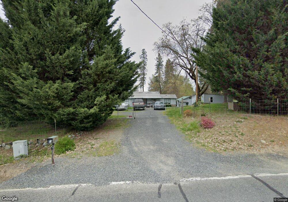
2140 Arnold Ave Grants Pass, OR 97527
Estimated Value: $303,000 - $326,245
3
Beds
1
Bath
1,266
Sq Ft
$249/Sq Ft
Est. Value
About This Home
This home is located at 2140 Arnold Ave, Grants Pass, OR 97527 and is currently estimated at $314,623, approximately $248 per square foot. 2140 Arnold Ave is a home located in Josephine County with nearby schools including Allen Dale Elementary School, South Middle School, and Grants Pass High School.
Ownership History
Date
Name
Owned For
Owner Type
Purchase Details
Closed on
Sep 3, 2025
Sold by
Pitts Eric
Bought by
Eric And Katrina Pitts Trust and Pitts
Current Estimated Value
Purchase Details
Closed on
Feb 8, 2011
Sold by
Federal Home Loan Mortgage Corporation
Bought by
Pitts Eric
Home Financials for this Owner
Home Financials are based on the most recent Mortgage that was taken out on this home.
Original Mortgage
$93,782
Interest Rate
4.71%
Mortgage Type
New Conventional
Purchase Details
Closed on
Aug 9, 2010
Sold by
Vanhulzen Dustin
Bought by
Federal Home Loan Mortgage Corp
Create a Home Valuation Report for This Property
The Home Valuation Report is an in-depth analysis detailing your home's value as well as a comparison with similar homes in the area
Purchase History
| Date | Buyer | Sale Price | Title Company |
|---|---|---|---|
| Eric And Katrina Pitts Trust | -- | None Listed On Document | |
| Pitts Eric | $90,500 | Service Link | |
| Federal Home Loan Mortgage Corp | $181,203 | Ticor Title |
Source: Public Records
Mortgage History
| Date | Status | Borrower | Loan Amount |
|---|---|---|---|
| Previous Owner | Pitts Eric | $93,782 |
Source: Public Records
Tax History
| Year | Tax Paid | Tax Assessment Tax Assessment Total Assessment is a certain percentage of the fair market value that is determined by local assessors to be the total taxable value of land and additions on the property. | Land | Improvement |
|---|---|---|---|---|
| 2025 | $1,261 | $152,850 | -- | -- |
| 2024 | $1,261 | $148,400 | -- | -- |
| 2023 | $1,084 | $144,080 | $0 | $0 |
| 2022 | $1,062 | $139,890 | -- | -- |
| 2021 | $997 | $135,820 | $0 | $0 |
| 2020 | $906 | $131,870 | $0 | $0 |
| 2019 | $880 | $128,030 | $0 | $0 |
| 2018 | $880 | $124,310 | $0 | $0 |
| 2017 | $872 | $120,690 | $0 | $0 |
| 2016 | $738 | $117,180 | $0 | $0 |
Source: Public Records
Map
Nearby Homes
- 0 Bushnell Way Unit 412
- 2444 Elk Ln
- 1743 Kellenbeck Ave
- 1484 SW Schutzwohl Ln
- 1880 Medart Ln
- Lot 4 Sylvan Dr
- 3 Sylvan Dr Unit Lot 3
- 2957 Sylvan Dr
- Lot 5 Sylvan Dr
- 1630 Medart Ln
- 0 Sylvan Dr Unit Lot 10 220196204
- 1551 Willow Ln
- 2659 Esther Ln
- 2970 Elk Ln
- 2678 Sand Creek Rd
- 1515 Agape Way
- 1509 Agape Way
- 1662 Nunnwood Ln
- 2368 Redwood Ave
- 1505 Agape Way
- 2248 Dowell Rd
- 2203 Arnold Ave
- 2065 Arnold Ave
- 2254 Arnold Ave
- 2123 Arnold Ave
- 2043 Arnold Ave
- 2172 Arnold Ave Unit 11
- 2172 Arnold Ave Unit 12
- 2172 Arnold Ave Unit 9
- 2172 Arnold Ave Unit 34
- 2172 Arnold Ave Unit 23
- 2172 Arnold Ave Unit 8
- 2172 Arnold Ave Unit 37
- 2172 Arnold Ave Unit 36
- 2172 Arnold Ave Unit SPC 9
- 2172 Arnold Ave Unit SPC 7
- 2172 Arnold Ave Unit SPC 10
- 2172 Arnold Ave Unit 43
- 2172 Arnold Ave Unit 32
- 2172 Arnold Ave Unit 1