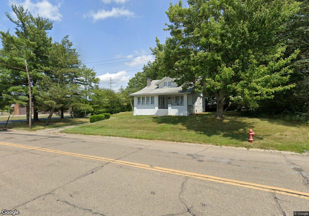
2140 Parkway Blvd Alliance, OH 44601
Estimated Value: $200,000 - $246,000
3
Beds
3
Baths
2,024
Sq Ft
$109/Sq Ft
Est. Value
About This Home
This home is located at 2140 Parkway Blvd, Alliance, OH 44601 and is currently estimated at $220,121, approximately $108 per square foot. 2140 Parkway Blvd is a home located in Stark County with nearby schools including Alliance Elementary School at Rockhill, Alliance Intermediate School at Northside, and Alliance Middle School.
Ownership History
Date
Name
Owned For
Owner Type
Purchase Details
Closed on
Apr 13, 2022
Sold by
Minor Ii Ronald C and Minor Anna M
Bought by
Minor Rentals Llc
Current Estimated Value
Purchase Details
Closed on
May 3, 2000
Sold by
Valdez Francis B
Bought by
Minor Ii Ronald C and Minor Anna M
Home Financials for this Owner
Home Financials are based on the most recent Mortgage that was taken out on this home.
Original Mortgage
$64,600
Interest Rate
8.24%
Mortgage Type
Purchase Money Mortgage
Create a Home Valuation Report for This Property
The Home Valuation Report is an in-depth analysis detailing your home's value as well as a comparison with similar homes in the area
Home Values in the Area
Average Home Value in this Area
Purchase History
| Date | Buyer | Sale Price | Title Company |
|---|---|---|---|
| Minor Rentals Llc | -- | Geiger Teeple Robinson & Mcelw | |
| Minor Ii Ronald C | $76,000 | -- |
Source: Public Records
Mortgage History
| Date | Status | Borrower | Loan Amount |
|---|---|---|---|
| Previous Owner | Minor Ii Ronald C | $64,600 |
Source: Public Records
Tax History Compared to Growth
Tax History
| Year | Tax Paid | Tax Assessment Tax Assessment Total Assessment is a certain percentage of the fair market value that is determined by local assessors to be the total taxable value of land and additions on the property. | Land | Improvement |
|---|---|---|---|---|
| 2025 | -- | $60,340 | $11,830 | $48,510 |
| 2024 | $3,755 | $60,340 | $11,830 | $48,510 |
| 2023 | $3,755 | $38,010 | $10,990 | $27,020 |
| 2022 | $1,575 | $38,010 | $10,990 | $27,020 |
| 2021 | $1,579 | $38,010 | $10,990 | $27,020 |
| 2020 | $1,484 | $33,360 | $9,590 | $23,770 |
| 2019 | $1,464 | $33,370 | $9,600 | $23,770 |
| 2018 | $1,471 | $33,370 | $9,600 | $23,770 |
| 2017 | $1,343 | $29,930 | $8,020 | $21,910 |
| 2016 | $1,345 | $29,720 | $7,810 | $21,910 |
| 2015 | $1,357 | $29,720 | $7,810 | $21,910 |
| 2014 | $1,420 | $29,620 | $7,810 | $21,810 |
| 2013 | $709 | $29,620 | $7,810 | $21,810 |
Source: Public Records
Map
Nearby Homes
- 884 W College Rd
- 1515 S Rockhill Ave
- 2112 Blenheim Ave
- 1059 Oakwood Dr
- 2839 S Rockhill Ave
- 2050 Federal Ave
- 2220 Western Ave
- 1321 Parkway Blvd
- 3101 Ridgehill Ave
- 1201 Overlook Dr
- 1038 Fairview Place
- 738 Kingsway St
- 112 E College St
- 970 Kingsway St
- 1475 Chatauqua Ct
- 896 Parkway Blvd
- 236 E Milton St
- 317 E State St
- 390 E College St
- 0 Winchester St
- 921 W Mill St
- 919 W Mill St
- 2208 Parkway Blvd
- 2205 Parkway Blvd
- 917 W Mill St
- 2217 Parkway Blvd
- 2220 Parkway Blvd
- 2107 Antram Ave
- 910 W Mill St
- 2206 Burton Ave
- 2232 Parkway Blvd
- 2227 Parkway Blvd
- 839 W Mill St
- 935 W 23rd St
- 2242 Parkway Blvd
- 2120 Antram Ave
- 2237 Parkway Blvd
- 2232 Burton Ave
- 829 W Mill St
- 905 W 23rd St