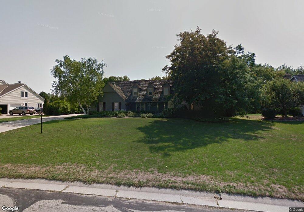
2140 Vincent Dr Brookfield, WI 53045
Estimated Value: $597,000 - $700,000
3
Beds
3
Baths
1,519
Sq Ft
$424/Sq Ft
Est. Value
About This Home
This home is located at 2140 Vincent Dr, Brookfield, WI 53045 and is currently estimated at $643,596, approximately $423 per square foot. 2140 Vincent Dr is a home located in Waukesha County with nearby schools including Brookfield Elementary School, Wisconsin Hills Middle School, and Brookfield Central High School.
Ownership History
Date
Name
Owned For
Owner Type
Purchase Details
Closed on
May 20, 2014
Sold by
Vaughan John E and Vaughan Dana S
Bought by
Dana S Vaughan Revocable Trust
Current Estimated Value
Purchase Details
Closed on
Sep 30, 1997
Sold by
Johnson Kenneth L and Johnson Joanne F
Bought by
Vaughan John E and Vaughan Dana S
Home Financials for this Owner
Home Financials are based on the most recent Mortgage that was taken out on this home.
Original Mortgage
$190,000
Interest Rate
7.7%
Mortgage Type
Purchase Money Mortgage
Create a Home Valuation Report for This Property
The Home Valuation Report is an in-depth analysis detailing your home's value as well as a comparison with similar homes in the area
Home Values in the Area
Average Home Value in this Area
Purchase History
| Date | Buyer | Sale Price | Title Company |
|---|---|---|---|
| Dana S Vaughan Revocable Trust | -- | None Available | |
| Vaughan John E | $302,000 | -- |
Source: Public Records
Mortgage History
| Date | Status | Borrower | Loan Amount |
|---|---|---|---|
| Previous Owner | Vaughan John E | $190,000 |
Source: Public Records
Tax History Compared to Growth
Tax History
| Year | Tax Paid | Tax Assessment Tax Assessment Total Assessment is a certain percentage of the fair market value that is determined by local assessors to be the total taxable value of land and additions on the property. | Land | Improvement |
|---|---|---|---|---|
| 2024 | $5,686 | $508,500 | $148,500 | $360,000 |
| 2023 | $5,690 | $508,500 | $148,500 | $360,000 |
| 2022 | $6,225 | $433,800 | $143,000 | $290,800 |
| 2021 | $6,595 | $433,800 | $143,000 | $290,800 |
| 2020 | $6,871 | $433,800 | $143,000 | $290,800 |
| 2019 | $6,603 | $433,800 | $143,000 | $290,800 |
| 2018 | $6,544 | $418,000 | $150,000 | $268,000 |
| 2017 | $6,539 | $418,000 | $150,000 | $268,000 |
| 2016 | $6,633 | $418,000 | $150,000 | $268,000 |
| 2015 | $6,594 | $418,000 | $150,000 | $268,000 |
| 2014 | $6,604 | $418,000 | $150,000 | $268,000 |
| 2013 | $6,840 | $418,000 | $150,000 | $268,000 |
Source: Public Records
Map
Nearby Homes
- 20780 Tennyson Dr
- 2410 Talbots Ln
- 21300 Astolat Dr
- 21380 Woodchuck Ln
- 1660 Constitution Dr
- 20025 Freedom Ct
- 21905 W North Ave
- 21965 Valiant Dr
- Lt119 Berwick Ct
- Lt117 Berwick Ct
- Lt115 Berwick Ct
- Lt120 Berwick Ct
- Lt116 Berwick Ct
- Lt114 Berwick Ct
- Lt118 Berwick Ct
- 21330 Hollycrest Ct
- 1345 Overlook Cir
- N19W22081 Foxview Ct Unit 2B
- 19050 W North Ave
- 950 N Barker Rd
- 2170 Vincent Dr
- 20645 Vincent Dr
- 20655 Vincent Ct
- 20585 Dexter Ct
- 20675 Vincent Dr
- 20700 Vincent Dr
- 2205 Vincent Dr
- 20600 Dexter Ct
- 20565 Dexter Ct
- 2080 Colby Ct
- 20725 Vincent Ct
- 20750 Vincent Dr
- 20710 Vincent Ct
- 2225 Vincent Dr
- 2240 Vincent Dr
- 20570 Dexter Ct
- 2050 Colby Ct
- 20780 Vincent Dr
- 20755 Vincent Ct
- 20740 Vincent Ct