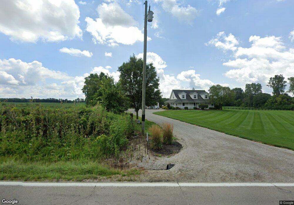
21401 State Route 245 Marysville, OH 43040
Estimated Value: $439,000 - $509,000
3
Beds
3
Baths
1,658
Sq Ft
$286/Sq Ft
Est. Value
About This Home
This home is located at 21401 State Route 245, Marysville, OH 43040 and is currently estimated at $473,907, approximately $285 per square foot. 21401 State Route 245 is a home located in Union County with nearby schools including Fairbanks Elementary School, Fairbanks Middle School, and Fairbanks High School.
Ownership History
Date
Name
Owned For
Owner Type
Purchase Details
Closed on
Oct 18, 2005
Sold by
Brake Larry A and Brake Cindy N
Bought by
Wilson Bryan and Wilson Dolly M
Current Estimated Value
Home Financials for this Owner
Home Financials are based on the most recent Mortgage that was taken out on this home.
Original Mortgage
$204,000
Interest Rate
5.82%
Mortgage Type
Fannie Mae Freddie Mac
Create a Home Valuation Report for This Property
The Home Valuation Report is an in-depth analysis detailing your home's value as well as a comparison with similar homes in the area
Home Values in the Area
Average Home Value in this Area
Purchase History
| Date | Buyer | Sale Price | Title Company |
|---|---|---|---|
| Wilson Bryan | $255,000 | Valley Title & Escrow Agency |
Source: Public Records
Mortgage History
| Date | Status | Borrower | Loan Amount |
|---|---|---|---|
| Previous Owner | Wilson Bryan | $204,000 |
Source: Public Records
Tax History Compared to Growth
Tax History
| Year | Tax Paid | Tax Assessment Tax Assessment Total Assessment is a certain percentage of the fair market value that is determined by local assessors to be the total taxable value of land and additions on the property. | Land | Improvement |
|---|---|---|---|---|
| 2024 | $5,341 | $114,260 | $27,980 | $86,280 |
| 2023 | $5,341 | $114,260 | $27,980 | $86,280 |
| 2022 | $5,257 | $114,260 | $27,980 | $86,280 |
| 2021 | $4,663 | $98,330 | $22,060 | $76,270 |
| 2020 | $4,655 | $98,330 | $22,060 | $76,270 |
| 2019 | $4,712 | $98,330 | $22,060 | $76,270 |
| 2018 | $4,191 | $80,680 | $18,930 | $61,750 |
| 2017 | $4,101 | $78,340 | $18,930 | $59,410 |
| 2016 | $3,967 | $78,340 | $18,930 | $59,410 |
| 2015 | $3,729 | $68,310 | $18,930 | $49,380 |
| 2014 | $3,729 | $68,310 | $18,930 | $49,380 |
| 2013 | $3,515 | $68,310 | $18,930 | $49,380 |
Source: Public Records
Map
Nearby Homes
- 21917 Boord Rd
- 14360 Maple Ridge Rd
- A Coleman-Brake Rd
- 0 Coleman-Brake Rd Unit Lot C 225035001
- Lot A Philip Herre Rd
- 15275 Payne Rd
- 20943 Barker Rd
- 17282 Cradler Turner Rd
- 1530 Day Break Loop Unit 105A
- 1540 Day Break Loop Unit 105B
- 1692 Skyview Dr
- 2225 Crisp Air Run
- 1550 Day Break Loop Unit 107A
- 2080 Sun Dusk Way
- 1675 Day Break Loop Unit 83A
- 1695 Day Break Loop Unit 81A
- 2270 Cloud View Ct
- 2230 Cloud View Ct
- 1663 Skyview Dr
- 2200 Sunny View Ct
- 0 Ohio 245
- 21502 State Route 245
- 21328 State Route 245
- 15805 Hunters Run
- 15897 Hunters Run
- 21217 State Route 245
- 15840 Hunters Run
- 16029 Hunters Run
- 21560 State Route 245
- 15782 Hunters Run
- 15955 Hunters Run
- 21600 State Route 245
- 15864 Hunters Run
- 16071 Hunters Run
- 21100 State Route 245
- 15920 Hunters Run
- 16000 Hunters Run
- 21095 State Route 245
- 21022 State Route 245
- 21732 State Route 245