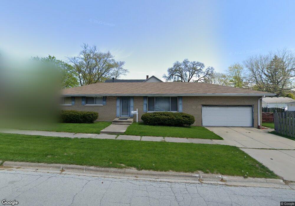
21403 Maple St Matteson, IL 60443
Old Matteson NeighborhoodEstimated Value: $201,000 - $247,000
3
Beds
2
Baths
1,335
Sq Ft
$165/Sq Ft
Est. Value
About This Home
This home is located at 21403 Maple St, Matteson, IL 60443 and is currently estimated at $219,662, approximately $164 per square foot. 21403 Maple St is a home located in Cook County with nearby schools including Illinois School, Matteson Elementary School, and Sauk Elementary School.
Ownership History
Date
Name
Owned For
Owner Type
Purchase Details
Closed on
Jan 24, 2008
Sold by
Weaver Alvorna
Bought by
Weaver Alvorna
Current Estimated Value
Purchase Details
Closed on
Jun 16, 2005
Sold by
Powell Scott D and Powell Jean A
Bought by
Clark Albert Frank
Home Financials for this Owner
Home Financials are based on the most recent Mortgage that was taken out on this home.
Original Mortgage
$164,700
Outstanding Balance
$96,414
Interest Rate
7.7%
Mortgage Type
Unknown
Estimated Equity
$123,248
Create a Home Valuation Report for This Property
The Home Valuation Report is an in-depth analysis detailing your home's value as well as a comparison with similar homes in the area
Home Values in the Area
Average Home Value in this Area
Purchase History
| Date | Buyer | Sale Price | Title Company |
|---|---|---|---|
| Weaver Alvorna | $203,000 | First American Title Ins Co | |
| Clark Albert Frank | $183,000 | Chicago Title Insurance Comp |
Source: Public Records
Mortgage History
| Date | Status | Borrower | Loan Amount |
|---|---|---|---|
| Open | Clark Albert Frank | $164,700 |
Source: Public Records
Tax History Compared to Growth
Tax History
| Year | Tax Paid | Tax Assessment Tax Assessment Total Assessment is a certain percentage of the fair market value that is determined by local assessors to be the total taxable value of land and additions on the property. | Land | Improvement |
|---|---|---|---|---|
| 2024 | $7,026 | $15,056 | $2,640 | $12,416 |
| 2023 | $4,368 | $17,000 | $2,640 | $14,360 |
| 2022 | $4,368 | $8,053 | $2,310 | $5,743 |
| 2021 | $2,597 | $8,052 | $2,310 | $5,742 |
| 2020 | $4,101 | $8,052 | $2,310 | $5,742 |
| 2019 | $4,890 | $9,448 | $2,145 | $7,303 |
| 2018 | $3,111 | $9,448 | $2,145 | $7,303 |
| 2017 | $5,385 | $10,839 | $2,145 | $8,694 |
| 2016 | $4,619 | $9,394 | $1,980 | $7,414 |
| 2015 | $4,579 | $9,394 | $1,980 | $7,414 |
| 2014 | $4,436 | $9,394 | $1,980 | $7,414 |
| 2013 | $4,803 | $11,128 | $1,980 | $9,148 |
Source: Public Records
Map
Nearby Homes
- 3712 214th St
- 3727 214th Place Unit 2
- 3704 215th St Unit 205
- 3809 215th St
- 3762 216th Place
- 3919 214th St
- 3817 216th Place
- 3865 216th St
- 21607 Main St
- 21142 Locust St
- 21209 Oak St
- 3718 211th Place
- 549 Homan Ave
- 305 Jackson St
- 21635 Dogwood Rd Unit 1165
- 21612 Wildflower Rd Unit 113-4
- 21829 Richton Rd
- 508 Davis St
- 4200 Washington Ave
- 307 Gettysburg St
- 3731 214th St
- 3727 214th St
- 21404 Maple St
- 3736 214th Place
- 3723 214th St
- 3732 214th Place
- 3749 214th St
- 3728 214th Place
- 3746 214th Place
- 3736 214th St
- 3746 Maple Ave
- 3732 214th St
- 3719 214th St
- 21354 Maple St
- 3728 214th St
- 3750 214th Place
- 3724 214th St
- 3720 214th Place
- 3715 214th St
- 3754 214th Place