21406 NE 207th St Battle Ground, WA 98604
Estimated Value: $778,829 - $1,000,000
3
Beds
3
Baths
2,262
Sq Ft
$384/Sq Ft
Est. Value
About This Home
This home is located at 21406 NE 207th St, Battle Ground, WA 98604 and is currently estimated at $868,957, approximately $384 per square foot. 21406 NE 207th St is a home located in Clark County with nearby schools including Hockinson Middle School and Hockinson High School.
Ownership History
Date
Name
Owned For
Owner Type
Purchase Details
Closed on
Mar 27, 2013
Sold by
Barry Robert T and Barry Linda K
Bought by
Griffith Joseph R and Griffith Kristina J
Current Estimated Value
Home Financials for this Owner
Home Financials are based on the most recent Mortgage that was taken out on this home.
Original Mortgage
$293,200
Outstanding Balance
$207,147
Interest Rate
3.49%
Mortgage Type
New Conventional
Estimated Equity
$661,810
Create a Home Valuation Report for This Property
The Home Valuation Report is an in-depth analysis detailing your home's value as well as a comparison with similar homes in the area
Home Values in the Area
Average Home Value in this Area
Purchase History
| Date | Buyer | Sale Price | Title Company |
|---|---|---|---|
| Griffith Joseph R | $366,500 | Cascade Title |
Source: Public Records
Mortgage History
| Date | Status | Borrower | Loan Amount |
|---|---|---|---|
| Open | Griffith Joseph R | $293,200 |
Source: Public Records
Tax History Compared to Growth
Tax History
| Year | Tax Paid | Tax Assessment Tax Assessment Total Assessment is a certain percentage of the fair market value that is determined by local assessors to be the total taxable value of land and additions on the property. | Land | Improvement |
|---|---|---|---|---|
| 2025 | $6,108 | $683,673 | $306,032 | $377,641 |
| 2024 | $5,860 | $663,821 | $306,032 | $357,789 |
| 2023 | $5,829 | $685,333 | $319,384 | $365,949 |
| 2022 | $5,158 | $657,255 | $291,560 | $365,695 |
| 2021 | $5,058 | $523,749 | $207,422 | $316,327 |
| 2020 | $4,856 | $488,642 | $222,055 | $266,587 |
| 2019 | $4,721 | $461,414 | $209,251 | $252,163 |
| 2018 | $5,322 | $459,933 | $0 | $0 |
| 2017 | $4,512 | $404,352 | $0 | $0 |
| 2016 | $4,536 | $369,331 | $0 | $0 |
| 2015 | $4,253 | $341,039 | $0 | $0 |
| 2014 | -- | $320,136 | $0 | $0 |
| 2013 | -- | $285,685 | $0 | $0 |
Source: Public Records
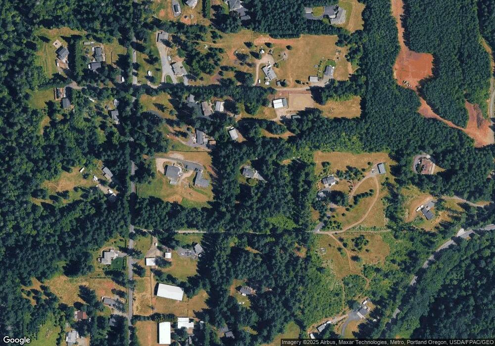
Map
Nearby Homes
- 0 NE 212th Ave
- 21017 NE Risto Rd
- 20502 NE 225th Ave
- 22400 NE 216th Cir
- 22414 NE 200th St
- 19119 NE 204th Ave
- 18717 NE 208th Ct
- 20304 NE 237th Ave
- 20205 NE 190th Ave
- 20015 NE 234th St
- 24104 NE 199th St
- 21821 NE Rock Creek Canyon Rd
- 24415 NE 219th St
- 23417 NE Canyon Rd
- 17401 NE 217th Ave
- 24312 NE 224th St
- 18426 NE 191st Cir
- 19911 NE 179th Ct
- 17602 NE 232nd Ave
- 20607 NE Allworth Rd
- 20815 NE 212th Ave
- 20903 NE 212th Ave
- 20915 NE 212th Ave
- 26913 NE 207th St
- 21600 NE 207th St
- 21009 NE 212th Ave
- 21411 NE 207th St
- 21013 NE 212th Ave
- 20802 NE 212th Ave
- 0 NE 212th Ave
- 20908 NE 212th Ave
- 20614 NE 212th Ave
- 21213 NE 212th Ave
- 21904 NE Risto Rd
- 20419 NE 212th Ave
- 21201 NE 212th Ave
- 21217 NE 212th Ave
- 21018 NE 212th Ave
- 21902 NE Risto Rd