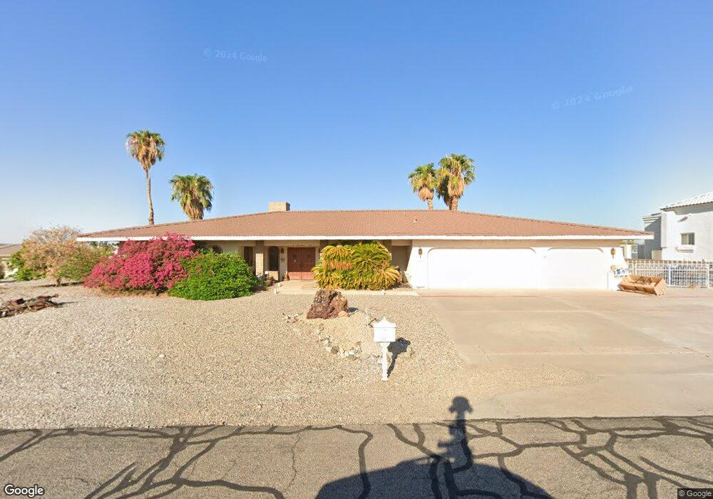
2141 Chip Dr Lake Havasu City, AZ 86406
Estimated Value: $569,596 - $785,000
--
Bed
1
Bath
1,966
Sq Ft
$354/Sq Ft
Est. Value
About This Home
This home is located at 2141 Chip Dr, Lake Havasu City, AZ 86406 and is currently estimated at $696,399, approximately $354 per square foot. 2141 Chip Dr is a home located in Mohave County with nearby schools including Starline Elementary School, Thunderbolt Middle School, and Lake Havasu High School.
Ownership History
Date
Name
Owned For
Owner Type
Purchase Details
Closed on
Feb 12, 2008
Sold by
Stevens Theodore R and Stevens Carol M
Bought by
Stevens Theodore R and Stevens Carol M
Current Estimated Value
Purchase Details
Closed on
May 2, 2002
Sold by
Whitbeck Michael and Whitbeck Donna
Bought by
Stevens Theodore R and Stevens Carol M
Purchase Details
Closed on
Jun 16, 2000
Sold by
Lawton Jack and Lawton Laura
Bought by
Whitbeck Michael and Whitbeck Donna
Home Financials for this Owner
Home Financials are based on the most recent Mortgage that was taken out on this home.
Original Mortgage
$193,800
Interest Rate
8.67%
Create a Home Valuation Report for This Property
The Home Valuation Report is an in-depth analysis detailing your home's value as well as a comparison with similar homes in the area
Home Values in the Area
Average Home Value in this Area
Purchase History
| Date | Buyer | Sale Price | Title Company |
|---|---|---|---|
| Stevens Theodore R | -- | None Available | |
| Stevens Theodore R | $249,000 | First American Title | |
| Whitbeck Michael | $204,000 | Transnation Title Ins Co |
Source: Public Records
Mortgage History
| Date | Status | Borrower | Loan Amount |
|---|---|---|---|
| Previous Owner | Whitbeck Michael | $193,800 |
Source: Public Records
Tax History Compared to Growth
Tax History
| Year | Tax Paid | Tax Assessment Tax Assessment Total Assessment is a certain percentage of the fair market value that is determined by local assessors to be the total taxable value of land and additions on the property. | Land | Improvement |
|---|---|---|---|---|
| 2026 | -- | -- | -- | -- |
| 2025 | $2,434 | $50,088 | $0 | $0 |
| 2024 | $2,434 | $53,453 | $0 | $0 |
| 2023 | $2,434 | $43,766 | $0 | $0 |
| 2022 | $2,016 | $36,847 | $0 | $0 |
| 2021 | $2,239 | $31,178 | $0 | $0 |
| 2019 | $2,126 | $28,453 | $0 | $0 |
| 2018 | $2,053 | $26,909 | $0 | $0 |
| 2017 | $2,018 | $26,554 | $0 | $0 |
| 2016 | $1,782 | $26,808 | $0 | $0 |
| 2015 | $1,734 | $23,177 | $0 | $0 |
Source: Public Records
Map
Nearby Homes
- 2175 Snead Dr Unit 4
- 2175 Snead Dr Unit 6
- 2180 Snead Dr
- 393 Hagen Way
- 2190 Snead Dr
- 2207 Oliver Ln
- 2041 Oak Dr
- 209 Snead Dr
- 475 Jones Dr
- 2139 Palmer Dr
- 2371 Stroke Dr
- 2175 Palmer Dr
- 2224 Littler Ln Unit 28
- 2224 Littler Ln Unit 26
- 220 White Oak Dr
- 2190 Palmer Dr
- 2288 Casper Ln
- 2295 Daytona Loop
- 565 Jones Dr Unit 3b
- 371 Cottonwood Dr