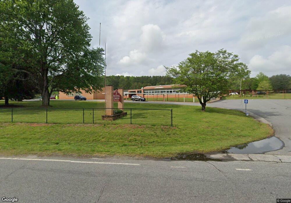
2141 Highway 9 S Mill Spring, NC 28756
Estimated Value: $440,000 - $2,104,469
3
Beds
1
Bath
1,232
Sq Ft
$1,027/Sq Ft
Est. Value
About This Home
This home is located at 2141 Highway 9 S, Mill Spring, NC 28756 and is currently estimated at $1,265,823, approximately $1,027 per square foot. 2141 Highway 9 S is a home.
Ownership History
Date
Name
Owned For
Owner Type
Purchase Details
Closed on
Jun 7, 2023
Sold by
Oak Hall Condominium Association Inc
Bought by
Brown Constance Maila
Current Estimated Value
Purchase Details
Closed on
Feb 21, 1959
Bought by
Polk County Board Of Education
Create a Home Valuation Report for This Property
The Home Valuation Report is an in-depth analysis detailing your home's value as well as a comparison with similar homes in the area
Home Values in the Area
Average Home Value in this Area
Purchase History
| Date | Buyer | Sale Price | Title Company |
|---|---|---|---|
| Brown Constance Maila | $1,000 | None Listed On Document | |
| Polk County Board Of Education | -- | -- |
Source: Public Records
Tax History Compared to Growth
Tax History
| Year | Tax Paid | Tax Assessment Tax Assessment Total Assessment is a certain percentage of the fair market value that is determined by local assessors to be the total taxable value of land and additions on the property. | Land | Improvement |
|---|---|---|---|---|
| 2025 | $7,105 | $1,392,082 | $993,900 | $398,182 |
| 2024 | $7,170 | $1,120,822 | $828,250 | $292,572 |
| 2023 | $7,170 | $1,120,822 | $828,250 | $292,572 |
| 2022 | $6,609 | $1,120,822 | $828,250 | $292,572 |
| 2021 | $6,609 | $1,120,822 | $828,250 | $292,572 |
| 2020 | $6,143 | $973,994 | $662,600 | $311,394 |
| 2019 | $6,143 | $973,994 | $662,600 | $311,394 |
| 2018 | $6,162 | $1,009,032 | $662,600 | $346,432 |
| 2017 | $6,011 | $578,632 | $264,435 | $314,197 |
| 2014 | $3,371 | $0 | $0 | $0 |
| 2013 | $3,371 | $0 | $0 | $0 |
Source: Public Records
Map
Nearby Homes
- 1642 Smith Waldrop Rd
- 0 Quail Ridge Rd Unit 214 CAR4265619
- 00 A R Thompson Rd
- Lot 20 A R Thompson Rd
- Lot 20 A R Thompson Rd Unit 20
- Lot 48.2 A R Thompson Rd
- Lot 46 A R Thompson Rd
- Lot 8-1 Whiteside Rd
- Lot 8.2 Whiteside Rd
- 768 White Oak Ln
- Lot 17.2 Saddleside Dr Unit 17.2
- 00 Saddleside Dr
- 00 Bill Collins Rd
- 0 Mountain Pkwy Unit Lot 29
- 0 Hugh Champion Rd Unit 1-9 13-26 28-61
- 620 Smith Waldrop Rd
- Lot 3 S Cross Creek Trail
- 6271 N Carolina 108
- 256 School Rd
- 0 N Carolina 108
- 2101 Hwy 9 S
- 2053 Smith Waldrop Rd
- 2191 Smith Waldrop Rd
- 2255 Smith Waldrop Rd
- 1669 Highway 9 N
- 1845 Smith Waldrop Rd
- 1966 Smith Waldrop Rd
- 2430 Smith Waldrop Rd
- 1559 Highway 9 S
- 999 Nc Hwy 9 Highway C
- 999 Nc Hwy 9 Highway B
- 160 White Fence Ln
- 1454 A R Thompson Rd
- 6 Whits Ln Unit 6
- 2 Whits Ln
- 2 Whits Ln Unit 2
- 104 York Dr
- 490 White Fence Ln
- 2484 Smith Waldrop Rd
- 1490 Highway 9 S
