Estimated Value: $534,121 - $657,000
4
Beds
3
Baths
2,172
Sq Ft
$275/Sq Ft
Est. Value
About This Home
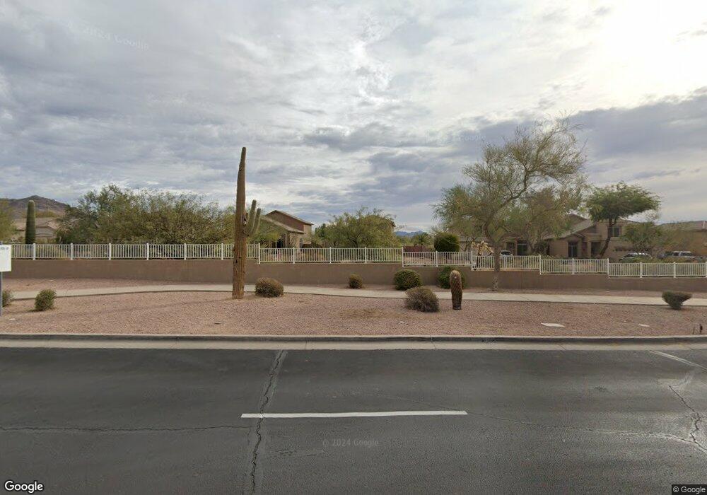
This home is located at 2141 N Azurite Cir, Mesa, AZ 85207 and is currently estimated at $598,280, approximately $275 per square foot. 2141 N Azurite Cir is a home located in Maricopa County with nearby schools including Franklin at Brimhall Elementary School, Zaharis Elementary School, and Franklin West Elementary School.
Ownership History
Date
Name
Owned For
Owner Type
Purchase Details
Closed on
Apr 8, 2021
Sold by
James Ronald E and James Barbara A
Bought by
Ronald E And Barbara A James Living Trust and James
Current Estimated Value
Purchase Details
Closed on
Nov 24, 2003
Sold by
Foutz Wanda M
Bought by
James Ronald E and James Barbara A
Home Financials for this Owner
Home Financials are based on the most recent Mortgage that was taken out on this home.
Original Mortgage
$120,000
Interest Rate
4.62%
Mortgage Type
Purchase Money Mortgage
Purchase Details
Closed on
Aug 26, 1998
Sold by
Pulte Home Corp
Bought by
Foutz Wanda M
Purchase Details
Closed on
Jun 1, 1998
Sold by
Burrell Ruben L
Bought by
Foutz Wanda
Create a Home Valuation Report for This Property
The Home Valuation Report is an in-depth analysis detailing your home's value as well as a comparison with similar homes in the area
Home Values in the Area
Average Home Value in this Area
Purchase History
| Date | Buyer | Sale Price | Title Company |
|---|---|---|---|
| Ronald E And Barbara A James Living Trust | -- | New Title Company Name | |
| James Ronald E | $218,000 | The Talon Group Title & Sett | |
| Foutz Wanda M | $173,843 | Security Title Agency | |
| Foutz Wanda | -- | Security Title Agency |
Source: Public Records
Mortgage History
| Date | Status | Borrower | Loan Amount |
|---|---|---|---|
| Previous Owner | James Ronald E | $120,000 |
Source: Public Records
Tax History Compared to Growth
Tax History
| Year | Tax Paid | Tax Assessment Tax Assessment Total Assessment is a certain percentage of the fair market value that is determined by local assessors to be the total taxable value of land and additions on the property. | Land | Improvement |
|---|---|---|---|---|
| 2025 | $2,650 | $31,908 | -- | -- |
| 2024 | $2,679 | $30,388 | -- | -- |
| 2023 | $2,679 | $46,110 | $9,220 | $36,890 |
| 2022 | $2,620 | $33,760 | $6,750 | $27,010 |
| 2021 | $2,692 | $32,270 | $6,450 | $25,820 |
| 2020 | $2,656 | $30,600 | $6,120 | $24,480 |
| 2019 | $2,460 | $28,300 | $5,660 | $22,640 |
| 2018 | $2,349 | $26,680 | $5,330 | $21,350 |
| 2017 | $2,275 | $25,880 | $5,170 | $20,710 |
| 2016 | $2,234 | $25,410 | $5,080 | $20,330 |
| 2015 | $2,109 | $25,480 | $5,090 | $20,390 |
Source: Public Records
Map
Nearby Homes
- 2223 N Azurite
- 2365 N Pyrite Unit II
- 2311 N Tierra Alta Cir
- 2335 N Adair Cir
- 9155 E Leonora St
- 2453 N Travis
- 9127 E Lynwood St
- 2441 N Cabot Cir
- 9710 E Inglewood Cir
- 2114 N Canelo Hills
- 9010 E Kenwood St
- 9310 E Mclellan Rd
- 1813 N Trowbridge
- 9845 E Inglewood St
- 1732 N Makalu Cir
- 9435 E Hobart Cir
- 1856 N Atwood
- 1721 N Berrett
- 9047 E Indigo St
- 9052 E Inca St
- 2147 N Azurite Cir
- 2135 N Azurite Cir
- 2129 N Azurite Cir
- 2153 N Azurite Cir
- 2123 N Azurite Cir
- 2159 N Azurite Cir
- 2117 N Azurite Cir
- 2165 N Azurite Cir
- 2166 N Azurite Cir Unit 1
- 2208 N Azurite
- 9563 E Lockwood Cir
- 2215 N Azurite Unit 1
- 2214 N Azurite
- 9533 E Kenwood Cir
- 9554 E Kenwood Cir
- 9557 E Lockwood Cir
- 2222 N Azurite
- 2222 N Azurite
- 9539 E Kenwood Cir
- 9551 E Lockwood Cir