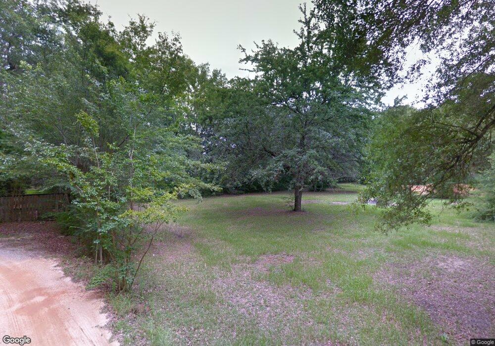
Estimated Value: $272,000 - $338,000
3
Beds
1
Bath
1,248
Sq Ft
$244/Sq Ft
Est. Value
About This Home
This home is located at 21410 E Lay Ln, Foley, AL 36535 and is currently estimated at $304,314, approximately $243 per square foot. 21410 E Lay Ln is a home located in Baldwin County with nearby schools including Florence Mathis Elementary School, Foley Middle School, and Foley High School.
Ownership History
Date
Name
Owned For
Owner Type
Purchase Details
Closed on
Oct 17, 2012
Sold by
Lay Stacy G
Bought by
Lay Joan
Current Estimated Value
Create a Home Valuation Report for This Property
The Home Valuation Report is an in-depth analysis detailing your home's value as well as a comparison with similar homes in the area
Home Values in the Area
Average Home Value in this Area
Purchase History
| Date | Buyer | Sale Price | Title Company |
|---|---|---|---|
| Lay Joan | -- | None Available | |
| Lay Joan | -- | None Available | |
| Lay Joan | -- | None Available | |
| Lay Joan | -- | None Available |
Source: Public Records
Tax History Compared to Growth
Tax History
| Year | Tax Paid | Tax Assessment Tax Assessment Total Assessment is a certain percentage of the fair market value that is determined by local assessors to be the total taxable value of land and additions on the property. | Land | Improvement |
|---|---|---|---|---|
| 2024 | -- | $10,720 | $5,880 | $4,840 |
| 2023 | $0 | $10,720 | $5,880 | $4,840 |
| 2022 | $0 | $18,660 | $0 | $0 |
| 2021 | $0 | $16,560 | $0 | $0 |
| 2020 | $0 | $15,540 | $0 | $0 |
| 2019 | $0 | $13,980 | $0 | $0 |
| 2018 | $0 | $12,700 | $0 | $0 |
| 2017 | $0 | $12,500 | $0 | $0 |
| 2016 | $0 | $12,140 | $0 | $0 |
| 2015 | -- | $12,060 | $0 | $0 |
| 2014 | -- | $10,880 | $0 | $0 |
| 2013 | -- | $10,720 | $0 | $0 |
Source: Public Records
Map
Nearby Homes
- 1166 Pheasant Cir
- 1476 Kairos Loop
- 672 Harahan Ln
- 8774 Primland Blvd
- 22280 Hibiscus Cir
- 14179 Spearfish Dr
- 22310 Hibiscus Cir
- 1524 Kairos Loop
- 19129 S Maple St
- 637 Abita Ln
- 1712 Arcadia Dr
- 1895 Arcadia Dr
- 1704 Arcadia Dr
- 22137 Wolf Creek Dr
- 1867 Arcadia Dr
- 688 Mayflower Dr
- 691 Mayflower Dr
- 704 Mayflower Dr
- 652 Mayflower Dr
- 651 Mayflower Dr
- 21431 E Lay Ln
- 21350 Lay Ln
- 21335 E Lay Ln Unit A
- 21470 Lay Ln
- 21490 E Lay Ln
- 10641 S Lay Ln
- 10641 S Lay Ln
- 21312 Lay Ln Unit A
- 21312 Lay Ln Unit B
- 21312 Lay Ln
- 21305 E Lay Ln
- 21315 Lay Ln
- 21449 E Lay Ln
- 10769 S Lay Ln
- 10930 S Lay Ln
- 11069 Artwood Rd
- 1076 Pheasant Cir
- 11106 Artwood Rd
- 1068 Pheasant Cir
- 1060 Pheasant Cir
