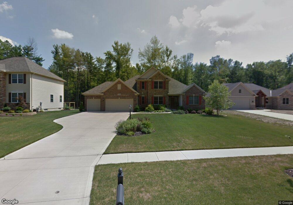
21411 Castlewood Dr Unit S/L 1 Strongsville, OH 44149
Estimated Value: $544,000 - $624,000
4
Beds
4
Baths
2,830
Sq Ft
$207/Sq Ft
Est. Value
About This Home
This home is located at 21411 Castlewood Dr Unit S/L 1, Strongsville, OH 44149 and is currently estimated at $585,003, approximately $206 per square foot. 21411 Castlewood Dr Unit S/L 1 is a home located in Cuyahoga County with nearby schools including Strongsville High School and St Mary School.
Ownership History
Date
Name
Owned For
Owner Type
Purchase Details
Closed on
Aug 22, 2008
Sold by
Ream Builders Of Castlewood Llc
Bought by
Tuckowski Thomas J and Tuckowski Ann M
Current Estimated Value
Home Financials for this Owner
Home Financials are based on the most recent Mortgage that was taken out on this home.
Original Mortgage
$329,600
Interest Rate
6.31%
Mortgage Type
Purchase Money Mortgage
Create a Home Valuation Report for This Property
The Home Valuation Report is an in-depth analysis detailing your home's value as well as a comparison with similar homes in the area
Home Values in the Area
Average Home Value in this Area
Purchase History
| Date | Buyer | Sale Price | Title Company |
|---|---|---|---|
| Tuckowski Thomas J | $412,000 | Chicago Title Insurance Co |
Source: Public Records
Mortgage History
| Date | Status | Borrower | Loan Amount |
|---|---|---|---|
| Closed | Tuckowski Thomas J | $329,600 |
Source: Public Records
Tax History Compared to Growth
Tax History
| Year | Tax Paid | Tax Assessment Tax Assessment Total Assessment is a certain percentage of the fair market value that is determined by local assessors to be the total taxable value of land and additions on the property. | Land | Improvement |
|---|---|---|---|---|
| 2024 | $8,256 | $175,840 | $43,540 | $132,300 |
| 2023 | $9,961 | $159,080 | $30,980 | $128,100 |
| 2022 | $9,888 | $159,075 | $30,975 | $128,100 |
| 2021 | $9,810 | $159,080 | $30,980 | $128,100 |
| 2020 | $10,365 | $148,680 | $28,950 | $119,740 |
| 2019 | $10,061 | $424,800 | $82,700 | $342,100 |
| 2018 | $9,112 | $148,680 | $28,950 | $119,740 |
| 2017 | $9,262 | $139,620 | $27,970 | $111,650 |
| 2016 | $9,187 | $139,620 | $27,970 | $111,650 |
| 2015 | $9,046 | $139,620 | $27,970 | $111,650 |
| 2014 | $9,046 | $135,560 | $27,160 | $108,400 |
Source: Public Records
Map
Nearby Homes
- 8627 Courtland Dr
- 9829 Plum Brook Ln
- 8902 Lincolnshire Blvd
- 10353 Oak Branch Trail
- 0 Priem Rd
- 22300 Rock Creek Cir
- 21355 Hickory Branch Trail
- 9598 Pebble Brook Ln
- 21176 Hickory Branch Trail
- 8036 Fair Rd
- 8746 Barton Dr
- 84 Sprague Rd
- 9401 Pheasant Run Place
- 10839 Prospect Rd
- 20424 Scotch Pine Way
- 740 Fair St
- 20684 Albion Rd
- 104 Whitehall Dr
- 9384 N Marks Rd
- 10001 N Marks Rd
- 21411 Castlewood Dr
- 21377 Castlewood Dr
- 21377 Castlewood Dr Unit 17
- 21447 Castlewood Dr
- 21341 Castlewood Dr
- 21455 Castlewood Dr
- 21380 Castlewood Dr
- 21337 Castlewood Dr
- 21337 Castlewood Dr Unit 19
- 21521 Castlewood Dr
- 21521 Castlewood Dr Unit 13
- 21344 Castlewood Dr
- 21310 Castlewood Dr
- 21529 Castlewood Dr
- 21274 Castlewood Dr
- 21303 Castlewood Dr
- 21303 Castlewood Dr Unit SL 20
- 21270 Castlewood Dr
- 21267 Castlewood Dr
- 21236 Castlewood Dr