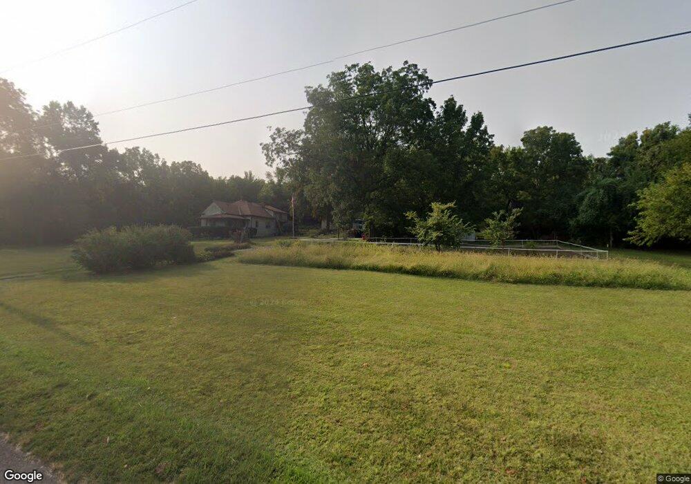
21411 E R D Mize Rd Independence, MO 64057
Little Blue NeighborhoodEstimated Value: $448,335 - $614,000
4
Beds
4
Baths
3,244
Sq Ft
$155/Sq Ft
Est. Value
About This Home
This home is located at 21411 E R D Mize Rd, Independence, MO 64057 and is currently estimated at $504,084, approximately $155 per square foot. 21411 E R D Mize Rd is a home located in Jackson County with nearby schools including James Lewis Elementary School, Brittany Hill Middle School, and Blue Springs High School.
Ownership History
Date
Name
Owned For
Owner Type
Purchase Details
Closed on
Feb 15, 2020
Sold by
Cates Ted and Cates Ruth
Bought by
Cates Ted A and Cates Ruth M
Current Estimated Value
Home Financials for this Owner
Home Financials are based on the most recent Mortgage that was taken out on this home.
Original Mortgage
$146,520
Outstanding Balance
$129,733
Interest Rate
3.6%
Mortgage Type
FHA
Estimated Equity
$374,351
Purchase Details
Closed on
Dec 15, 2010
Sold by
Holman Sadie M and Johnson Donna M
Bought by
Cates Ted and Cates Ruth
Home Financials for this Owner
Home Financials are based on the most recent Mortgage that was taken out on this home.
Original Mortgage
$90,000
Interest Rate
4.24%
Mortgage Type
Future Advance Clause Open End Mortgage
Create a Home Valuation Report for This Property
The Home Valuation Report is an in-depth analysis detailing your home's value as well as a comparison with similar homes in the area
Home Values in the Area
Average Home Value in this Area
Purchase History
| Date | Buyer | Sale Price | Title Company |
|---|---|---|---|
| Cates Ted A | -- | None Available | |
| Cates Ted | -- | First American Title Ins Co |
Source: Public Records
Mortgage History
| Date | Status | Borrower | Loan Amount |
|---|---|---|---|
| Open | Cates Ted A | $146,520 | |
| Closed | Cates Ted | $90,000 |
Source: Public Records
Tax History
| Year | Tax Paid | Tax Assessment Tax Assessment Total Assessment is a certain percentage of the fair market value that is determined by local assessors to be the total taxable value of land and additions on the property. | Land | Improvement |
|---|---|---|---|---|
| 2025 | $2,978 | $45,732 | $11,714 | $34,018 |
| 2024 | $2,916 | $43,406 | $24,360 | $19,046 |
| 2023 | $2,916 | $43,406 | $24,360 | $19,046 |
| 2022 | $2,655 | $34,580 | $7,610 | $26,970 |
| 2021 | $2,654 | $34,580 | $7,610 | $26,970 |
| 2020 | $2,362 | $30,326 | $7,610 | $22,716 |
| 2019 | $2,283 | $30,326 | $7,610 | $22,716 |
| 2018 | $2,174 | $28,021 | $5,737 | $22,284 |
| 2016 | $2,111 | $27,318 | $7,858 | $19,460 |
Source: Public Records
Map
Nearby Homes
- 3331 S Saddle Ridge Ct
- 21310 E 34th St S
- 21805 E 32nd Terrace S
- 21708 E Eureka Rd
- 3224 S Cardinal Ct
- 21304 E 37th Terrace Ct S
- 22504 E 33rd Street Ct S
- 22513 E 33rd Street Ct S
- 20913 E 37th Terrace Ct S
- 3403 S R D Mize Rd
- 22804 E 29th Street Lane Ct S
- 22600 E 27th St S
- 22906 E Ashford Ct
- 2433 NW Sunnyvale Ct
- 2210 NW R D Mize Rd
- 4013 NW Sol Dr
- 2916 Sweet Briar Dr
- 2961 Iva Dr
- 3700 NW Hidden Pointe Dr
- 2944 Iva Ct Unit S
- 21421 E 32nd Terrace S
- 3311 Saddle Ridge Ct
- 3310 Saddle Ridge Ct
- 21425 E 32nd Terrace S
- 21513 E 32nd Terrace S
- 3310 S Saddle Ridge Ct
- 21509 E 32nd Terrace S
- 21517 E 32nd Terrace S
- 21501 E 32nd Terrace S
- 3321 Saddle Ridge Ct
- 21505 E 32nd Terrace S
- 21413 E 32nd Terrace S
- 3220 S Mize Ridge Ct
- 3320 Saddle Ridge Ct
- 3224 S Mize Ridge Ct
- 21409 E 32nd Terrace S
- 21609 E 32nd Terrace S
- 21400 E 34th St S
- 21500 E 32nd Terrace S
- 21418 E 32nd Ter S N A
Your Personal Tour Guide
Ask me questions while you tour the home.