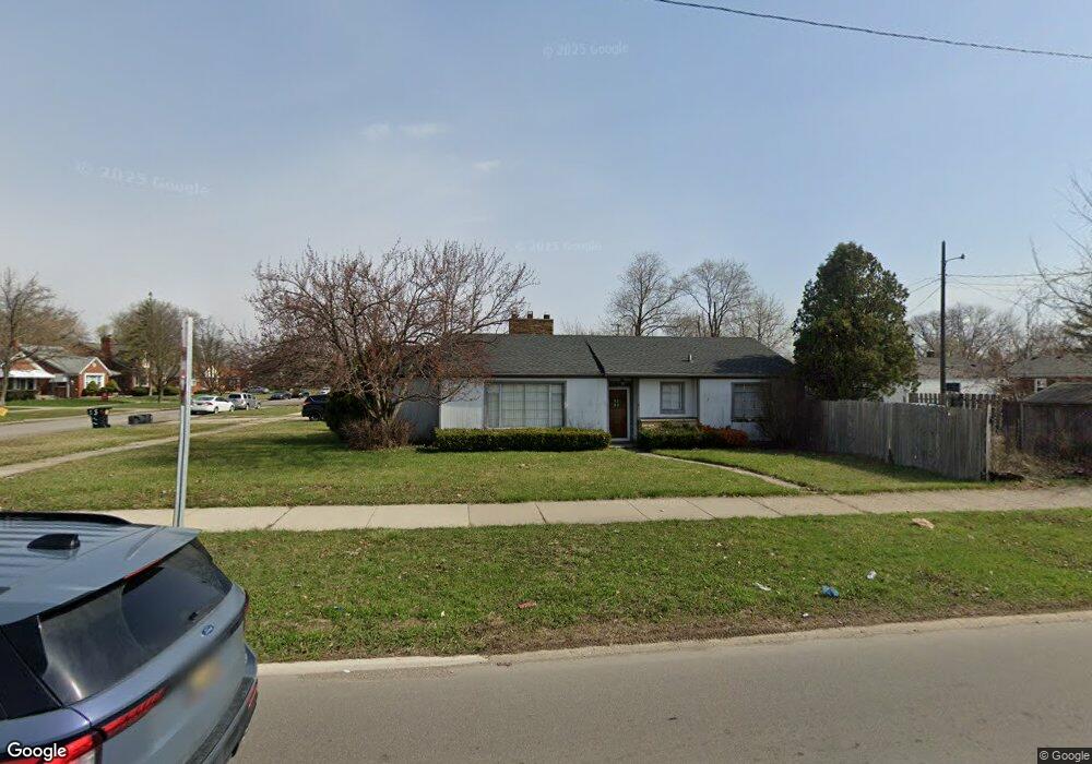
21411 Moross Rd Grosse Pointe, MI 48236
Cornerstone Village NeighborhoodEstimated Value: $85,000 - $177,000
2
Beds
1
Bath
1,512
Sq Ft
$95/Sq Ft
Est. Value
About This Home
This home is located at 21411 Moross Rd, Grosse Pointe, MI 48236 and is currently estimated at $143,239, approximately $94 per square foot. 21411 Moross Rd is a home located in Wayne County with nearby schools including Marquette Elementary-Middle School, Edward 'Duke' Ellington Conservatory of Music and Art, and Charles L. Spain Elementary-Middle School.
Ownership History
Date
Name
Owned For
Owner Type
Purchase Details
Closed on
Apr 3, 2008
Sold by
Mcnair Phillip
Bought by
Mcnair Phillip
Current Estimated Value
Purchase Details
Closed on
Mar 11, 2008
Sold by
Wm Specialty Mortgage Llc
Bought by
Mcnair Phillip
Purchase Details
Closed on
Jun 21, 2007
Sold by
Wilson Victor
Bought by
Wm Specialty Mortgage Llc
Purchase Details
Closed on
Dec 17, 2003
Sold by
Briggs Joseph and Briggs Corey
Bought by
Wilson Victor
Create a Home Valuation Report for This Property
The Home Valuation Report is an in-depth analysis detailing your home's value as well as a comparison with similar homes in the area
Home Values in the Area
Average Home Value in this Area
Purchase History
| Date | Buyer | Sale Price | Title Company |
|---|---|---|---|
| Mcnair Phillip | -- | None Available | |
| Mcnair Phillip | $15,000 | Attorneys Title Agency | |
| Wm Specialty Mortgage Llc | $111,487 | None Available | |
| Wilson Victor | $115,000 | Tri-County Title Agency Inc |
Source: Public Records
Tax History
| Year | Tax Paid | Tax Assessment Tax Assessment Total Assessment is a certain percentage of the fair market value that is determined by local assessors to be the total taxable value of land and additions on the property. | Land | Improvement |
|---|---|---|---|---|
| 2025 | $1,112 | $48,500 | $0 | $0 |
| 2024 | $1,122 | $41,300 | $0 | $0 |
| 2023 | $1,088 | $30,800 | $0 | $0 |
| 2022 | $1,188 | $26,200 | $0 | $0 |
| 2021 | $1,159 | $20,700 | $0 | $0 |
| 2020 | $1,147 | $18,600 | $0 | $0 |
| 2019 | $1,130 | $15,800 | $0 | $0 |
| 2018 | $967 | $13,400 | $0 | $0 |
| 2017 | $230 | $13,700 | $0 | $0 |
| 2016 | $1,089 | $14,100 | $0 | $0 |
| 2015 | $1,410 | $14,100 | $0 | $0 |
| 2013 | $2,008 | $20,084 | $0 | $0 |
| 2010 | -- | $29,445 | $2,013 | $27,432 |
Source: Public Records
Map
Nearby Homes
- 19196 Berden St
- 6300 Radnor St
- 6144 Radnor St
- 6306 Farmbrook St
- 21756 Moross Rd
- 6137 Radnor St
- 6166 Farmbrook St
- 21228 Newcastle Rd
- 18959 Rockcastle St
- 21602 Newcastle Rd
- 21820 Moross Rd
- 19217 Linville St
- 21741 Bournemouth St
- 6301 Lodewyck St
- 17817 Chester St
- 21315 Prestwick Ave
- 8850 Farmbrook St
- 5951 Radnor St
- 21970 Moross Rd
- 19277 Raymond St
- 19126 Chester St
- 19130 Chester St Unit Bldg-Unit
- 19130 Chester St
- 19107 Mallina St
- 19117 Mallina St
- 19123 Mallina St
- 19137 Mallina St
- 19140 Chester St
- 19140 Chester St
- 19129 Mallina St
- 19143 Mallina St
- 21335 Moross Rd
- 19148 Chester St
- 19123 Chester St
- 19156 Chester St
- 19135 Chester St
- 19151 Mallina St
- 21440 Moross Rd
- 21305 Moross Rd
- 19141 Chester St