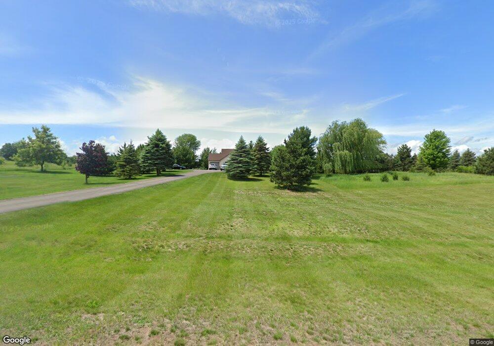
2142 62nd St Somerset, WI 54025
Estimated Value: $467,000 - $567,228
4
Beds
3
Baths
2,984
Sq Ft
$170/Sq Ft
Est. Value
About This Home
This home is located at 2142 62nd St, Somerset, WI 54025 and is currently estimated at $507,807, approximately $170 per square foot. 2142 62nd St is a home located in St. Croix County with nearby schools including Somerset Elementary School, Somerset Middle School, and Somerset High School.
Ownership History
Date
Name
Owned For
Owner Type
Purchase Details
Closed on
Feb 21, 2022
Sold by
Zaspel Michael and Zaspel Dionne M
Bought by
Zaspel Michael and Zaspel Dionne M
Current Estimated Value
Home Financials for this Owner
Home Financials are based on the most recent Mortgage that was taken out on this home.
Original Mortgage
$175,000
Outstanding Balance
$139,543
Interest Rate
2.77%
Mortgage Type
New Conventional
Estimated Equity
$368,264
Purchase Details
Closed on
Oct 22, 2010
Sold by
Nehr Richard R and Nehr Karen M
Bought by
Zaspel Michael
Home Financials for this Owner
Home Financials are based on the most recent Mortgage that was taken out on this home.
Original Mortgage
$179,302
Interest Rate
4.25%
Mortgage Type
FHA
Purchase Details
Closed on
May 24, 2005
Sold by
Germain Michael J and Germain Michelle M
Bought by
Nehr Richard R and Nehr Karen M
Home Financials for this Owner
Home Financials are based on the most recent Mortgage that was taken out on this home.
Original Mortgage
$237,400
Interest Rate
5.91%
Mortgage Type
Future Advance Clause Open End Mortgage
Create a Home Valuation Report for This Property
The Home Valuation Report is an in-depth analysis detailing your home's value as well as a comparison with similar homes in the area
Home Values in the Area
Average Home Value in this Area
Purchase History
| Date | Buyer | Sale Price | Title Company |
|---|---|---|---|
| Zaspel Michael | -- | Land Title | |
| Zaspel Michael | $181,800 | Land Title Inc | |
| Nehr Richard R | $249,900 | None Available |
Source: Public Records
Mortgage History
| Date | Status | Borrower | Loan Amount |
|---|---|---|---|
| Open | Zaspel Michael | $175,000 | |
| Previous Owner | Zaspel Michael | $179,302 | |
| Previous Owner | Nehr Richard R | $237,400 |
Source: Public Records
Tax History Compared to Growth
Tax History
| Year | Tax Paid | Tax Assessment Tax Assessment Total Assessment is a certain percentage of the fair market value that is determined by local assessors to be the total taxable value of land and additions on the property. | Land | Improvement |
|---|---|---|---|---|
| 2024 | $37 | $375,300 | $90,200 | $285,100 |
| 2023 | $3,907 | $375,300 | $90,200 | $285,100 |
| 2022 | $3,725 | $375,300 | $90,200 | $285,100 |
| 2021 | $3,723 | $252,400 | $55,200 | $197,200 |
| 2020 | $3,741 | $252,400 | $55,200 | $197,200 |
| 2019 | $3,433 | $252,400 | $55,200 | $197,200 |
| 2018 | $3,377 | $252,400 | $55,200 | $197,200 |
| 2017 | $3,438 | $252,400 | $55,200 | $197,200 |
| 2016 | $3,438 | $205,000 | $25,200 | $179,800 |
| 2015 | $3,291 | $205,000 | $25,200 | $179,800 |
| 2014 | $3,125 | $205,000 | $25,200 | $179,800 |
| 2013 | $3,136 | $205,000 | $25,200 | $179,800 |
Source: Public Records
Map
Nearby Homes
- 2136 62nd St
- 6XX 205th Ave
- 1986 57th St
- 462 210th Ave
- 1932 64th St
- 2113 80th St
- Lot #1 xxx 74th St
- Lot #19 xxx 74th St
- Lot #14 xxx 74th St
- 357 Harriman St
- 315 Harriman St
- 481 Martin Way
- 413 210th Ave
- 441 Charles Ln
- 316 Evergreen Dr
- 441 White Pine Ln
- 206 Red Pine Dr
- The Rockport Plan at Pine Vale
- The Newport Plan at Pine Vale
- The Brook View Plan at Pine Vale