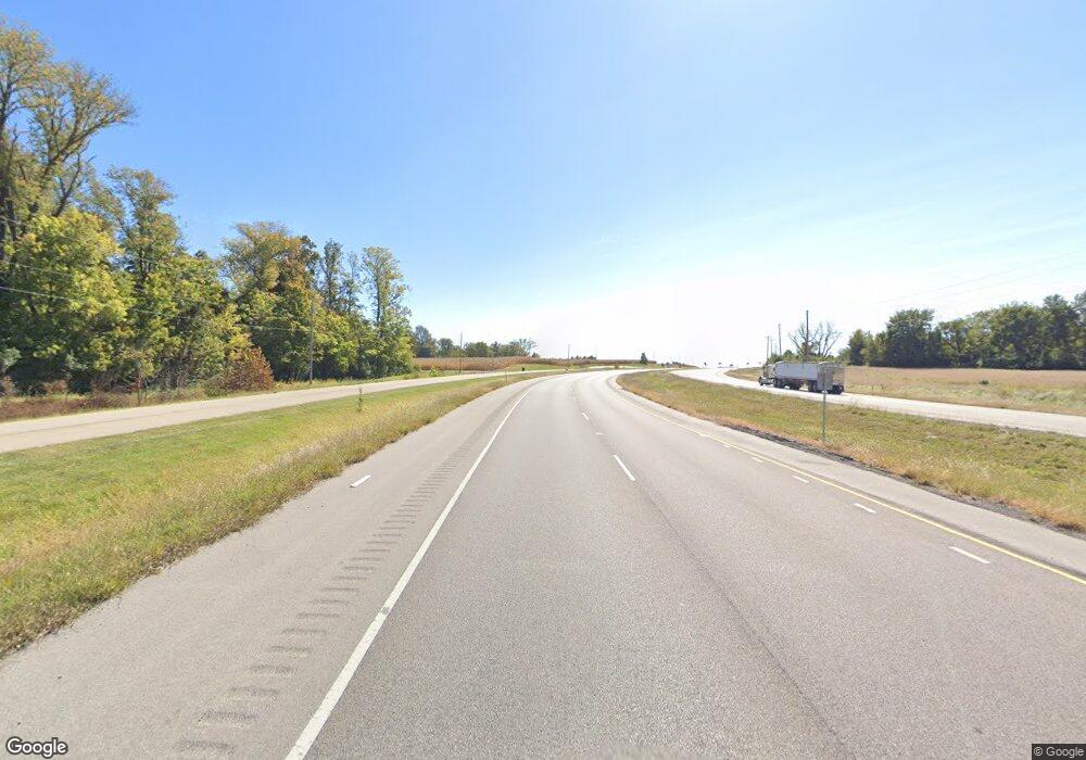
2142 E State Route 15 Belleville, IL 62221
Estimated Value: $309,884 - $408,000
--
Bed
--
Bath
1,934
Sq Ft
$180/Sq Ft
Est. Value
About This Home
This home is located at 2142 E State Route 15, Belleville, IL 62221 and is currently estimated at $347,721, approximately $179 per square foot. 2142 E State Route 15 is a home located in St. Clair County with nearby schools including Freeburg Elementary School, Freeburg Community High School, and St. Joseph Catholic School.
Ownership History
Date
Name
Owned For
Owner Type
Purchase Details
Closed on
Apr 2, 2005
Sold by
Wright Benny J and Mohr Wright Juanita M
Bought by
People Of The State Of Illinois
Current Estimated Value
Purchase Details
Closed on
Jun 28, 2002
Sold by
Harter Mary Beth
Bought by
Wright Benny J and Mohr Wright Juanita A
Home Financials for this Owner
Home Financials are based on the most recent Mortgage that was taken out on this home.
Original Mortgage
$149,900
Interest Rate
6.93%
Mortgage Type
VA
Create a Home Valuation Report for This Property
The Home Valuation Report is an in-depth analysis detailing your home's value as well as a comparison with similar homes in the area
Home Values in the Area
Average Home Value in this Area
Purchase History
| Date | Buyer | Sale Price | Title Company |
|---|---|---|---|
| People Of The State Of Illinois | $27,000 | -- | |
| Wright Benny J | $150,000 | First American Title Insuran |
Source: Public Records
Mortgage History
| Date | Status | Borrower | Loan Amount |
|---|---|---|---|
| Previous Owner | Wright Benny J | $149,900 |
Source: Public Records
Tax History Compared to Growth
Tax History
| Year | Tax Paid | Tax Assessment Tax Assessment Total Assessment is a certain percentage of the fair market value that is determined by local assessors to be the total taxable value of land and additions on the property. | Land | Improvement |
|---|---|---|---|---|
| 2024 | -- | $87,216 | $11,040 | $76,176 |
| 2023 | -- | $82,812 | $9,290 | $73,522 |
| 2022 | $0 | $77,597 | $8,705 | $68,892 |
| 2021 | $0 | $73,053 | $8,195 | $64,858 |
| 2020 | $0 | $66,459 | $7,455 | $59,004 |
| 2019 | $0 | $65,917 | $9,065 | $56,852 |
| 2018 | $0 | $65,045 | $8,945 | $56,100 |
| 2017 | $0 | $62,191 | $8,553 | $53,638 |
| 2016 | $0 | $59,604 | $8,197 | $51,407 |
| 2014 | $4,276 | $58,224 | $8,411 | $49,813 |
| 2013 | $3,978 | $57,705 | $8,336 | $49,369 |
Source: Public Records
Map
Nearby Homes
- 520 N Edison St
- 440 Foxtail Dr
- 302 N Railroad St
- 433 Foxtail Dr
- 420 Foxtail Dr
- 401 N Edison St
- 421 Foxtail Dr
- 206 N Main St
- 207 N Edison St
- 2917 18th Fairway Dr
- 4 N West St
- 363 Sleeping Indian Dr
- 359 Sleeping Indian Dr
- 3225 Margaret Mary Ln
- 1609 10th Fairway Dr
- 1514 Orchard Lakes Cir
- 304 Torrington Ln
- 222 Alamosa Dr
- 106 S Vine St
- Bristol Villa Plan at Orchard Lakes
- 2134 E State Route 15
- 2130 E State Route 15
- 3245 Arrow Ln
- 3209 Arrow Ln
- 2268 E State Route 15
- 2061 E State Route 15
- 3400 Twelve Oaks Ln
- 3435 Borderline Dr
- 6467 White Oaks Club Rd
- 2219 E State Route 15
- 2235 E State Route 15
- 7050 Turf Ln
- 7046 Turf Ln
- 7150 Turf Ln
- 7140 Turf Ln
- 3810 Old Freeburg Rd
- 1875 E State Route 15
- 1885 E State Route 15
- 6401 White Oaks Club Rd
- 7709 Kamper Cottage Ln
