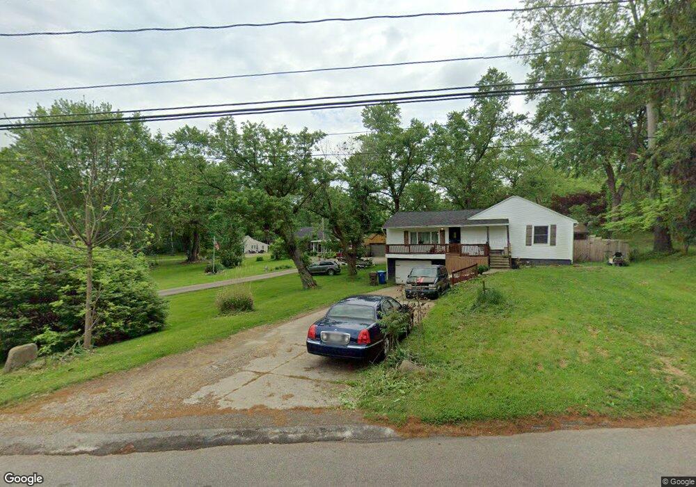
2142 Mccoy Rd Norton, OH 44203
North Barberton NeighborhoodEstimated Value: $197,338 - $236,000
3
Beds
1
Bath
1,434
Sq Ft
$150/Sq Ft
Est. Value
About This Home
This home is located at 2142 Mccoy Rd, Norton, OH 44203 and is currently estimated at $215,585, approximately $150 per square foot. 2142 Mccoy Rd is a home located in Summit County with nearby schools including Norton Primary Elementary School, Norton Middle School, and Norton High School.
Ownership History
Date
Name
Owned For
Owner Type
Purchase Details
Closed on
Apr 26, 2006
Sold by
Jeffers Sanford W and Jeffers Debra J
Bought by
Kahn Marc and Jeffers Kahn Jamie
Current Estimated Value
Purchase Details
Closed on
Jun 3, 2005
Sold by
Pharris Shirley L and Weese Terrance J
Bought by
Jeffers Sanford W and Jeffers Debra J
Home Financials for this Owner
Home Financials are based on the most recent Mortgage that was taken out on this home.
Original Mortgage
$96,800
Outstanding Balance
$52,504
Interest Rate
6.37%
Mortgage Type
Fannie Mae Freddie Mac
Estimated Equity
$163,081
Purchase Details
Closed on
Jul 15, 2002
Sold by
Pharris Shirley L
Bought by
Weese Terrance J
Create a Home Valuation Report for This Property
The Home Valuation Report is an in-depth analysis detailing your home's value as well as a comparison with similar homes in the area
Home Values in the Area
Average Home Value in this Area
Purchase History
| Date | Buyer | Sale Price | Title Company |
|---|---|---|---|
| Kahn Marc | -- | None Available | |
| Jeffers Sanford W | $121,000 | Majestic Title Agency Llc | |
| Weese Terrance J | $27,000 | -- |
Source: Public Records
Mortgage History
| Date | Status | Borrower | Loan Amount |
|---|---|---|---|
| Open | Jeffers Sanford W | $96,800 | |
| Closed | Jeffers Sanford W | $24,200 |
Source: Public Records
Tax History
| Year | Tax Paid | Tax Assessment Tax Assessment Total Assessment is a certain percentage of the fair market value that is determined by local assessors to be the total taxable value of land and additions on the property. | Land | Improvement |
|---|---|---|---|---|
| 2024 | $2,140 | $51,440 | $8,978 | $42,462 |
| 2023 | $2,140 | $51,440 | $8,978 | $42,462 |
| 2022 | $2,255 | $45,213 | $7,875 | $37,338 |
| 2021 | $2,266 | $45,213 | $7,875 | $37,338 |
| 2020 | $2,141 | $45,220 | $7,880 | $37,340 |
| 2019 | $1,958 | $36,740 | $7,640 | $29,100 |
| 2018 | $1,925 | $36,740 | $7,640 | $29,100 |
| 2017 | $2,034 | $36,740 | $7,640 | $29,100 |
| 2016 | $2,034 | $35,560 | $7,640 | $27,920 |
| 2015 | $2,034 | $35,560 | $7,640 | $27,920 |
| 2014 | $2,015 | $35,560 | $7,640 | $27,920 |
| 2013 | $1,998 | $35,630 | $7,640 | $27,990 |
Source: Public Records
Map
Nearby Homes
- 2025 Mcgowan Rd
- 1974 Newton Ave
- 266 Hazelwood Ave
- 2160 Ingersoll Dr
- 172 & 173 Belcher Ave
- 1304 Kellogg Ave
- 197 W State St Unit 182
- 1289 Harpster Ave
- 174 Yonker St
- 0 Romig Ave
- 52 Norwood St
- 2248 East Ave
- 2242 East Ave
- 76 Hazelwood Ave
- 1244 Florida Ave
- 1223 Florida Ave
- 1284 Kentucky Ave
- 2226 26th St SW
- 2387 29th St SW Unit 2389
- 162 Mitchell St
Your Personal Tour Guide
Ask me questions while you tour the home.