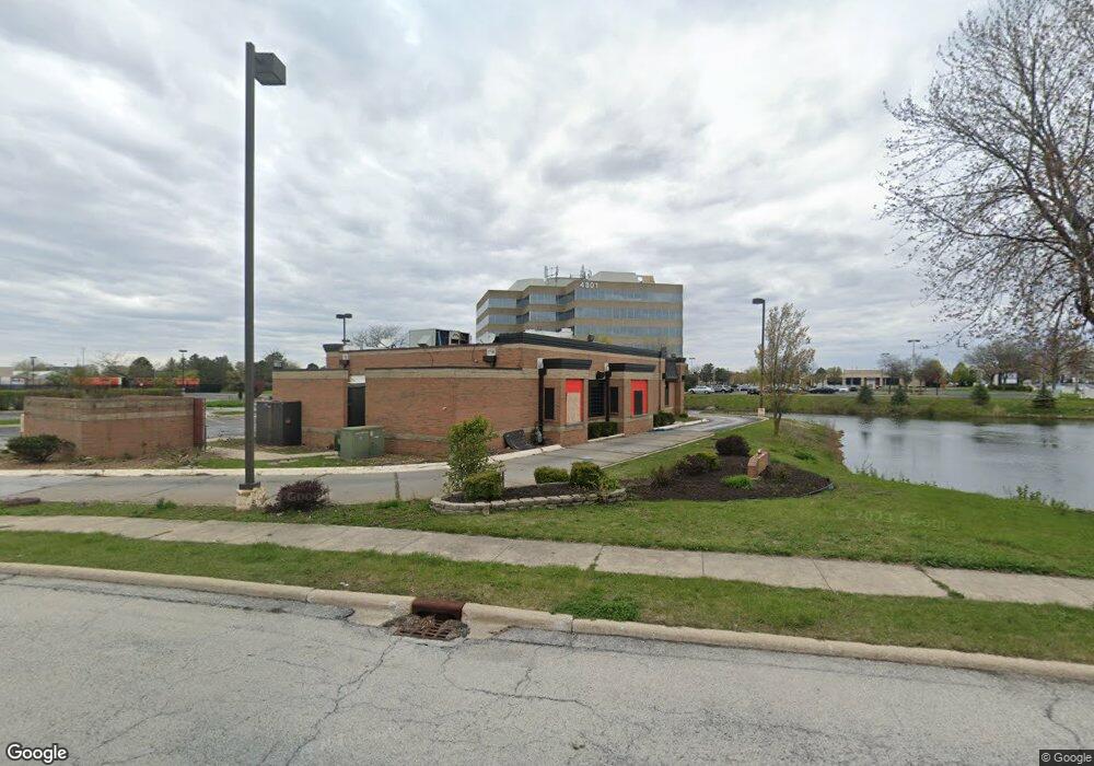
21420 S Cicero Ave Matteson, IL 60443
Old Matteson NeighborhoodEstimated Value: $554,571
--
Bed
--
Bath
3,374
Sq Ft
$164/Sq Ft
Est. Value
About This Home
This home is located at 21420 S Cicero Ave, Matteson, IL 60443 and is currently priced at $554,571, approximately $164 per square foot. 21420 S Cicero Ave is a home located in Cook County with nearby schools including Colin Powell Middle School and Southland College Prep.
Ownership History
Date
Name
Owned For
Owner Type
Purchase Details
Closed on
Dec 5, 2022
Sold by
Wendys Properties Llc
Bought by
Delani Construction Llc
Current Estimated Value
Home Financials for this Owner
Home Financials are based on the most recent Mortgage that was taken out on this home.
Original Mortgage
$251,250
Interest Rate
6.27%
Mortgage Type
Credit Line Revolving
Purchase Details
Closed on
Jun 1, 2015
Sold by
Wendys Old Fashioned Hamburgers Of New Y
Bought by
Wendys Properties Llc
Purchase Details
Closed on
Jul 31, 2007
Sold by
Delavest Inc
Bought by
Wendys Old Fashioned Hamburgers Of New Y
Create a Home Valuation Report for This Property
The Home Valuation Report is an in-depth analysis detailing your home's value as well as a comparison with similar homes in the area
Home Values in the Area
Average Home Value in this Area
Purchase History
| Date | Buyer | Sale Price | Title Company |
|---|---|---|---|
| Delani Construction Llc | $335,000 | Fidelity National Title | |
| Wendys Properties Llc | -- | None Available | |
| Wendys Old Fashioned Hamburgers Of New Y | -- | None Available |
Source: Public Records
Mortgage History
| Date | Status | Borrower | Loan Amount |
|---|---|---|---|
| Previous Owner | Delani Construction Llc | $251,250 |
Source: Public Records
Tax History Compared to Growth
Tax History
| Year | Tax Paid | Tax Assessment Tax Assessment Total Assessment is a certain percentage of the fair market value that is determined by local assessors to be the total taxable value of land and additions on the property. | Land | Improvement |
|---|---|---|---|---|
| 2024 | $36,822 | $88,830 | $32,670 | $56,160 |
| 2023 | $66,214 | $88,830 | $32,670 | $56,160 |
| 2022 | $66,214 | $123,669 | $81,675 | $41,994 |
| 2021 | $66,833 | $123,668 | $81,675 | $41,993 |
| 2020 | $64,582 | $123,668 | $81,675 | $41,993 |
| 2019 | $80,677 | $147,659 | $76,230 | $71,429 |
| 2018 | $79,504 | $147,659 | $76,230 | $71,429 |
| 2017 | $77,305 | $147,659 | $76,230 | $71,429 |
| 2016 | $75,965 | $146,793 | $70,785 | $76,008 |
| 2015 | $74,591 | $146,793 | $70,785 | $76,008 |
| 2014 | $72,566 | $146,793 | $70,785 | $76,008 |
| 2013 | $63,255 | $137,499 | $70,785 | $66,714 |
Source: Public Records
Map
Nearby Homes
- 5228 Southwick Ct Unit 2
- 4613 Lindenwood Ct
- 111 Echelon Cir
- 858 Academy Ave
- 4200 Washington Ave
- 820 School Ave
- 4335 Lindenwood Dr
- 4329 Applewood Ln
- 4325 Oakwood Ln
- 21943 E Churchill Dr
- 4443 Ascot Ct
- 5017 Harbor Ln
- 5503 Georgetown Dr
- 4700 Salem Ct
- 4228 Applewood Ln
- 663 Primrose Ln
- 856 Notre Dame Dr
- 22119 Hillside Dr
- 4720 Laurel Dr
- 22140 Schaaf Ct
- 4721 Lincoln Mall Dr
- 4818 Southwick Dr
- 5043 Bennett St
- 4993 Bennett St
- 5002 Bennett St
- 200 Town Center Rd
- 4801 Southwick Dr
- 200 Lincoln Mall Dr
- 600 Holiday Plaza Dr
- 5205 Mayfair Ln
- 5200 Mayfair Ln
- 5201 Mayfair Ln
- 5-13 Southwick Dr
- 5226 Southwick Ct Unit F
- 5227 Southwick Ct
- 600 Town Center Rd
- 5208 Mayfair Ln
- 5202 Bloomsbury Ln
- 5207 Bloomsbury Ln
- 5229 Southwick Ct Unit 1