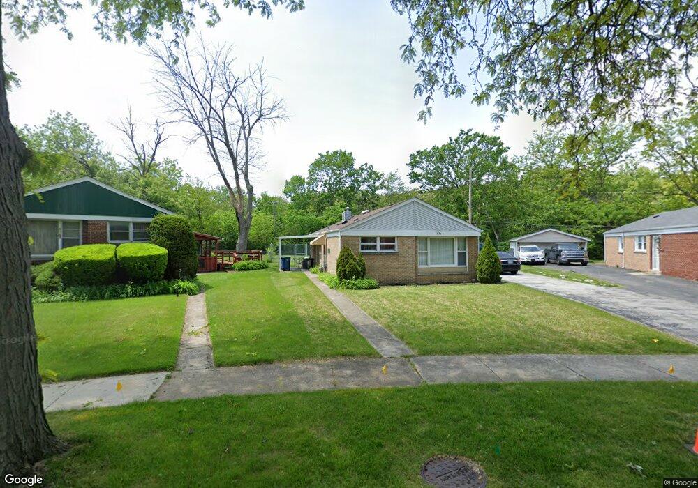
21426 S Jeffrey Dr Matteson, IL 60443
Old Matteson NeighborhoodEstimated Value: $180,000 - $212,000
2
Beds
1
Bath
1,067
Sq Ft
$178/Sq Ft
Est. Value
About This Home
This home is located at 21426 S Jeffrey Dr, Matteson, IL 60443 and is currently estimated at $190,186, approximately $178 per square foot. 21426 S Jeffrey Dr is a home located in Cook County with nearby schools including Illinois School, Matteson Elementary School, and Sauk Elementary School.
Ownership History
Date
Name
Owned For
Owner Type
Purchase Details
Closed on
Dec 15, 2017
Sold by
Whittington Lynda and Entsminger John R
Bought by
Eubanks Queshonya
Current Estimated Value
Home Financials for this Owner
Home Financials are based on the most recent Mortgage that was taken out on this home.
Original Mortgage
$70,125
Outstanding Balance
$60,398
Interest Rate
4.87%
Mortgage Type
New Conventional
Estimated Equity
$129,788
Create a Home Valuation Report for This Property
The Home Valuation Report is an in-depth analysis detailing your home's value as well as a comparison with similar homes in the area
Home Values in the Area
Average Home Value in this Area
Purchase History
| Date | Buyer | Sale Price | Title Company |
|---|---|---|---|
| Eubanks Queshonya | $75,000 | Fidelity National Title |
Source: Public Records
Mortgage History
| Date | Status | Borrower | Loan Amount |
|---|---|---|---|
| Open | Eubanks Queshonya | $70,125 |
Source: Public Records
Tax History Compared to Growth
Tax History
| Year | Tax Paid | Tax Assessment Tax Assessment Total Assessment is a certain percentage of the fair market value that is determined by local assessors to be the total taxable value of land and additions on the property. | Land | Improvement |
|---|---|---|---|---|
| 2024 | $4,416 | $12,549 | $2,882 | $9,667 |
| 2023 | $2,062 | $14,000 | $2,882 | $11,118 |
| 2022 | $2,062 | $7,475 | $2,522 | $4,953 |
| 2021 | $2,140 | $7,221 | $2,521 | $4,700 |
| 2020 | $2,098 | $7,221 | $2,521 | $4,700 |
| 2019 | $2,345 | $7,960 | $2,341 | $5,619 |
| 2018 | $1,835 | $6,982 | $2,341 | $4,641 |
| 2017 | $3,954 | $7,960 | $2,341 | $5,619 |
| 2016 | $4,023 | $8,182 | $2,161 | $6,021 |
| 2015 | $3,988 | $8,182 | $2,161 | $6,021 |
| 2014 | $1,784 | $8,182 | $2,161 | $6,021 |
| 2013 | $1,989 | $9,115 | $2,161 | $6,954 |
Source: Public Records
Map
Nearby Homes
- 3919 214th St
- 3865 216th St
- 3809 215th St
- 3817 216th Place
- 3727 214th Place Unit 2
- 4200 Washington Ave
- 3704 215th St Unit 205
- 3712 214th St
- 21829 Richton Rd
- 21142 Locust St
- 3718 211th Place
- 21607 Main St
- 21209 Oak St
- 3704 Linden Rd
- 4083 Appleby Ct
- 5013 Euclid Ln
- 831 Violet Ln
- 4110 Applewood Ln
- 4108 Applewood Ln
- 820 Exmoor Rd
- 21422 S Jeffrey Dr
- 3941 214th Place
- 21418 S Jeffrey Dr
- 3937 214th Place
- 3933 214th Place
- 21414 S Jeffrey Dr
- 3928 214th Place
- 21419 S Jeffrey Dr
- 3929 214th Place
- 21410 S Jeffrey Dr
- 21417 S Jeffrey Dr
- 3923 214th Place
- 21413 S Jeffrey Dr
- 21408 S Jeffrey Dr
- 3920 214th Place Unit 1
- 21420 S Jean Ave
- 21411 S Jeffrey Dr
- 3919 214th Place
- 21416 S Jean Ave
- 21404 S Jeffrey Dr