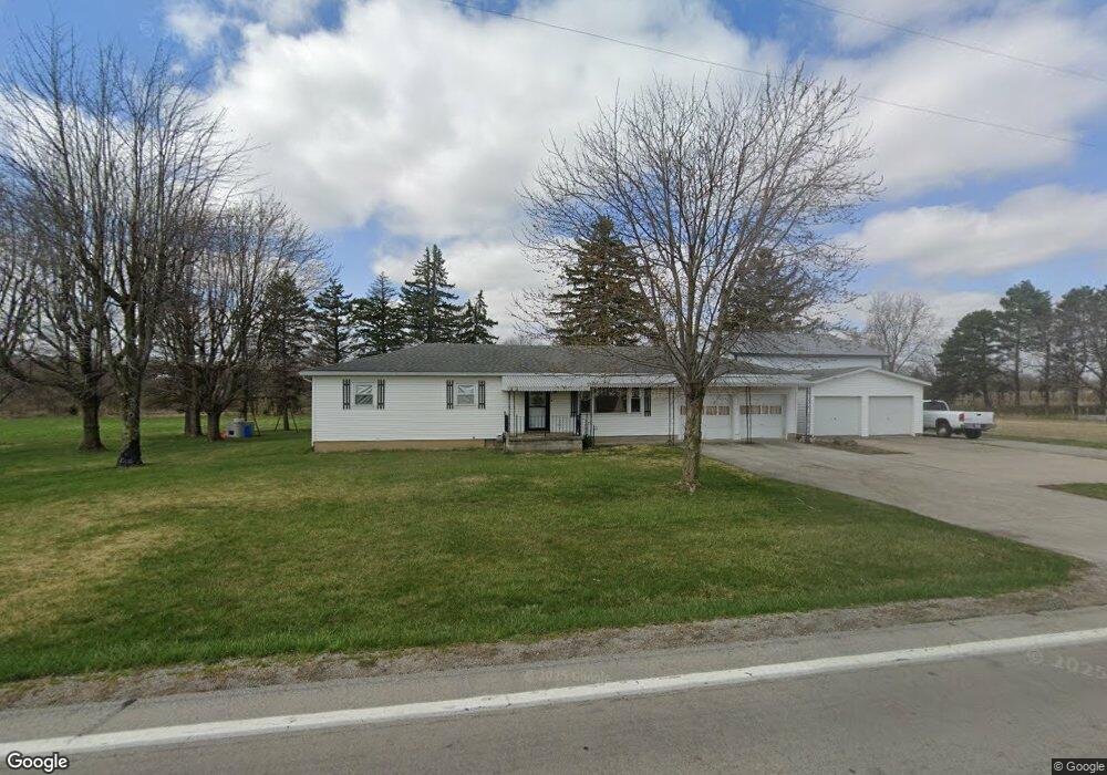
21426 State Route 190 Delphos, OH 45833
Estimated Value: $144,000 - $238,591
3
Beds
2
Baths
1,344
Sq Ft
$134/Sq Ft
Est. Value
About This Home
This home is located at 21426 State Route 190, Delphos, OH 45833 and is currently estimated at $180,398, approximately $134 per square foot. 21426 State Route 190 is a home located in Putnam County with nearby schools including Fort Jennings Elementary School, Fort Jennings High School, and Delphos St. John's Elementary School.
Ownership History
Date
Name
Owned For
Owner Type
Purchase Details
Closed on
Feb 12, 2019
Sold by
Cross Laurita J and Hemker Kenneth G
Bought by
Hemker Jason P
Current Estimated Value
Home Financials for this Owner
Home Financials are based on the most recent Mortgage that was taken out on this home.
Original Mortgage
$30,000
Outstanding Balance
$11,795
Interest Rate
4.5%
Mortgage Type
Future Advance Clause Open End Mortgage
Estimated Equity
$168,603
Purchase Details
Closed on
Feb 15, 2012
Sold by
Hemker Paul J
Bought by
Hemker Paul J and The Paul J Hemker Revocable Living Trust
Purchase Details
Closed on
Feb 13, 2012
Sold by
Estate Of Rita R Hemker
Bought by
Hemker Paul J
Create a Home Valuation Report for This Property
The Home Valuation Report is an in-depth analysis detailing your home's value as well as a comparison with similar homes in the area
Home Values in the Area
Average Home Value in this Area
Purchase History
| Date | Buyer | Sale Price | Title Company |
|---|---|---|---|
| Hemker Jason P | $10,000 | None Available | |
| Hemker Paul J | -- | Attorney | |
| Hemker Paul J | -- | None Available |
Source: Public Records
Mortgage History
| Date | Status | Borrower | Loan Amount |
|---|---|---|---|
| Open | Hemker Jason P | $30,000 |
Source: Public Records
Tax History Compared to Growth
Tax History
| Year | Tax Paid | Tax Assessment Tax Assessment Total Assessment is a certain percentage of the fair market value that is determined by local assessors to be the total taxable value of land and additions on the property. | Land | Improvement |
|---|---|---|---|---|
| 2024 | $1,708 | $57,970 | $3,960 | $54,010 |
| 2023 | $1,763 | $45,640 | $3,110 | $42,530 |
| 2022 | $1,532 | $45,641 | $3,112 | $42,529 |
| 2021 | $1,558 | $45,640 | $3,110 | $42,530 |
| 2020 | $1,571 | $33,130 | $2,590 | $30,540 |
| 2019 | $1,222 | $36,370 | $3,110 | $33,260 |
| 2018 | $909 | $36,370 | $3,110 | $33,260 |
| 2017 | $808 | $36,370 | $3,110 | $33,260 |
| 2016 | $808 | $33,130 | $2,590 | $30,540 |
| 2015 | $887 | $33,130 | $2,590 | $30,540 |
| 2014 | $896 | $33,130 | $2,590 | $30,540 |
| 2013 | $914 | $33,130 | $2,590 | $30,540 |
Source: Public Records
Map
Nearby Homes
- 1303 Carolyn Dr
- 1220 Rose Anna Dr
- 810 N Franklin St
- 704 N Franklin St
- 650 E 6th St
- 628 N Pierce St
- 610 N Washington St
- 914 E 3rd St
- 405 N Franklin St
- 903 E 3rd St
- 821 E 3rd St
- 604 W 6th St
- 503 W 6th St
- 210 E 3rd St
- 633 E 2nd St
- 616 W 5th St
- 409 N Bredeick St
- 221 S Main St
- 424 S Canal St
- 508 S Washington St
- 21484 State Route 190
- 21374 State Route 190
- 21499 State Route 190
- 21370 State Route 190
- 21654 State Route 190
- 21485 Road 24u
- 24533 Road U20
- 24551 Road U20
- 24486 Road U20
- 24535 Road U20
- 24444 Road U20
- 21326 Road 24u
- 21077 State Route 190
- 21608 Road 24u
- 21622 Road 24u
- 21901 State Route 190
- 24058 Road U20
- 24082 Road U20
- 24822 Road U20