21428 Highway 16 E Siloam Springs, AR 72761
Estimated Value: $513,093 - $590,000
--
Bed
2
Baths
2,625
Sq Ft
$205/Sq Ft
Est. Value
About This Home
This home is located at 21428 Highway 16 E, Siloam Springs, AR 72761 and is currently estimated at $538,523, approximately $205 per square foot. 21428 Highway 16 E is a home located in Benton County with nearby schools including Northside Elementary School, Southside Elementary School, and Delbert Pete & Pat Allen Elementary School.
Ownership History
Date
Name
Owned For
Owner Type
Purchase Details
Closed on
Mar 25, 1997
Bought by
Carpenter Tr and Carpenter Beckelhimer
Current Estimated Value
Purchase Details
Closed on
Feb 4, 1997
Bought by
Sell
Purchase Details
Closed on
Jul 8, 1994
Bought by
Re and Carpenter
Purchase Details
Closed on
Oct 10, 1990
Bought by
Carpenter Tr
Purchase Details
Closed on
Mar 17, 1976
Bought by
Carpenter Lots 7
Create a Home Valuation Report for This Property
The Home Valuation Report is an in-depth analysis detailing your home's value as well as a comparison with similar homes in the area
Home Values in the Area
Average Home Value in this Area
Purchase History
| Date | Buyer | Sale Price | Title Company |
|---|---|---|---|
| Carpenter Tr | $185,000 | -- | |
| Sell | $51,000 | -- | |
| Carpenter Tr | -- | -- | |
| Carpenter | -- | -- | |
| Re | -- | -- | |
| Carpenter Tr | -- | -- | |
| Carpenter Lots 7 | -- | -- |
Source: Public Records
Tax History Compared to Growth
Tax History
| Year | Tax Paid | Tax Assessment Tax Assessment Total Assessment is a certain percentage of the fair market value that is determined by local assessors to be the total taxable value of land and additions on the property. | Land | Improvement |
|---|---|---|---|---|
| 2025 | $3,179 | $110,400 | $5,314 | $105,086 |
| 2024 | $3,254 | $110,400 | $5,314 | $105,086 |
| 2023 | $3,254 | $74,620 | $3,070 | $71,550 |
| 2022 | $2,880 | $74,620 | $3,070 | $71,550 |
| 2021 | $2,871 | $74,620 | $3,070 | $71,550 |
| 2020 | $2,879 | $65,240 | $2,350 | $62,890 |
| 2019 | $2,879 | $65,240 | $2,350 | $62,890 |
| 2018 | $2,904 | $65,240 | $2,350 | $62,890 |
| 2017 | $2,622 | $65,240 | $2,350 | $62,890 |
| 2016 | $2,622 | $65,240 | $2,350 | $62,890 |
| 2015 | $2,822 | $54,170 | $6,910 | $47,260 |
| 2014 | $2,472 | $54,170 | $6,910 | $47,260 |
Source: Public Records
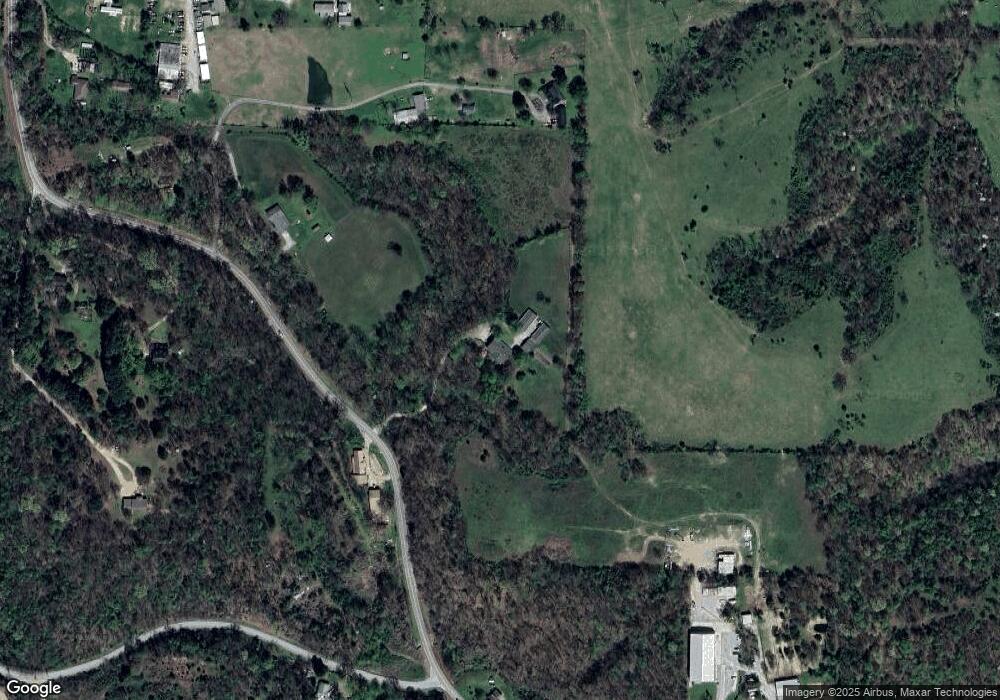
Map
Nearby Homes
- 21191 Keck Rd
- 21342 Highway 16 E
- 0 Keck Rd
- 21802 Meadow Wood Dr
- 17900 Crestwood Dr
- 3251 E Kenwood St
- 1413 E Emelyn Ln
- 1402 S Corsac St
- 3210 S Lincoln St
- 2007 E Fennec St
- 3408 S Lincoln St
- 20888 Highway 16 E
- 920 S Sparrow St
- 4108 E Razorbill Dr
- 4208 E Razorbill Dr
- 3217 E Hagen St
- RC Somerville Plan at Fox Tail
- RC Cypress Plan at Fox Tail
- RC Mitchell Plan at Fox Tail
- RC Baltimore Plan at Fox Tail
- 21427 Highway 16 E
- 20864 Highway 16 E
- 17482 Heavy Chevy Rd
- 20935 Highway 16 E
- 21344 Highway 16 E
- 20896 Highway 16 E
- 21447 Waukesha Rd
- 20945 Highway 16 E
- 17368 Heavy Chevy Rd
- 20941 Highway 16 E
- 21353 Highway 16 E
- 16 Hook Dr
- 21343 Highway 16 E
- 21010 Highway 16 E
- 0 Off Hwy 16 Unit 1120439
- 0 Off Hwy 16 Unit 1120448
- 0 Off Hwy 16 Unit 1120433
- 0 Off Hwy 16 Unit 1120442
- 0 Off Hwy 16 Unit 1120437
- 3001 Waukesha Rd