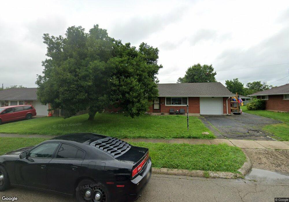
2143 Finland Dr Dayton, OH 45439
Woodbourne-Hyde Park NeighborhoodEstimated Value: $168,000 - $192,000
3
Beds
1
Bath
1,080
Sq Ft
$168/Sq Ft
Est. Value
About This Home
This home is located at 2143 Finland Dr, Dayton, OH 45439 and is currently estimated at $180,921, approximately $167 per square foot. 2143 Finland Dr is a home located in Montgomery County with nearby schools including West Carrollton High School, Miami Valley Academies, and St. Albert the Great Catholic School.
Ownership History
Date
Name
Owned For
Owner Type
Purchase Details
Closed on
Feb 8, 2022
Sold by
Magdalene Boyer Candace
Bought by
Mak Zooz Llc
Current Estimated Value
Purchase Details
Closed on
Nov 30, 2021
Sold by
Boyer Candace Magdaline
Bought by
Boyer Candace and Bowman Michael
Purchase Details
Closed on
Jan 22, 2001
Sold by
Norris Lillian A Tr
Bought by
Boyer Candace Magdalene
Purchase Details
Closed on
Oct 28, 1997
Sold by
Norris Lillian A Tr and Harry E
Bought by
Norris Lillian A and Nolte Darla Lee
Create a Home Valuation Report for This Property
The Home Valuation Report is an in-depth analysis detailing your home's value as well as a comparison with similar homes in the area
Home Values in the Area
Average Home Value in this Area
Purchase History
| Date | Buyer | Sale Price | Title Company |
|---|---|---|---|
| Mak Zooz Llc | -- | None Listed On Document | |
| Boyer Candace | -- | None Available | |
| Boyer Candace Magdalene | -- | -- | |
| Norris Lillian A | -- | -- | |
| Norris Lillian A | -- | -- |
Source: Public Records
Tax History Compared to Growth
Tax History
| Year | Tax Paid | Tax Assessment Tax Assessment Total Assessment is a certain percentage of the fair market value that is determined by local assessors to be the total taxable value of land and additions on the property. | Land | Improvement |
|---|---|---|---|---|
| 2024 | $2,916 | $40,720 | $7,820 | $32,900 |
| 2023 | $2,916 | $40,720 | $7,820 | $32,900 |
| 2022 | $2,549 | $27,330 | $5,250 | $22,080 |
| 2021 | $1,574 | $27,330 | $5,250 | $22,080 |
| 2020 | $1,588 | $27,330 | $5,250 | $22,080 |
| 2019 | $1,656 | $25,730 | $5,250 | $20,480 |
| 2018 | $1,550 | $25,730 | $5,250 | $20,480 |
| 2017 | $1,541 | $25,730 | $5,250 | $20,480 |
| 2016 | $1,549 | $25,260 | $5,250 | $20,010 |
| 2015 | $1,444 | $25,260 | $5,250 | $20,010 |
| 2014 | $1,444 | $25,260 | $5,250 | $20,010 |
| 2012 | -- | $27,530 | $7,000 | $20,530 |
Source: Public Records
Map
Nearby Homes
- 2090 Mattis Dr
- 1952 Tait Circle Rd
- 1905 Tait Circle Rd
- 4301 Tait Rd
- 1673 W Stroop Rd
- 1692 Hillwood Dr
- 4629 Richwood Dr
- 4661 Richwood Dr
- 2050 William Ln
- 4207 S Dixie Dr
- 4051 Ellery Ave
- 4792 Loxley Dr
- 2571 Cluster Ave
- 1955 Kresswood Cir
- 2639 Blanchard Ave
- 3720 Ridgeleigh Rd Unit D
- 5084 Mays Ave
- 2399 Polo Park Dr
- 4447 Royal Ridge Way
- 4400 Royal Ridge Way
- 2131 Finland Dr
- 2155 Finland Dr
- 2136 Terrylynn Ave
- 2114 Terrylynn Ave
- 2115 Finland Dr
- 2169 Finland Dr
- 2142 Finland Dr
- 2102 Terrylynn Ave
- 2130 Finland Dr
- 2154 Finland Dr
- 2156 Terrylynn Ave
- 2114 Finland Dr
- 2168 Finland Dr
- 2183 Finland Dr
- 2103 Finland Dr
- 2098 Terrylynn Ave
- 2168 Terrylynn Ave
- 2157 Burnside Dr
- 2137 Terrylynn Ave
- 2102 Finland Dr