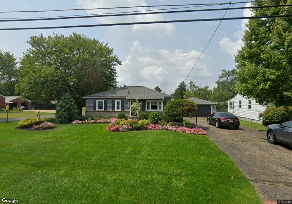
2143 S Rockhill Ave Alliance, OH 44601
Estimated Value: $128,945 - $153,000
2
Beds
1
Bath
816
Sq Ft
$172/Sq Ft
Est. Value
About This Home
This home is located at 2143 S Rockhill Ave, Alliance, OH 44601 and is currently estimated at $140,736, approximately $172 per square foot. 2143 S Rockhill Ave is a home located in Stark County with nearby schools including Alliance Elementary School at Rockhill, Alliance Intermediate School at Northside, and Alliance Middle School.
Ownership History
Date
Name
Owned For
Owner Type
Purchase Details
Closed on
Mar 1, 2022
Sold by
Louise Cade Cynthia
Bought by
Cade Mark D and Cade Yvette M
Current Estimated Value
Purchase Details
Closed on
Sep 30, 2010
Sold by
Cade Cynthia Louise and Cade David
Bought by
Cade Cynthia Louise and Cade Mark D
Create a Home Valuation Report for This Property
The Home Valuation Report is an in-depth analysis detailing your home's value as well as a comparison with similar homes in the area
Home Values in the Area
Average Home Value in this Area
Purchase History
| Date | Buyer | Sale Price | Title Company |
|---|---|---|---|
| Cade Mark D | -- | Pidgeon Emilie K | |
| Cade Cynthia Louise | -- | Attorney |
Source: Public Records
Tax History Compared to Growth
Tax History
| Year | Tax Paid | Tax Assessment Tax Assessment Total Assessment is a certain percentage of the fair market value that is determined by local assessors to be the total taxable value of land and additions on the property. | Land | Improvement |
|---|---|---|---|---|
| 2025 | -- | $33,430 | $9,100 | $24,330 |
| 2024 | -- | $33,430 | $9,100 | $24,330 |
| 2023 | $1,170 | $27,720 | $8,470 | $19,250 |
| 2022 | $1,149 | $27,720 | $8,470 | $19,250 |
| 2021 | $1,152 | $27,720 | $8,470 | $19,250 |
| 2020 | $1,049 | $23,590 | $7,350 | $16,240 |
| 2019 | $1,035 | $23,590 | $7,350 | $16,240 |
| 2018 | $1,040 | $23,590 | $7,350 | $16,240 |
| 2017 | $946 | $21,070 | $6,160 | $14,910 |
| 2016 | $887 | $19,600 | $5,530 | $14,070 |
| 2015 | $895 | $19,600 | $5,530 | $14,070 |
| 2014 | $937 | $19,530 | $5,530 | $14,000 |
| 2013 | $467 | $19,530 | $5,530 | $14,000 |
Source: Public Records
Map
Nearby Homes
- 884 W College Rd
- 1515 S Rockhill Ave
- 2839 S Rockhill Ave
- 1059 Oakwood Dr
- 2112 Blenheim Ave
- 2050 Federal Ave
- 1321 Parkway Blvd
- 2220 Western Ave
- 3101 Ridgehill Ave
- 112 E College St
- 1201 Overlook Dr
- 738 Kingsway St
- 970 Kingsway St
- 1038 Fairview Place
- 236 E Milton St
- 1475 Chatauqua Ct
- 317 E State St
- 896 Parkway Blvd
- 390 E College St
- 203 Glamorgan St
- 2133 S Rockhill Ave
- 829 W Mill St
- 2121 S Rockhill Ave
- 2207 S Rockhill Ave
- 839 W Mill St
- 2107 S Rockhill Ave
- 2120 Antram Ave
- 2146 S Rockhill Ave
- 2132 S Rockhill Ave
- 2225 S Rockhill Ave
- 2120 S Rockhill Ave
- 2208 S Rockhill Ave
- 2224 Antram Ave
- 886 Stark Dr
- 917 W Mill St
- 2100 S Rockhill Ave
- 2047 S Rockhill Ave
- 2051 S Rockhill Ave
- 2107 Antram Ave
- 2245 S Rockhill Ave