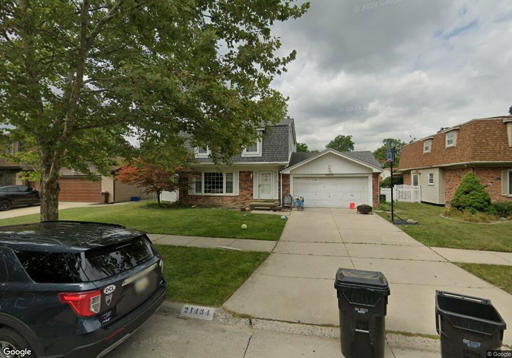
21434 Mayfair St Unit Bldg-Unit Woodhaven, MI 48183
Estimated Value: $289,498 - $306,000
--
Bed
2
Baths
1,573
Sq Ft
$188/Sq Ft
Est. Value
About This Home
This home is located at 21434 Mayfair St Unit Bldg-Unit, Woodhaven, MI 48183 and is currently estimated at $296,375, approximately $188 per square foot. 21434 Mayfair St Unit Bldg-Unit is a home located in Wayne County with nearby schools including Yake Elementary School, Patrick Henry Middle School, and Brownstown Middle School.
Ownership History
Date
Name
Owned For
Owner Type
Purchase Details
Closed on
Jul 2, 2018
Sold by
Warren Kingsley N and Warren Suzanne A
Bought by
Squires David and Squires Jessica Mae
Current Estimated Value
Home Financials for this Owner
Home Financials are based on the most recent Mortgage that was taken out on this home.
Original Mortgage
$191,468
Outstanding Balance
$166,375
Interest Rate
4.62%
Mortgage Type
FHA
Estimated Equity
$130,000
Purchase Details
Closed on
May 10, 2016
Sold by
Warren Kingsley N and Warren Suzanne A
Bought by
Warren Kingsley N
Create a Home Valuation Report for This Property
The Home Valuation Report is an in-depth analysis detailing your home's value as well as a comparison with similar homes in the area
Home Values in the Area
Average Home Value in this Area
Purchase History
| Date | Buyer | Sale Price | Title Company |
|---|---|---|---|
| Squires David | $195,000 | First American Title Insuran | |
| Warren Kingsley N | -- | Attorney |
Source: Public Records
Mortgage History
| Date | Status | Borrower | Loan Amount |
|---|---|---|---|
| Open | Squires David | $191,468 |
Source: Public Records
Tax History Compared to Growth
Tax History
| Year | Tax Paid | Tax Assessment Tax Assessment Total Assessment is a certain percentage of the fair market value that is determined by local assessors to be the total taxable value of land and additions on the property. | Land | Improvement |
|---|---|---|---|---|
| 2025 | $4,265 | $123,500 | $0 | $0 |
| 2024 | $4,265 | $117,400 | $0 | $0 |
| 2023 | $4,941 | $115,300 | $0 | $0 |
| 2022 | $4,705 | $102,900 | $0 | $0 |
| 2021 | $4,341 | $93,700 | $0 | $0 |
| 2020 | $4,284 | $83,300 | $0 | $0 |
| 2019 | $4,195 | $78,600 | $0 | $0 |
| 2018 | $2,643 | $73,500 | $0 | $0 |
| 2017 | $648 | $69,700 | $0 | $0 |
| 2016 | $2,881 | $68,200 | $0 | $0 |
| 2015 | $5,391 | $63,300 | $0 | $0 |
| 2013 | $5,222 | $56,500 | $0 | $0 |
| 2012 | $2,406 | $50,500 | $12,000 | $38,500 |
Source: Public Records
Map
Nearby Homes
- 21230 Mayfair St
- 1934 Pinetree Dr
- 1670 Yellowbrick Ct
- 1742 Lakeview St
- 22256 Monterey Dr
- 1745 Newman St
- 1561 Glen Ln
- 3236 S Margarette Ct
- 3548 Woodmont Ave
- 2935 Lakewood Dr Unit G29
- 1723 N Trenton Dr
- 2430 Middlefield Rd
- 1659 Boxford St
- Vacant West Rd
- 19345 Allen Rd
- 19495 Wherle Dr
- 2330 Ashby St
- 2387 Ashby St
- 3085 Grange Rd
- 2501 King Rd
- 21434 Mayfair St
- 21448 Mayfair St
- 21420 Mayfair St
- 21433 Danbury St
- 21462 Mayfair St
- 21406 Mayfair St
- 21447 Danbury St
- 21419 Danbury St
- 21423 Mayfair St
- 21461 Danbury St
- 21405 Danbury St
- 21437 Mayfair St
- 21476 Mayfair St
- 21296 Mayfair St
- 21409 Mayfair St
- 21451 Mayfair St
- 21475 Danbury St
- 21295 Danbury St
- 21465 Mayfair St
- 21282 Mayfair St