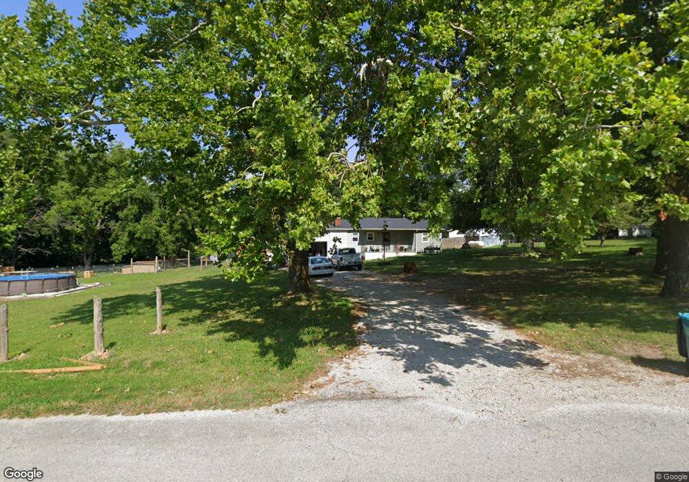
2144 N Old Mill Rd Brookline, MO 65619
Estimated Value: $249,971 - $383,000
3
Beds
1
Bath
1,448
Sq Ft
$220/Sq Ft
Est. Value
About This Home
This home is located at 2144 N Old Mill Rd, Brookline, MO 65619 and is currently estimated at $318,243, approximately $219 per square foot. 2144 N Old Mill Rd is a home with nearby schools including Mcculloch Elementary School, Republic Middle School, and Republic High School.
Ownership History
Date
Name
Owned For
Owner Type
Purchase Details
Closed on
Oct 28, 2024
Sold by
Butler Timothy W and Butler Pattie L
Bought by
Butler Timothy W and Butler Jayna Naifie
Current Estimated Value
Home Financials for this Owner
Home Financials are based on the most recent Mortgage that was taken out on this home.
Original Mortgage
$150,590
Outstanding Balance
$148,494
Interest Rate
6.09%
Mortgage Type
New Conventional
Estimated Equity
$169,749
Purchase Details
Closed on
Jul 14, 2008
Sold by
Ketchum Richard and Ketchum Nita
Bought by
Butler Timothy W and Butler Pattie L
Create a Home Valuation Report for This Property
The Home Valuation Report is an in-depth analysis detailing your home's value as well as a comparison with similar homes in the area
Purchase History
| Date | Buyer | Sale Price | Title Company |
|---|---|---|---|
| Butler Timothy W | -- | None Listed On Document | |
| Butler Timothy W | -- | None Available |
Source: Public Records
Mortgage History
| Date | Status | Borrower | Loan Amount |
|---|---|---|---|
| Open | Butler Timothy W | $150,590 |
Source: Public Records
Tax History
| Year | Tax Paid | Tax Assessment Tax Assessment Total Assessment is a certain percentage of the fair market value that is determined by local assessors to be the total taxable value of land and additions on the property. | Land | Improvement |
|---|---|---|---|---|
| 2025 | $1,028 | $19,860 | -- | -- |
| 2024 | $1,011 | $18,640 | -- | -- |
| 2023 | $1,011 | $18,640 | $0 | $0 |
| 2022 | $942 | $17,330 | $0 | $0 |
| 2021 | $943 | $17,330 | $0 | $0 |
| 2020 | $878 | $15,850 | $0 | $0 |
| 2019 | $878 | $15,850 | $0 | $0 |
| 2018 | $891 | $15,830 | $0 | $0 |
| 2017 | $891 | $15,830 | $0 | $0 |
| 2016 | $888 | $15,830 | $0 | $0 |
| 2014 | $875 | $15,980 | $0 | $0 |
| 2013 | $9 | $15,980 | $0 | $0 |
| 2011 | $9 | $31,960 | $0 | $0 |
Source: Public Records
Map
Nearby Homes
- 4930 S State Route Ff
- 2182 N Haseltine Rd
- 4064 W Sycamore Dr Unit Lot 145
- 4059 W Sycamore Dr Unit Lot 151
- 1971 County Road Ff-1
- 6060 S Brookside Ln
- 2665 W Old Limey Rd
- 000 W Old Limey Rd
- 4259 W Orchard Ln
- 5931 S Brookside Ln Unit Lot 79
- 1661 N Old Burr Oak Ct
- 5727 S State Highway Ff
- 3396 W Bluffview St
- 4544 Somerset Dr
- 3182 W Bluffview St
- 3262 W Bluffview St
- 5739 S Cottonwood Dr
- 4111 W Gardenia Dr
- 4061 W Gardenia Dr
- 3239 W Bluffview St
- 2118 N Old Mill Rd
- 2122 N Old Mill Rd
- 2140 Old Mill Rd
- 2107 N Old Mill Rd
- 2155 N Old Mill Rd
- 2446 S State Highway Ff
- 2446 State Highway Ff
- 0 Westeria Unit 11402284
- 0 Westeria Unit 11200612
- 2480 S State Highway Ff
- 2100 N Old Mill Rd
- 2484 S State Highway Ff
- 2488 S State Highway Ff
- Tract 2 S State Route Ff
- 2126 N Rocky Top Rd
- 2114 N Rocky Top Rd
- 2168 N Rocky Top Rd
- 7001 S State Highway Ff
- 2050 Old Mill Rd
- 000 Old Mill Rd
Your Personal Tour Guide
Ask me questions while you tour the home.