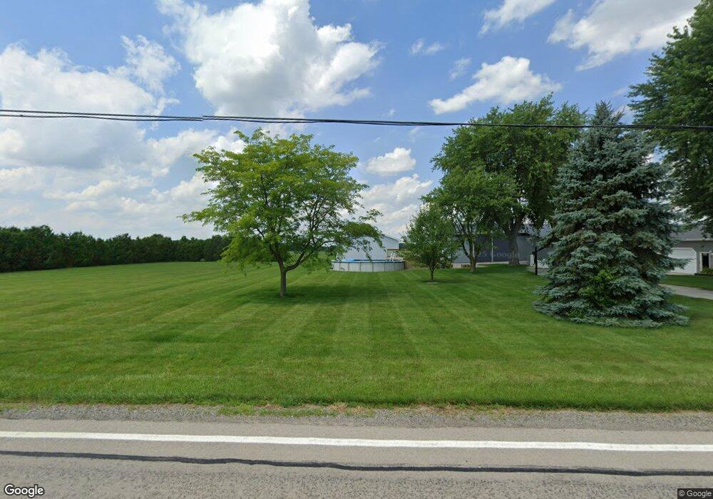
21441 State Route 697 Delphos, OH 45833
Estimated Value: $233,000 - $323,000
4
Beds
1
Bath
1,680
Sq Ft
$157/Sq Ft
Est. Value
About This Home
This home is located at 21441 State Route 697, Delphos, OH 45833 and is currently estimated at $264,563, approximately $157 per square foot. 21441 State Route 697 is a home located in Van Wert County with nearby schools including Delphos St. John's High School and Delphos St. John's Elementary School.
Ownership History
Date
Name
Owned For
Owner Type
Purchase Details
Closed on
Jul 25, 2023
Sold by
Gordon Nicholas D and Gordon Leah C
Bought by
Gordon Nicholas D and Gordon Leah C
Current Estimated Value
Purchase Details
Closed on
May 6, 1994
Bought by
Gordon Nicholas D
Create a Home Valuation Report for This Property
The Home Valuation Report is an in-depth analysis detailing your home's value as well as a comparison with similar homes in the area
Home Values in the Area
Average Home Value in this Area
Purchase History
| Date | Buyer | Sale Price | Title Company |
|---|---|---|---|
| Gordon Nicholas D | -- | None Listed On Document | |
| Gordon Nicholas D | -- | None Listed On Document | |
| Gordon Nicholas D | $50,000 | -- | |
| Gordon Nicholas D | $50,000 | -- |
Source: Public Records
Tax History Compared to Growth
Tax History
| Year | Tax Paid | Tax Assessment Tax Assessment Total Assessment is a certain percentage of the fair market value that is determined by local assessors to be the total taxable value of land and additions on the property. | Land | Improvement |
|---|---|---|---|---|
| 2024 | $1,878 | $63,780 | $10,120 | $53,660 |
| 2023 | $1,878 | $63,780 | $10,120 | $53,660 |
| 2022 | $1,599 | $49,090 | $7,880 | $41,210 |
| 2021 | $1,605 | $49,090 | $7,880 | $41,210 |
| 2020 | $1,627 | $49,090 | $7,880 | $41,210 |
| 2019 | $1,308 | $44,080 | $7,000 | $37,080 |
| 2018 | $1,304 | $44,080 | $7,000 | $37,080 |
| 2017 | $1,310 | $44,080 | $7,000 | $37,080 |
| 2016 | $1,180 | $41,870 | $6,690 | $35,180 |
| 2015 | $1,180 | $41,870 | $6,690 | $35,180 |
| 2014 | $1,238 | $41,870 | $6,690 | $35,180 |
| 2013 | $1,346 | $41,870 | $6,690 | $35,180 |
Source: Public Records
Map
Nearby Homes
- 11630 Clearview Dr
- 104 W Railroad St
- 104 W South St
- 112 W Railroad St
- TBD Dog Creek Rd
- 4455 N Kill Rd
- 8951 Brickner Rd
- 409 N Bredeick St
- 604 W 6th St
- 634 S Clay St
- 1400 S Clay St Unit 17
- 424 S Canal St
- 221 S Main St
- 516 S Main St
- 827 S Washington St
- 483 S Franklin St
- 210 E 3rd St
- 610 N Washington St
- 405 N Franklin St
- 704 N Franklin St
- 21344 State Route 697
- 21269 State Route 697
- 21630 State Route 697
- 21664 Gerdeman Rd
- 11380 Converse Roselm Rd
- 11226 Converse Roselm Rd
- 11153 Converse Roselm Rd
- 21842 Gerdeman Rd
- 21633 Gerdeman Rd
- 21297 State Route 697
- 20881 State Route 697
- 21997 State Route 697
- 11841 Converse Roselm Rd
- 11862 Converse Roselm Rd
- 21773 Gerdeman Rd
- 11310 Bockey Rd
- 11756 Bockey Rd
- 20796 State Route 697
- 000 Gerdeman Rd