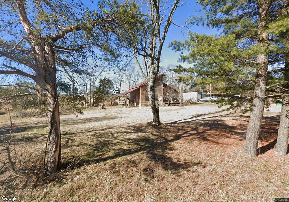
21448 Springston Ford Rd Elkins, AR 72727
Estimated Value: $261,000 - $367,000
--
Bed
2
Baths
2,074
Sq Ft
$141/Sq Ft
Est. Value
About This Home
This home is located at 21448 Springston Ford Rd, Elkins, AR 72727 and is currently estimated at $292,942, approximately $141 per square foot. 21448 Springston Ford Rd is a home located in Washington County with nearby schools including Elkins Elementary Primary School, Elkins Elementary School, and Elkins Middle School.
Ownership History
Date
Name
Owned For
Owner Type
Purchase Details
Closed on
Apr 8, 2003
Sold by
Hammons Diana S
Bought by
Hammons Ronald C and Hammons Diana S
Current Estimated Value
Home Financials for this Owner
Home Financials are based on the most recent Mortgage that was taken out on this home.
Original Mortgage
$75,000
Interest Rate
5.71%
Mortgage Type
Purchase Money Mortgage
Create a Home Valuation Report for This Property
The Home Valuation Report is an in-depth analysis detailing your home's value as well as a comparison with similar homes in the area
Home Values in the Area
Average Home Value in this Area
Purchase History
| Date | Buyer | Sale Price | Title Company |
|---|---|---|---|
| Hammons Ronald C | -- | -- |
Source: Public Records
Mortgage History
| Date | Status | Borrower | Loan Amount |
|---|---|---|---|
| Closed | Hammons Ronald C | $75,000 |
Source: Public Records
Tax History Compared to Growth
Tax History
| Year | Tax Paid | Tax Assessment Tax Assessment Total Assessment is a certain percentage of the fair market value that is determined by local assessors to be the total taxable value of land and additions on the property. | Land | Improvement |
|---|---|---|---|---|
| 2025 | $840 | $44,670 | $3,500 | $41,170 |
| 2024 | $940 | $44,670 | $3,500 | $41,170 |
| 2023 | $1,050 | $44,670 | $3,500 | $41,170 |
| 2022 | $1,317 | $35,160 | $4,600 | $30,560 |
| 2021 | $1,244 | $35,160 | $4,600 | $30,560 |
| 2020 | $1,172 | $35,160 | $4,600 | $30,560 |
| 2019 | $1,075 | $28,600 | $3,500 | $25,100 |
| 2018 | $1,100 | $28,600 | $3,500 | $25,100 |
| 2017 | $1,086 | $28,600 | $3,500 | $25,100 |
| 2016 | $1,086 | $28,600 | $3,500 | $25,100 |
| 2015 | $1,086 | $28,600 | $3,500 | $25,100 |
| 2014 | $1,098 | $28,840 | $3,000 | $25,840 |
Source: Public Records
Map
Nearby Homes
- 21964 Raven Rd
- 1022 Adysen Ln
- 503 Jason St
- 607 Jason St
- 517 Jason St
- 20266 Mount Olive Rd
- 6451 Madison 6041
- 10836 Bray Rd
- 0 Tbd Madison Cr 6021 Unit 1319733
- 19641 Conestoga Rd
- 895 Madison 6180
- 20409 E Hwy 74
- 339 Madison 6122 & 440 Madison 6122
- 20096 E Hwy 74 Hwy
- 20553 Durham McCord Rd
- 122 Madison 6124
- 0 277 Madison 6124 Unit 1298983
- 19105 Feather Hill Rd
- 2107 Madison 4097
- RC Carnegie II Plan at Stokenbury
- 21452 Springston Ford Rd
- 21511 Springston Ford Rd
- 21320 Kirksey Rd
- 21348 Kirksey Rd
- 21292 Kirksey Rd
- 21558 Springston Ford Rd
- 21748 Everett Hill Rd
- 21748 Everett Hill Rd
- 21272 Kirksey Rd
- 21345 Springston Ford Rd
- 21235 Kirksey Rd
- 21136 Kirksey Rd
- 21142 Kirksey Rd
- 21728 Springton Ford Rd
- 21728 Springston Ford (Wc 49) Rd
- 21320 Springston Ford Rd
- 21705 Springston Ford Rd
- 21252 Springston Ford Rd
- 21728 Springston Ford Rd
- 20990 Kirksey Rd