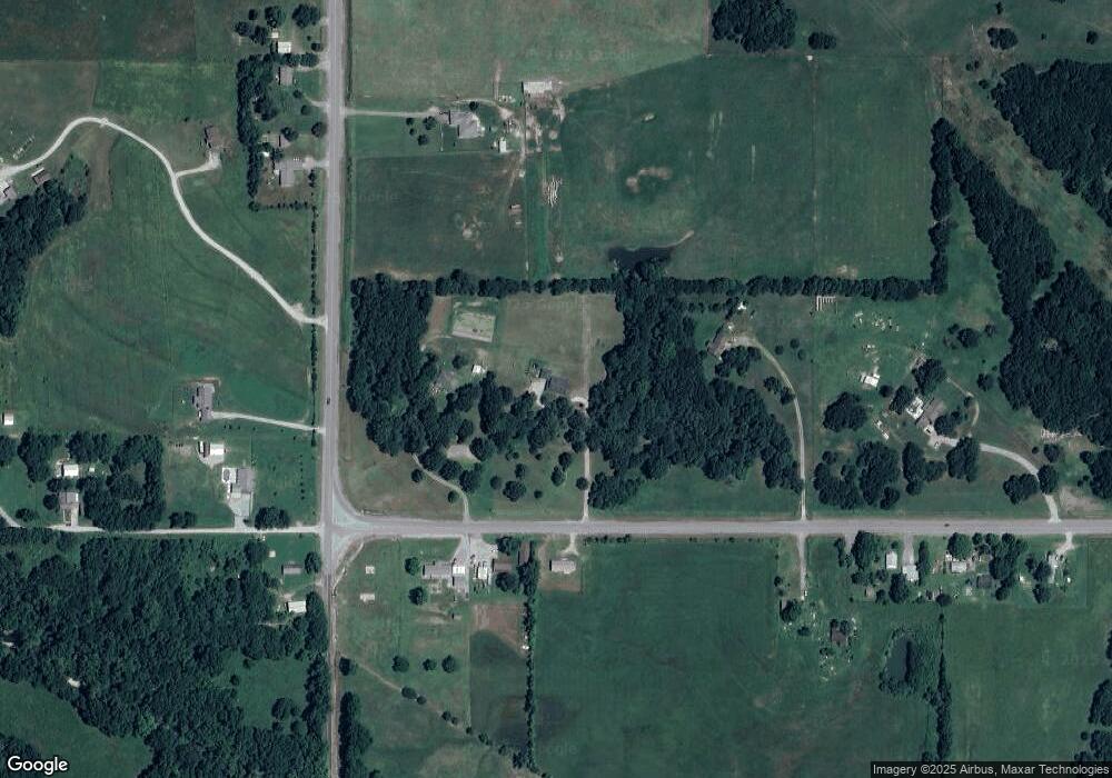
2145 E 560 Rd Locust Grove, OK 74352
Estimated Value: $301,000 - $450,026
3
Beds
2
Baths
2,044
Sq Ft
$174/Sq Ft
Est. Value
About This Home
This home is located at 2145 E 560 Rd, Locust Grove, OK 74352 and is currently estimated at $355,675, approximately $174 per square foot. 2145 E 560 Rd is a home with nearby schools including Locust Grove Early Lrning Center, Locust Grove Upper Elementary School, and Locust Grove Middle School.
Ownership History
Date
Name
Owned For
Owner Type
Purchase Details
Closed on
Jul 29, 2020
Sold by
Cowan Jason and Cowan Amanda
Bought by
Cowan Jason Riley and Cowan Amanda
Current Estimated Value
Home Financials for this Owner
Home Financials are based on the most recent Mortgage that was taken out on this home.
Original Mortgage
$166,600
Outstanding Balance
$117,706
Interest Rate
3.1%
Mortgage Type
New Conventional
Estimated Equity
$237,969
Purchase Details
Closed on
Aug 17, 2018
Sold by
Siewert Burt Trent and Siewert Rosa D
Bought by
Cowan Jason and Cowan Amanda
Home Financials for this Owner
Home Financials are based on the most recent Mortgage that was taken out on this home.
Original Mortgage
$28,000
Interest Rate
4.5%
Mortgage Type
Commercial
Purchase Details
Closed on
Nov 19, 2012
Sold by
Siewert Randy and Siewert Randy S
Bought by
Siewert Burt Trent and Siewert Rosa D
Purchase Details
Closed on
Oct 5, 2004
Sold by
Siewert Lindell
Bought by
Siewert Randy
Create a Home Valuation Report for This Property
The Home Valuation Report is an in-depth analysis detailing your home's value as well as a comparison with similar homes in the area
Home Values in the Area
Average Home Value in this Area
Purchase History
| Date | Buyer | Sale Price | Title Company |
|---|---|---|---|
| Cowan Jason Riley | -- | None Available | |
| Cowan Jason | $35,000 | Mchenry County Abstract | |
| Siewert Burt Trent | -- | None Available | |
| Siewert Randy | -- | -- |
Source: Public Records
Mortgage History
| Date | Status | Borrower | Loan Amount |
|---|---|---|---|
| Open | Cowan Jason Riley | $166,600 | |
| Closed | Cowan Jason | $28,000 |
Source: Public Records
Tax History Compared to Growth
Tax History
| Year | Tax Paid | Tax Assessment Tax Assessment Total Assessment is a certain percentage of the fair market value that is determined by local assessors to be the total taxable value of land and additions on the property. | Land | Improvement |
|---|---|---|---|---|
| 2025 | $2,785 | $31,876 | $4,654 | $27,222 |
| 2024 | $2,785 | $30,947 | $4,518 | $26,429 |
| 2023 | $2,785 | $30,046 | $4,399 | $25,647 |
| 2022 | $2,542 | $29,171 | $4,326 | $24,845 |
| 2021 | $2,518 | $28,322 | $4,326 | $23,996 |
| 2020 | $385 | $4,116 | $4,116 | $0 |
| 2019 | $367 | $3,920 | $3,920 | $0 |
| 2018 | $80 | $842 | $842 | $0 |
| 2017 | $77 | $802 | $802 | $0 |
| 2016 | $71 | $764 | $764 | $0 |
| 2015 | $70 | $728 | $728 | $0 |
| 2014 | -- | $693 | $693 | $0 |
Source: Public Records
Map
Nearby Homes
- 2940 E 560 Rd
- 1544 E 565
- 1436 E 550
- 7862 S 436
- 0 N 435 Rd Unit 2524163
- 0 N 435 Rd Unit 2545167
- 207 Orange St
- 0 Orange St
- 0 Peach St
- 000 Earl Smith Rd
- 310 W Harrison
- 1 W Ross St
- 381 S 437
- 212 N Mayes St
- 415 N Broadway
- 8604 S County Road 4468
- 301 S Water St
- 00 Hill St
- 10171 U S Highway 412
- 57 Joe Koelsch Dr