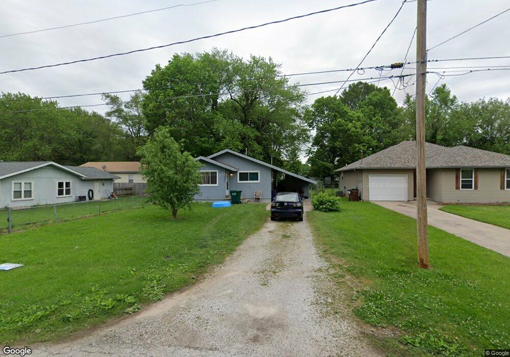
2145 W Brower St Springfield, MO 65802
Heart of the Westside NeighborhoodEstimated Value: $103,385 - $122,000
2
Beds
1
Bath
816
Sq Ft
$140/Sq Ft
Est. Value
About This Home
This home is located at 2145 W Brower St, Springfield, MO 65802 and is currently estimated at $114,096, approximately $139 per square foot. 2145 W Brower St is a home located in Greene County with nearby schools including York Elementary School, Pipkin Middle School, and Central High School.
Ownership History
Date
Name
Owned For
Owner Type
Purchase Details
Closed on
Feb 19, 2025
Sold by
Blake Turner and Blake Regan
Bought by
Blake Family Properties Llc
Current Estimated Value
Purchase Details
Closed on
Apr 5, 2022
Sold by
Dte Properties Llc
Bought by
Blake Turner Lee
Home Financials for this Owner
Home Financials are based on the most recent Mortgage that was taken out on this home.
Original Mortgage
$69,600
Interest Rate
4.67%
Mortgage Type
New Conventional
Create a Home Valuation Report for This Property
The Home Valuation Report is an in-depth analysis detailing your home's value as well as a comparison with similar homes in the area
Home Values in the Area
Average Home Value in this Area
Purchase History
| Date | Buyer | Sale Price | Title Company |
|---|---|---|---|
| Blake Family Properties Llc | -- | None Listed On Document | |
| Blake Turner Lee | -- | None Listed On Document |
Source: Public Records
Mortgage History
| Date | Status | Borrower | Loan Amount |
|---|---|---|---|
| Previous Owner | Blake Turner Lee | $69,600 |
Source: Public Records
Tax History Compared to Growth
Tax History
| Year | Tax Paid | Tax Assessment Tax Assessment Total Assessment is a certain percentage of the fair market value that is determined by local assessors to be the total taxable value of land and additions on the property. | Land | Improvement |
|---|---|---|---|---|
| 2025 | $366 | $8,930 | $3,040 | $5,890 |
| 2024 | $366 | $6,820 | $1,900 | $4,920 |
| 2023 | $364 | $6,820 | $1,900 | $4,920 |
| 2022 | $345 | $6,310 | $1,900 | $4,410 |
| 2021 | $345 | $6,310 | $1,900 | $4,410 |
| 2020 | $354 | $6,190 | $1,900 | $4,290 |
| 2019 | $344 | $6,190 | $1,900 | $4,290 |
| 2018 | $376 | $6,780 | $1,900 | $4,880 |
| 2017 | $372 | $6,780 | $1,900 | $4,880 |
| 2016 | $372 | $6,780 | $1,900 | $4,880 |
| 2015 | $368 | $6,780 | $1,900 | $4,880 |
| 2014 | $368 | $6,730 | $1,900 | $4,830 |
Source: Public Records
Map
Nearby Homes
- 722 N Warren Ave
- 2222 W Nichols St
- 622 N Park Ave
- 3220 W Chestnut St
- 1030 N Warren Ave
- 810 N West Ave
- 1835 W Chestnut St
- 730 N West Ave
- 1031 N Forest Ave
- 901 N West Ave
- 1218 N Warren Ave
- 2124 W Calhoun St
- 939 N Brown Ave
- 1100 N Brown Ave
- 1800 W Webster St
- 1122 N Brown Ave
- 905 N Eagle Ave
- 418 N West Ave
- 1621 W Chestnut St
- 5087 E Ferdinand Ct
- 2141 W Brower St
- 804 N Park Ave
- 808 N Park Ave
- 2137 W Brower St
- 2131 W Brower St
- 2146 W Central St
- 2156 W Central St
- 2130 W Central St
- 2142 W Brower St
- 2127 W Brower St
- 2156 W Brower St
- 2136 W Brower St
- 2126 W Central St
- 801 N Park Ave
- 807 N Park Ave
- 2128 W Brower St
- 811 N Park Ave
- 751 N Park Ave
- 815 N Park Ave
- 2115 W Brower St