Estimated Value: $302,000 - $347,000
--
Bed
--
Bath
3,296
Sq Ft
$99/Sq Ft
Est. Value
About This Home
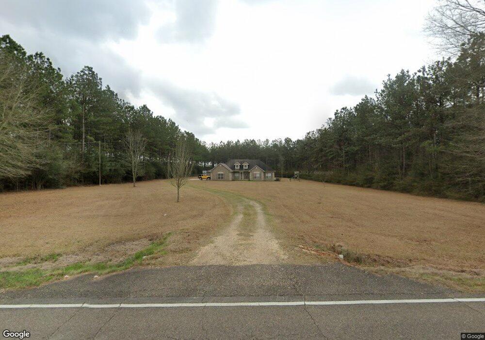
This home is located at 21458 Highway 1061, Amite, LA 70422 and is currently estimated at $325,854, approximately $98 per square foot. 21458 Highway 1061 is a home located in Tangipahoa Parish with nearby schools including Amite Elementary Magnet School, Amite Westside Middle Magnet, and Amite High Magnet.
Ownership History
Date
Name
Owned For
Owner Type
Purchase Details
Closed on
Aug 26, 2005
Sold by
Wall Sandra S and Wall Ivy Wallace
Bought by
Beyant Autumn Nicole Miller and Beyant Brandon Chad
Current Estimated Value
Purchase Details
Closed on
Apr 7, 2005
Sold by
Wall Ivy Wallace and Wall Sandra Sue Crawford
Bought by
Bryant Brandon Chad and Willer Autumn Nicole
Home Financials for this Owner
Home Financials are based on the most recent Mortgage that was taken out on this home.
Original Mortgage
$27,000
Interest Rate
5.75%
Mortgage Type
Unknown
Create a Home Valuation Report for This Property
The Home Valuation Report is an in-depth analysis detailing your home's value as well as a comparison with similar homes in the area
Home Values in the Area
Average Home Value in this Area
Purchase History
| Date | Buyer | Sale Price | Title Company |
|---|---|---|---|
| Beyant Autumn Nicole Miller | $13,800 | None Available | |
| Bryant Brandon Chad | $30,000 | None Available |
Source: Public Records
Mortgage History
| Date | Status | Borrower | Loan Amount |
|---|---|---|---|
| Previous Owner | Bryant Brandon Chad | $27,000 |
Source: Public Records
Tax History Compared to Growth
Tax History
| Year | Tax Paid | Tax Assessment Tax Assessment Total Assessment is a certain percentage of the fair market value that is determined by local assessors to be the total taxable value of land and additions on the property. | Land | Improvement |
|---|---|---|---|---|
| 2024 | $1,661 | $21,650 | $753 | $20,897 |
| 2023 | $1,684 | $21,823 | $713 | $21,110 |
| 2022 | $1,684 | $21,823 | $713 | $21,110 |
| 2021 | $1,040 | $21,823 | $713 | $21,110 |
| 2020 | $1,793 | $21,823 | $713 | $21,110 |
| 2019 | $1,794 | $21,823 | $713 | $21,110 |
| 2018 | $1,772 | $21,823 | $713 | $21,110 |
| 2017 | $1,728 | $21,823 | $713 | $21,110 |
| 2016 | $1,772 | $21,823 | $713 | $21,110 |
| 2015 | $1,210 | $22,036 | $713 | $21,323 |
| 2014 | $1,239 | $22,036 | $713 | $21,323 |
Source: Public Records
Map
Nearby Homes
- 21305 Louisiana 1061
- 21305 Hwy 1061 None
- 64450 J Catha Dr
- 63279 Lowery Rd
- 62318 Friendship Church Rd
- 21490 Louisiana 10
- 1 Mixon Rd
- 0 Newman Briggs Rd Unit 2499387
- 19181 Rolling Pines Rd
- B-1 Olan Bankston Rd
- 60412 Ruth Holton Rd
- TBD Ruth Holton Rd
- B-2 Olan Bankston Rd
- 25129 Corban Ln
- 25176 Seals Rd
- 0 Miller Ln
- 21380 Louisiana 1061
- 21380 Highway 1061
- 21380 Highway 1061
- 21475 Highway 1061
- 21366 Louisiana 1061
- 21366 Highway 1061
- 21366 Highway 1061
- 21556 Highway 1061
- 21306 Highway 1061
- 21329 Highway 1061
- 64309 Friendship Church Rd
- 64283 Friendship Church Rd
- 21305 Highway 1061
- 64185 Friendship Church Rd
- 64274 Friendship Church Rd
- 64296 Friendship Church Rd
- 64200 Friendship Church Rd
- 70420 Friendship Church Rd
- 64322 Friendship Church Rd
- 64339 Friendship Church Rd