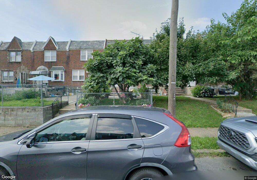
2146 Disston St Philadelphia, PA 19149
Castor Gardens NeighborhoodEstimated Value: $233,553 - $258,000
3
Beds
1
Bath
1,182
Sq Ft
$206/Sq Ft
Est. Value
About This Home
This home is located at 2146 Disston St, Philadelphia, PA 19149 and is currently estimated at $243,638, approximately $206 per square foot. 2146 Disston St is a home located in Philadelphia County with nearby schools including Solomon Solis-Cohen School, Castor Gardens Middle School, and Northeast High School.
Ownership History
Date
Name
Owned For
Owner Type
Purchase Details
Closed on
Jul 30, 2007
Sold by
Araujo Antonio J and Araujo Maria G
Bought by
Maik Wai Chong and Zhao Yan Jian
Current Estimated Value
Home Financials for this Owner
Home Financials are based on the most recent Mortgage that was taken out on this home.
Original Mortgage
$80,000
Interest Rate
6.72%
Mortgage Type
Purchase Money Mortgage
Create a Home Valuation Report for This Property
The Home Valuation Report is an in-depth analysis detailing your home's value as well as a comparison with similar homes in the area
Home Values in the Area
Average Home Value in this Area
Purchase History
| Date | Buyer | Sale Price | Title Company |
|---|---|---|---|
| Maik Wai Chong | $140,000 | None Available |
Source: Public Records
Mortgage History
| Date | Status | Borrower | Loan Amount |
|---|---|---|---|
| Closed | Maik Wai Chong | $80,000 |
Source: Public Records
Tax History Compared to Growth
Tax History
| Year | Tax Paid | Tax Assessment Tax Assessment Total Assessment is a certain percentage of the fair market value that is determined by local assessors to be the total taxable value of land and additions on the property. | Land | Improvement |
|---|---|---|---|---|
| 2025 | $2,872 | $242,300 | $48,460 | $193,840 |
| 2024 | $2,872 | $242,300 | $48,460 | $193,840 |
| 2023 | $2,872 | $205,200 | $41,040 | $164,160 |
| 2022 | $1,390 | $160,200 | $41,040 | $119,160 |
| 2021 | $2,020 | $0 | $0 | $0 |
| 2020 | $2,020 | $0 | $0 | $0 |
| 2019 | $1,939 | $0 | $0 | $0 |
| 2018 | $1,768 | $0 | $0 | $0 |
| 2017 | $1,768 | $0 | $0 | $0 |
| 2016 | $1,348 | $0 | $0 | $0 |
| 2015 | $1,290 | $0 | $0 | $0 |
| 2014 | -- | $126,300 | $23,060 | $103,240 |
| 2012 | -- | $15,968 | $1,808 | $14,160 |
Source: Public Records
Map
Nearby Homes
- 2171 Disston St
- 2110 Longshore Ave
- 2119 Glenview St
- 2169 Knorr St
- 2248 Disston St
- 2257 Disston St
- 2140 Princeton Ave
- 2162 Princeton Ave
- 2011 Longshore Ave
- 2206 Princeton Ave
- 2241 Knorr St
- 6736 Leonard St
- 2249 Knorr St
- 6900 Eastwood St
- 2240 Friendship St
- 2105 Friendship St
- 6725 Eastwood St
- 2268 Friendship St
- 6749 E Roosevelt Blvd
- 2141 Fanshawe St
- 2148 Disston St
- 2144 Disston St
- 2150 Disston St
- 2142 Disston St
- 2152 Disston St
- 2140 Disston St
- 2138 Disston St
- 2154 Disston St
- 2156 Disston St
- 2136 Disston St
- 2141 Longshore Ave
- 2143 Longshore Ave
- 2145 Longshore Ave
- 2147 Longshore Ave
- 2139 Longshore Ave
- 2158 Disston St
- 2149 Longshore Ave
- 2137 Longshore Ave
- 2160 Disston St
- 2151 Longshore Ave