2146 Eight Mile Rd Samson, AL 36477
Estimated Value: $233,000 - $2,106,303
--
Bed
1
Bath
2,310
Sq Ft
$506/Sq Ft
Est. Value
About This Home
This home is located at 2146 Eight Mile Rd, Samson, AL 36477 and is currently estimated at $1,169,652, approximately $506 per square foot. 2146 Eight Mile Rd is a home.
Create a Home Valuation Report for This Property
The Home Valuation Report is an in-depth analysis detailing your home's value as well as a comparison with similar homes in the area
Home Values in the Area
Average Home Value in this Area
Tax History Compared to Growth
Tax History
| Year | Tax Paid | Tax Assessment Tax Assessment Total Assessment is a certain percentage of the fair market value that is determined by local assessors to be the total taxable value of land and additions on the property. | Land | Improvement |
|---|---|---|---|---|
| 2024 | $2,799 | $86,860 | $25,520 | $61,340 |
| 2023 | $2,797 | $68,720 | $25,460 | $43,260 |
| 2022 | $2,222 | $68,920 | $25,420 | $43,500 |
| 2021 | $2,238 | $69,420 | $25,380 | $44,040 |
| 2020 | $2,245 | $69,640 | $25,340 | $44,300 |
| 2019 | $2,240 | $69,500 | $25,300 | $44,200 |
| 2018 | $2,272 | $70,480 | $25,260 | $45,220 |
| 2017 | $2,486 | $77,160 | $24,880 | $52,280 |
| 2016 | $2,486 | $77,160 | $24,880 | $52,280 |
| 2015 | $2,442 | $75,800 | $24,880 | $50,920 |
| 2014 | $2,442 | $75,800 | $24,880 | $50,920 |
| 2013 | $2,441 | $75,760 | $24,840 | $50,920 |
Source: Public Records
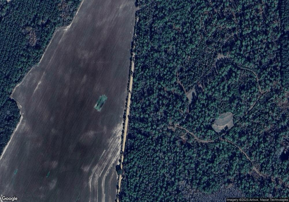
Map
Nearby Homes
- 0 Cuthriell Rd
- 7257 State Highway 153
- 0 Co Rd 10
- Tract#6201 Doyle Morgan Rd
- Tract#6201 8 Mile Cemetery Rd Unit 2
- 0 Gopher Ridge Rd
- Tract#6201 W Co Hwy 181 Nat B-01
- Tract#6201 W County Hwy 181 Unit Nat B-01
- 239 Aubie Rd
- 3223 Alford Rd
- 0 Circle R Farm Dr Unit 7428123
- 0 Circle R Farm Dr Unit 387121
- 5077 Eason Rd
- 552 * Alabama 54
- 1921 Adams Dr
- 601 Oak Grove Rd
- Parcel B Adams Dr
- 258 Briar Rd
- 1116 Alabama 153
- xx Wallace Rd