2146 Fisk Rd Howell, MI 48843
Estimated Value: $319,457 - $622,000
5
Beds
2
Baths
2,700
Sq Ft
$155/Sq Ft
Est. Value
About This Home
This home is located at 2146 Fisk Rd, Howell, MI 48843 and is currently estimated at $417,614, approximately $154 per square foot. 2146 Fisk Rd is a home located in Livingston County with nearby schools including Parker Middle School and Howell High School.
Ownership History
Date
Name
Owned For
Owner Type
Purchase Details
Closed on
Aug 19, 2010
Sold by
Wells Fargo Bank Na
Bought by
Woodbeck Robert and Woodbeck Tanya
Current Estimated Value
Purchase Details
Closed on
Nov 12, 2004
Sold by
Hud
Bought by
Daugard Darin R and Daugard Darin
Purchase Details
Closed on
Apr 23, 2004
Sold by
First Horizon Home Loan Corp
Bought by
Hud
Purchase Details
Closed on
Oct 23, 2002
Sold by
Thompson Scott R
Bought by
First Horizon Home Loan Corp and Sunbelt
Purchase Details
Closed on
Apr 6, 2000
Sold by
Skinner James N and Skinner Sherry L
Bought by
Thompson Scott R
Purchase Details
Closed on
Mar 22, 2000
Sold by
Skinner James N and Skinner Sherry L
Bought by
Standard Federal Bank
Create a Home Valuation Report for This Property
The Home Valuation Report is an in-depth analysis detailing your home's value as well as a comparison with similar homes in the area
Home Values in the Area
Average Home Value in this Area
Purchase History
| Date | Buyer | Sale Price | Title Company |
|---|---|---|---|
| Woodbeck Robert | $52,000 | -- | |
| Daugard Darin R | $155,000 | -- | |
| Hud | -- | -- | |
| First Horizon Home Loan Corp | $191,744 | -- | |
| Thompson Scott R | $160,000 | Title America | |
| Standard Federal Bank | $93,602 | -- |
Source: Public Records
Tax History Compared to Growth
Tax History
| Year | Tax Paid | Tax Assessment Tax Assessment Total Assessment is a certain percentage of the fair market value that is determined by local assessors to be the total taxable value of land and additions on the property. | Land | Improvement |
|---|---|---|---|---|
| 2025 | $1,260 | $126,500 | $0 | $0 |
| 2024 | $1,224 | $122,900 | $0 | $0 |
| 2023 | $1,169 | $100,100 | $0 | $0 |
| 2022 | $1,589 | $89,600 | $0 | $0 |
| 2021 | $1,552 | $89,600 | $0 | $0 |
| 2020 | $1,580 | $91,800 | $0 | $0 |
| 2019 | $1,556 | $91,100 | $0 | $0 |
| 2018 | $1,537 | $80,400 | $0 | $0 |
| 2017 | $1,517 | $80,100 | $0 | $0 |
| 2016 | $1,509 | $83,100 | $0 | $0 |
| 2014 | $1,514 | $72,900 | $0 | $0 |
| 2012 | $1,514 | $60,900 | $0 | $0 |
Source: Public Records
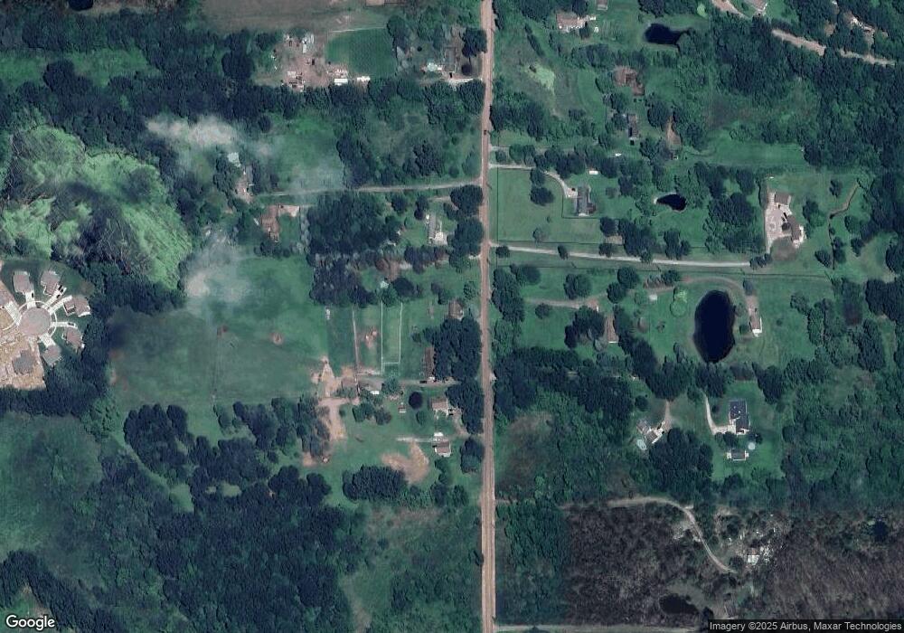
Map
Nearby Homes
- 8 Sleaford-Parcel 8 - 2 12 Acres Rd
- 4 Sleaford-Parcel 4 - 32 92 Acres Rd
- 6 Sleaford-Parcel 6 - 2 1 Acres Rd
- 3 Sleaford-Parcel 3-3 17 Acres Rd
- 4788 Parker Dr
- 5 Sleaford-Parcel 5 - 2 5 Acres Rd
- 1657 Frech Ln
- 7 Sleaford-Parcel 7 - 2 Acres Rd
- 2 Sleaford-Parcel 2-3 2 Acres Rd N
- MOH 60 Birkdale Ln
- 677 Ln
- 595 Birkdale (Moh 44) Dr
- TBD Round Rock Dr (Moh 82)
- TBD Round Rock Dr (Moh 66) Dr
- TBD Round Rock (Moh81) Dr
- MOH 67 Round Rock
- 601 Birkdale Dr (Moh 45)
- 660 Dr
- 515 Round Rock Dr
- 1731 Fisk Rd
- 2136 Fisk Rd
- 2120 Fisk Rd
- 2178 Fisk Rd
- 2151 Fisk Rd
- 2107 Fisk Rd
- 2114 Fisk Rd
- 2205 Fisk Rd
- 2160 Fisk Rd
- 2098 Fisk Rd
- 2075 Fisk Rd
- 2050 Fisk Rd
- 2177 Fisk Rd
- 2137 Fisk Rd
- 2010 Fisk Rd
- 00000 Beck Nixon
- 0000 Beck Latson
- 2012 Beck Rd
- 2129 Fisk Rd
- 0 Bignall Lot #10 Dr Unit 542807739
- 0 Bignall Lot #4 Dr Unit 542807716