2146 Preserve Cir E Unit Bldg-Unit Canton, MI 48188
Estimated Value: $305,000 - $398,000
About This Home
This home is located at 2146 Preserve Cir E Unit Bldg-Unit, Canton, MI 48188 and is currently estimated at $353,961, approximately $232 per square foot. 2146 Preserve Cir E Unit Bldg-Unit is a home located in Wayne County with nearby schools including Canton High School, Salem High School, and Plymouth High School.
Ownership History
We collect this data history from publicly available records. To have your information removed, we recommend requesting removal directly through your county’s website.
Purchase Details
Home Financials for this Owner
Home Financials are based on the most recent Mortgage that was taken out on this home.Purchase Details
Home Financials for this Owner
Home Financials are based on the most recent Mortgage that was taken out on this home.Purchase Details
Home Financials for this Owner
Home Financials are based on the most recent Mortgage that was taken out on this home.Home Values in the Area
Average Home Value in this Area
Purchase History
We collect this data history from publicly available records. To have your information removed, we recommend requesting removal directly through your county’s website.
| Date | Buyer | Sale Price | Title Company |
|---|---|---|---|
| $325,000 | Hometown One Title Agency | ||
| $217,000 | None Available | ||
| -- | None Available | ||
| $222,460 | 1St Security Title Agency |
Mortgage History
We collect this data history from publicly available records. To have your information removed, we recommend requesting removal directly through your county’s website.
| Date | Status | Borrower | Loan Amount |
|---|---|---|---|
| Open | $302,250 | ||
| Previous Owner | $197,000 | ||
| Previous Owner | $44,520 | ||
| Previous Owner | $178,080 |
Tax History
We collect this data history from publicly available records. To have your information removed, we recommend requesting removal directly through your county’s website.
| Year | Tax Paid | Tax Assessment Tax Assessment Total Assessment is a certain percentage of the fair market value that is determined by local assessors to be the total taxable value of land and additions on the property. | Land | Improvement |
|---|---|---|---|---|
| 2025 | $2,623 | $154,400 | $0 | $0 |
| 2024 | $2,548 | $150,900 | $0 | $0 |
| 2023 | $2,373 | $131,400 | $0 | $0 |
| 2022 | $4,697 | $113,400 | $0 | $0 |
| 2021 | $4,558 | $114,400 | $0 | $0 |
| 2020 | $4,501 | $111,400 | $0 | $0 |
| 2019 | $4,421 | $106,090 | $0 | $0 |
| 2018 | $1,173 | $91,080 | $0 | $0 |
| 2017 | $3,003 | $81,000 | $0 | $0 |
| 2016 | $2,499 | $78,000 | $0 | $0 |
| 2015 | $6,082 | $69,070 | $0 | $0 |
| 2013 | $5,971 | $62,390 | $0 | $0 |
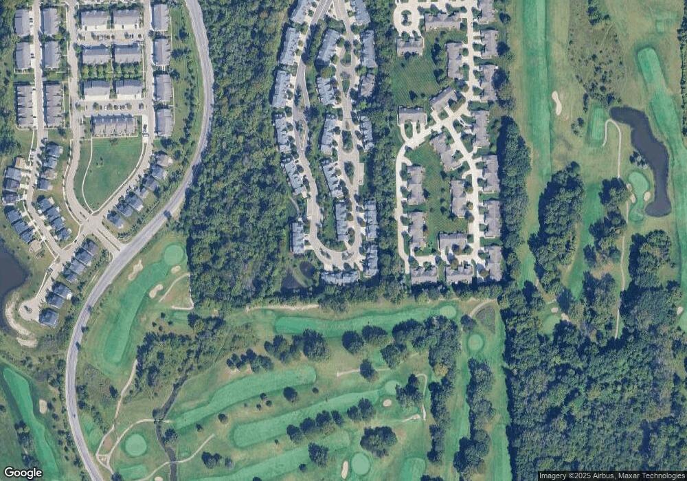
Map
- 2495 Knollwood Dr
- 40442 Bay Harbor Ln Unit 16
- 2393 Arcadia Dr
- 000 S Lotz Rd
- 1603 Orchard Dr
- 1786 Daisey Ln Unit 32
- 2435 S Haggerty Rd
- 2216 Lone Wolf Ln Unit 138
- 39734 Scottsdale Dr
- 720 Comet Ct
- 1501 Barchester St
- 1243 Springer St
- 1218 Barchester St
- 1260 S John Hix St
- 38798 Covington Dr
- 39385 Dillingham St
- 39240 Nottingham St
- 38665 Northampton St
- 38684 Meadowlawn St
- 41009 Southwind Dr Unit 108
- 2130 Preserve Cir E Unit 84
- 2114 Preserve Cir E
- 2146 Preserve Cir E
- 2130 Preserve Cir E
- 2054 Preserve Cir W Unit 111
- 2038 Preserve Cir W Unit 113
- 2078 Preserve Cir W Unit 108
- 2022 Preserve Cir W Unit 54
- 1992 Preserve Cir W Unit 50
- 2086 Preserve Cir W Unit 107
- 2016 Preserve Cir W Unit 53
- 2094 Preserve Cir W Unit 106
- 1994 Preserve Cir E
- 2030 Preserve Cir W Unit 114
- 2034 Preserve Cir W Unit 62
- 2000 Preserve Cir W Unit 52
- 2102 Preserve Cir W Unit 105
- 2042 Preserve Cir W Unit 63
- 2058 Preserve Cir W Unit 65
- 1996 Preserve Cir W
Ask me questions while you tour the home.