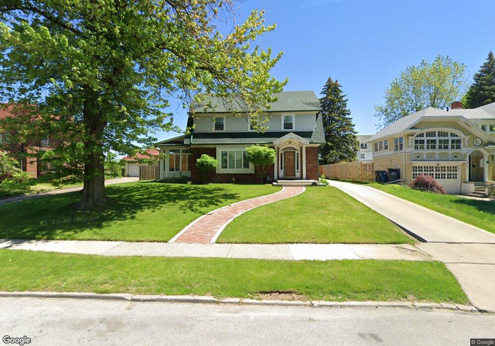
2146 Shenandoah Rd Toledo, OH 43607
Ottawa NeighborhoodEstimated Value: $198,000 - $246,000
4
Beds
1
Bath
1,936
Sq Ft
$109/Sq Ft
Est. Value
About This Home
This home is located at 2146 Shenandoah Rd, Toledo, OH 43607 and is currently estimated at $211,146, approximately $109 per square foot. 2146 Shenandoah Rd is a home located in Lucas County with nearby schools including Jesup W. Scott High School, Explorers Academy, and GESU Catholic School.
Ownership History
Date
Name
Owned For
Owner Type
Purchase Details
Closed on
Aug 24, 2000
Sold by
National City Bank
Bought by
Williams Rodney K and Williams Angela F
Current Estimated Value
Home Financials for this Owner
Home Financials are based on the most recent Mortgage that was taken out on this home.
Original Mortgage
$115,463
Outstanding Balance
$41,659
Interest Rate
8.15%
Mortgage Type
Unknown
Estimated Equity
$169,487
Create a Home Valuation Report for This Property
The Home Valuation Report is an in-depth analysis detailing your home's value as well as a comparison with similar homes in the area
Home Values in the Area
Average Home Value in this Area
Purchase History
| Date | Buyer | Sale Price | Title Company |
|---|---|---|---|
| Williams Rodney K | $121,540 | American 1St |
Source: Public Records
Mortgage History
| Date | Status | Borrower | Loan Amount |
|---|---|---|---|
| Open | Williams Rodney K | $115,463 |
Source: Public Records
Tax History Compared to Growth
Tax History
| Year | Tax Paid | Tax Assessment Tax Assessment Total Assessment is a certain percentage of the fair market value that is determined by local assessors to be the total taxable value of land and additions on the property. | Land | Improvement |
|---|---|---|---|---|
| 2024 | $1,919 | $61,915 | $11,445 | $50,470 |
| 2023 | $2,674 | $40,180 | $8,540 | $31,640 |
| 2022 | $2,661 | $40,180 | $8,540 | $31,640 |
| 2021 | $2,723 | $40,180 | $8,540 | $31,640 |
| 2020 | $2,724 | $35,455 | $7,455 | $28,000 |
| 2019 | $2,663 | $35,455 | $7,455 | $28,000 |
| 2018 | $2,677 | $35,455 | $7,455 | $28,000 |
| 2017 | $2,726 | $34,650 | $7,280 | $27,370 |
| 2016 | $2,724 | $99,000 | $20,800 | $78,200 |
| 2015 | $2,699 | $99,000 | $20,800 | $78,200 |
| 2014 | $2,179 | $34,650 | $7,280 | $27,370 |
| 2013 | $2,179 | $34,650 | $7,280 | $27,370 |
Source: Public Records
Map
Nearby Homes
- 2141 Joffre Ave
- 2053 Calumet Ave
- 2289 Upton Ave
- 1914 Upton Ave
- 2322 Upton Ave
- 2026 Clinton St
- 2324 Upton Ave
- 1749 Milburn Ave
- 1847 Cone St
- 1943 Macomber St
- 1819 Shenandoah Rd
- 2334 Torrey Hill Dr
- 2340 Torrey Hill Dr
- 2032 Elliott Ave
- 1833 Ottawa Dr
- 1723 Potomac Dr
- 1522 Cone St
- 2144 Hawthorne St
- 2242 Auburn Ave
- 1428 Freeman St
- 2160 Shenandoah Rd
- 2140 Shenandoah Rd
- 2149 Upton Ave
- 2143 Upton Ave
- 2147 Upton Ave
- 2147 Shenandoah Rd
- 2149 Shenandoah Rd
- 2157 Shenandoah Rd
- 2137 Upton Ave
- 2128 Shenandoah Rd
- 2145 Potomac Dr
- 2125 Upton Ave
- 2120 Shenandoah Rd
- 2137 Potomac Dr
- 2160 Mount Vernon Ave
- 2119 Upton Ave
- 2138 Upton Ave
- 1922 W Bancroft St
- 2148 Upton Ave
- 1920 W Bancroft St