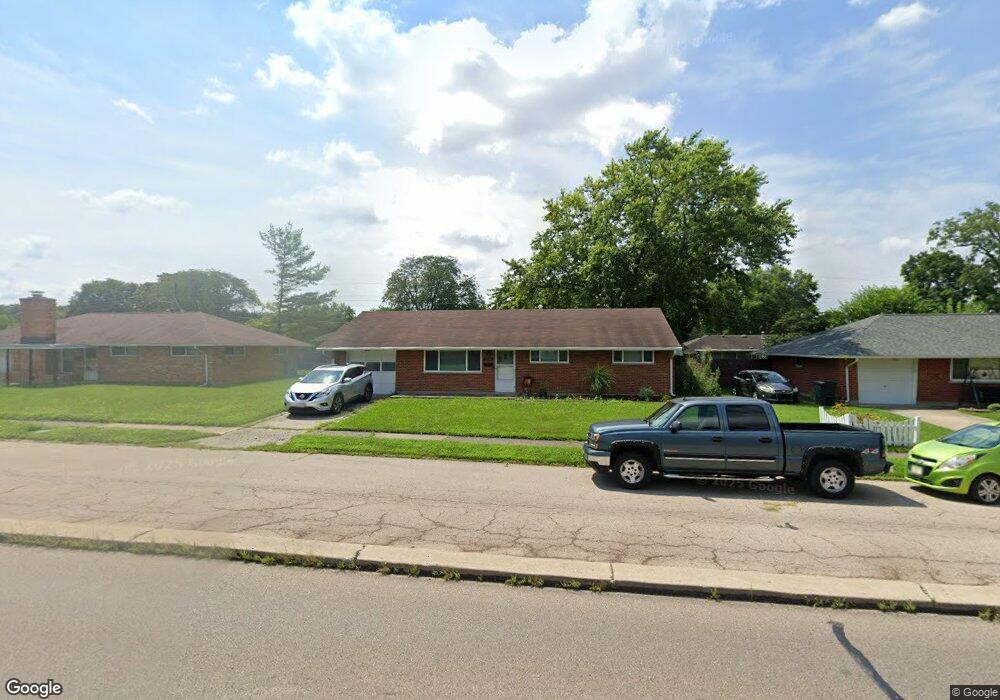
2146 W Stroop Rd Dayton, OH 45439
Woodbourne-Hyde Park NeighborhoodEstimated Value: $180,000 - $205,000
3
Beds
1
Bath
1,395
Sq Ft
$136/Sq Ft
Est. Value
About This Home
This home is located at 2146 W Stroop Rd, Dayton, OH 45439 and is currently estimated at $189,789, approximately $136 per square foot. 2146 W Stroop Rd is a home located in Montgomery County with nearby schools including West Carrollton High School, Miami Valley Academies, and St. Albert the Great School.
Ownership History
Date
Name
Owned For
Owner Type
Purchase Details
Closed on
Aug 6, 2014
Sold by
Galloway Carl S
Bought by
Wolfenson Howard
Current Estimated Value
Home Financials for this Owner
Home Financials are based on the most recent Mortgage that was taken out on this home.
Original Mortgage
$66,397
Outstanding Balance
$50,259
Interest Rate
4.15%
Mortgage Type
VA
Estimated Equity
$139,530
Purchase Details
Closed on
Jul 10, 2012
Sold by
Galloway Carl S
Bought by
Galloway Carl S
Purchase Details
Closed on
Jul 28, 1994
Sold by
Kling Jack C and Kling Evelyn M
Bought by
Galloway Carl S
Create a Home Valuation Report for This Property
The Home Valuation Report is an in-depth analysis detailing your home's value as well as a comparison with similar homes in the area
Home Values in the Area
Average Home Value in this Area
Purchase History
| Date | Buyer | Sale Price | Title Company |
|---|---|---|---|
| Wolfenson Howard | $65,000 | None Available | |
| Galloway Carl S | -- | None Available | |
| Galloway Carl S | -- | -- |
Source: Public Records
Mortgage History
| Date | Status | Borrower | Loan Amount |
|---|---|---|---|
| Open | Wolfenson Howard | $66,397 |
Source: Public Records
Tax History
| Year | Tax Paid | Tax Assessment Tax Assessment Total Assessment is a certain percentage of the fair market value that is determined by local assessors to be the total taxable value of land and additions on the property. | Land | Improvement |
|---|---|---|---|---|
| 2025 | $3,494 | $48,390 | $7,820 | $40,570 |
| 2024 | $3,401 | $48,390 | $7,820 | $40,570 |
| 2023 | $3,401 | $48,390 | $7,820 | $40,570 |
| 2022 | $2,958 | $32,480 | $5,250 | $27,230 |
| 2021 | $2,735 | $32,480 | $5,250 | $27,230 |
| 2020 | $2,733 | $32,480 | $5,250 | $27,230 |
| 2019 | $2,795 | $29,070 | $5,250 | $23,820 |
| 2018 | $2,614 | $29,070 | $5,250 | $23,820 |
| 2017 | $2,598 | $29,070 | $5,250 | $23,820 |
| 2016 | $2,628 | $28,450 | $5,250 | $23,200 |
| 2015 | $2,508 | $28,450 | $5,250 | $23,200 |
| 2014 | $2,508 | $28,450 | $5,250 | $23,200 |
| 2012 | -- | $29,000 | $7,000 | $22,000 |
Source: Public Records
Map
Nearby Homes
- 1764 Lanbury Dr
- 2090 Mattis Dr
- 3865 Endover Rd
- 2005 Owendale Dr
- 4304 Harbison St
- 3929 Fulton Ave
- 4207 S Dixie Dr
- 4301 Tait Rd
- 4476 Hannaford St
- 1952 Tait Circle Rd
- 4518 Harbison St
- 5100 Oak Ave
- 2087 Lehigh Place
- 3285 Southdale Dr Unit 4
- 3225 Southdale Dr Unit 1
- 4935 Cordell Dr
- 2501 Genoa Ave
- 3464 Westbury Rd
- 2369 Polo Park Dr
- 4400 Royal Ridge Way
- 2132 W Stroop Rd
- 2160 W Stroop Rd
- 2171 Norway Dr
- 2143 Norway Dr
- 2118 W Stroop Rd
- 2174 W Stroop Rd
- 2185 Norway Dr
- 2129 Norway Dr
- 1799 W Stroop Rd
- 2106 W Stroop Rd
- 2188 W Stroop Rd
- 1801 W Stroop Rd
- 1785 W Stroop Rd
- 2154 Norway Dr
- 2199 Norway Dr
- 2115 Norway Dr
- 1813 W Stroop Rd
- 2168 Norway Dr
- 2140 Norway Dr
- 1773 W Stroop Rd
Your Personal Tour Guide
Ask me questions while you tour the home.