21467 Bozarth Cemetery Rd Gentry, AR 72734
Estimated Value: $276,000 - $348,000
1
Bed
2
Baths
1,454
Sq Ft
$216/Sq Ft
Est. Value
About This Home
This home is located at 21467 Bozarth Cemetery Rd, Gentry, AR 72734 and is currently estimated at $314,523, approximately $216 per square foot. 21467 Bozarth Cemetery Rd is a home located in Benton County with nearby schools including Gentry Intermediate School, Gentry Primary School, and Gentry Middle School.
Ownership History
Date
Name
Owned For
Owner Type
Purchase Details
Closed on
Nov 23, 2010
Sold by
Brazile Charles D and Brazile Bobbie C
Bought by
Brazile Jerry Ray and Brazile Rebecca Lynn
Current Estimated Value
Purchase Details
Closed on
Mar 31, 2010
Sold by
Choat Carolyn and Choat John
Bought by
Brazile Charles D and Brazile Bobbie C
Purchase Details
Closed on
May 22, 2000
Bought by
Choat
Purchase Details
Closed on
Aug 10, 1999
Bought by
Mcreynolds
Purchase Details
Closed on
Sep 22, 1994
Bought by
Mcchristian
Purchase Details
Closed on
Aug 12, 1994
Bought by
Mcchristian
Create a Home Valuation Report for This Property
The Home Valuation Report is an in-depth analysis detailing your home's value as well as a comparison with similar homes in the area
Home Values in the Area
Average Home Value in this Area
Purchase History
| Date | Buyer | Sale Price | Title Company |
|---|---|---|---|
| Brazile Jerry Ray | -- | None Available | |
| Brazile Charles D | $50,000 | Elite Title Company Inc | |
| Choat | $87,000 | -- | |
| Mcreynolds | $85,000 | -- | |
| Mcchristian | -- | -- | |
| Mcchristian | $10,000 | -- |
Source: Public Records
Tax History Compared to Growth
Tax History
| Year | Tax Paid | Tax Assessment Tax Assessment Total Assessment is a certain percentage of the fair market value that is determined by local assessors to be the total taxable value of land and additions on the property. | Land | Improvement |
|---|---|---|---|---|
| 2025 | $1,869 | $54,075 | $21,000 | $33,075 |
| 2024 | $1,742 | $54,075 | $21,000 | $33,075 |
| 2023 | $1,659 | $33,180 | $7,000 | $26,180 |
| 2022 | $1,390 | $33,180 | $7,000 | $26,180 |
| 2021 | $1,292 | $37,800 | $7,000 | $30,800 |
| 2020 | $1,213 | $29,910 | $4,300 | $25,610 |
| 2019 | $1,213 | $29,910 | $4,300 | $25,610 |
| 2018 | $1,238 | $29,910 | $4,300 | $25,610 |
| 2017 | $1,238 | $29,910 | $4,300 | $25,610 |
| 2016 | $1,238 | $29,910 | $4,300 | $25,610 |
| 2015 | $1,608 | $32,160 | $3,000 | $29,160 |
| 2014 | $1,258 | $31,850 | $3,000 | $28,850 |
Source: Public Records
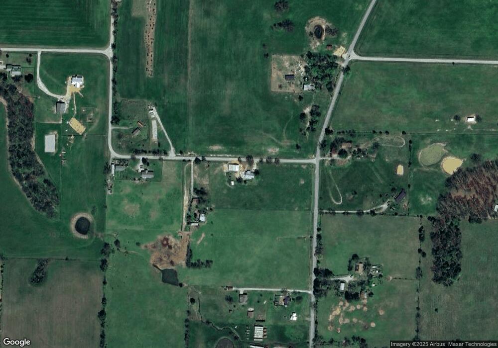
Map
Nearby Homes
- 21743 Bozarth Cemetery Rd
- 21214 Floyd Moore Rd
- 21854 Floyd Moore Rd
- 19241 Floyd Moore Rd
- 22.56 Acres Floyd Moore Rd
- TBD Floyd Moore Rd
- 20894 Floyd Moore Rd
- 0 Bozarth Cemetery Rd
- 22006 Bozarth Cemetery Rd
- 159 Acres MOL Safari Rd
- 22338 Floyd Moore Rd
- 22443 Floyd Moore Rd
- 11230 John Zodrow Rd
- TBD N Bloomfield Rd
- 21944 Arkansas 12
- 604 W Eureka St
- 302 W Fulton St
- 0 Orchard
- 513 N Byers Ave
- Rc Morgan Plan at Crowder
- 21529 Bozarth Cemetery Rd
- 10088 Wpa Rd
- 21527 Bozarth Cemetery Rd
- 10023 Wpa Rd
- 10097 Wpa Rd
- 21534 Bozarth Cemetery Rd
- 10133 Wpa Rd
- 10214 Wpa Rd
- TBD (10 ac mol) Bozarth Cemetery Rd
- 10155 Wpa Rd
- 9922 Wilmoth Cir
- 21743 Bozarth Cemetery Rd
- 21592 Floyd Moore Rd
- 21592 Floyd Moore Rd
- 21592 Floyd Moore Rd
- 10465 Wpa Rd
- 21758 Floyd Moore Rd
- 21758 Floyd Moore Rd
- 10473 Wpa Rd
- 21094 Floyd Moore Rd